South Fork Klaskanine River
- 4.6 mi
- distance
- 1,251 ft
- high point
- Apr–Oct
- best months
The South Fork Klaskanine River is a canoeing route in Oregon, about 4.6 miles long and roughly 8 miles from the town of Jewell. It sits among a network of paddling waters in the area, with the North Fork Klaskanine River and Youngs River both within a few miles. Summer is the most comfortable time to paddle. Typical July and August highs reach about 70°F with lows near 53°F, based on averages from a nearby weather station. That station sits well below the river, so expect cooler temperatures on the water. Winter highs stay in the upper 40s. Paddlers can link up with other stretches in the area. The North Fork Klaskanine River is about 3.6 miles away, Youngs River about 3.3 miles, and Saddle Mountain Trail is about 4.8 miles off for a hike. Elk Creek, roughly 5.5 miles away, offers more paddling.
Local outfitters
- River's Edge RV Resort and Camping22 mi away
- Jazmik's Jewel RV Park30 mi away
Not on Roamze yet. Their page has how to reach them.
 Youngs RiverCanoeingPhoto: The original uploader was Decumanus at English Wikipedia., CC BY-SA 3.0 (via Wikimedia Commons)3.3 mi
- North Fork Klaskanine RiverCanoeing3.6 mi
- Saddle Mountain TrailHiking4.8 mi
- Elk CreekCanoeing5.5 mi
- Beneke CreekCanoeing6.5 mi
- Big CreekCanoeing8.2 mi
- Wallooskee RiverCanoeing9.3 mi
- Little North Fork Nehalem RiverCanoeing9.5 mi
Source: Roamze catalog (indexable pages within 10 miles, PostGIS distance)
- Youngs RiverCanoeing · ~6 min drivePhoto: The original uploader was Decumanus at English Wikipedia., CC BY-SA 3.0 (via Wikimedia Commons)
- Cullaby Lake Boat LaunchBoat launch · ~25 min drive
 Necanicum RiverCanoeing · ~18 min drivePhoto: M.O. Stevens, CC BY-SA 3.0 (via Wikimedia Commons)
- Westport Boat RampBoat launch · ~25 min drive
 Salmonberry RiverCanoeing · ~36 min drivePhoto: Cheryl Hill, CC BY-SA 2.0 (via Wikimedia Commons)
- East End Basin Boat LaunchBoat launch · ~26 min drive
- North Fork Klaskanine RiverCanoeing · ~6 min drive
- Aldrich Point Boat RampBoat launch · ~27 min drive
- Elk CreekCanoeing · ~9 min drive
- Warrenton Boat LaunchBoat launch · ~30 min drive
Also worth it near here
 Saddle MountainSummit · ~7 min drivePhoto: Walter Siegmund (talk), CC BY-SA 3.0 (via Wikimedia Commons)
 Youngs River FallsWaterfall · ~15 min drivePhoto: Ian Sane from Oregon, USA, CC BY 2.0 (via Wikimedia Commons)
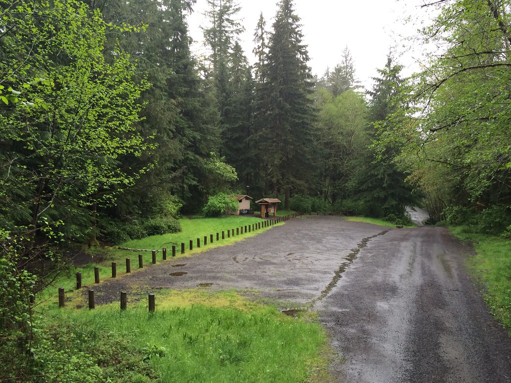 Gnat Creek CampgroundCamping · ~22 min drivePhoto: Sam Beebe — CC BY 2.0 (via Flickr)
- Evil TwinMountain biking · ~23 min drive
Best time to visit South Fork Klaskanine River
Best months: April–October. Best months have typical highs of 55–85 °F, lows of 30 °F or warmer (32 °F where the station doesn't record snow), at most one snowy day and no more than 12 wet days.
Jan
49° / 38°
Feb
51° / 37°
Mar
54° / 39°
Apr
58° / 41°
May
64° / 45°
Jun
67° / 49°
Jul
70° / 53°
Aug
71° / 53°
Sep
70° / 49°
Oct
61° / 45°
Nov
53° / 40°
Dec
49° / 37°
Typical high / low (°F) and days with rain or snow, 1991–2020. Measured at Ft Clatsop Natl Mem, OR, 14.8 mi away at 42 ft. The station sits about 1,200 ft lower than this place, so expect it a little cooler here. This station doesn't record snowfall. Source: NOAA NCEI U.S. Climate Normals 1991–2020.
