Snake River Trail
- 31.6 mi
- one way
- 4,681 ft
- climb
- 3,031 ft
- high point
- Point to point
- route
- Jun–Oct
- best months
Caution today
Agency alerts are in effect for this area; weather is marginal · USFS, OpenWeather · checked 9 h ago
Is Snake River Trail open right now?
Closure in the area
There's a closure order in Wallowa-Whitman National Forest. It doesn't name Snake River Trail, so check the source for the area it covers.
Anthony Fire Area Closure
Agency closure covering Wallowa-Whitman National Forest · USFS · Wallowa-Whitman National Forest
PHASE B FIRE RESTRICTIONS WALLOW-WHITMAN NATIONAL FOREST
Agency alert covering Wallowa-Whitman National Forest · Order 06-16-00-25-01 · USFS · Wallowa-Whitman National Forest
PHASE A FIRE RESTRICTIONS Wallowa-Whitman NATIONAL FOREST
Agency alert covering Wallowa-Whitman National Forest · Order 06-16-00-25-00 · USFS · Wallowa-Whitman National Forest
As of · Source: USFS · Wallowa-Whitman National Forest. Agencies don't list every closure — check before you go.
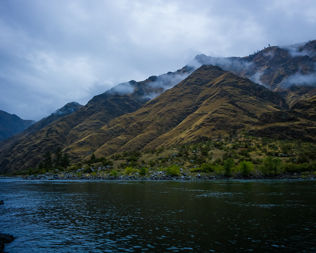
Snake River Trail is a 31.6-mile point-to-point hike in Hells Canyon National Recreation Area, part of the Wallowa-Whitman National Forest in northeastern Oregon. The Forest Service manages the land, and the trail crosses into Idaho's Hells Canyon National Recreation Area, with Pittsburg Campground about 8.5 miles away. The route is rated expert, and it's a long one. It starts at about 1,677 feet and climbs to 3,031 feet, with a total gain of 4,681 feet and a total loss of 5,111 feet. That makes it a serious commitment, and the trail's middle section is the most sustained part of the climb. Summer is the most comfortable time to go. Typical averages from the nearby Grangeville, Idaho, weather station show July and August highs in the low 80s with only five or six wet days a month, while winter brings highs in the upper 30s and a few snow days each month. Several shorter trails sit close by, including Lookout Bench Trail at 0.8 miles and Lone Pine Bench Trail at 1.8 miles. For an overnight base, Pittsburg Campground is about 8.5 miles away.
Local outfitters
- Eagle Cap Mountain Guides38 mi away
- Oregon Backcountry Outfitting43 mi away
Not on Roamze yet. Their page has how to reach them.
- Lookout Bench TrailHiking0.8 mi
- Lone Pine Bench TrailHiking1.8 mi
- Lookout TrailHiking2.6 mi
- Lone Pine Bench Trail AHiking3.1 mi
- Cat Creek TrailHiking3.6 mi
- Deep Creek Ridge Trail AHiking3.7 mi
- Pittsburg CampgroundCamping8.5 mi
- Hells Canyon National Recreation Area - IdahoRiver fishing9.6 mi
Source: Roamze catalog (indexable pages within 10 miles, PostGIS distance)
 Klopton Creek TrailHiking · ~16 min drivePhoto: WaterArchives.org from Sacramento, California, USA, CC BY-SA 2.0 (via Wikimedia Commons)
 Old Corral Creek TrailHiking · ~18 min drivePhoto: nan palmero, CC BY 2.0 (via Flickr)
- Lookout Bench TrailHiking · ~1 min drive
- Cat Creek TrailHiking · ~6 min drive
- Lone Pine Bench TrailHiking · ~3 min drive
- Lookout TrailHiking · ~5 min drive
- Deep Creek TrailHiking · ~8 min drive
- Lone Pine Bench Trail BHiking · ~6 min drive
- Lone Pine Bench Trail AHiking · ~5 min drive
- Deep Creek Bench TrailHiking · ~12 min drive
Best time to visit Snake River Trail
Best months: June–October. Best months have typical highs of 55–85 °F, lows of 30 °F or warmer (32 °F where the station doesn't record snow), at most one snowy day and no more than 12 wet days.
Jan
38° / 25°
9 wet · 3 snow
Feb
42° / 25°
9 wet · 3 snow
Mar
49° / 29°
12 wet · 3 snow
Apr
56° / 34°
13 wet · 1 snow
May
64° / 42°
13 wet
Jun
70° / 48°
11 wet
Jul
82° / 54°
6 wet
Aug
83° / 53°
5 wet
Sep
73° / 45°
6 wet
Oct
58° / 37°
9 wet
Nov
45° / 29°
11 wet · 2 snow
Dec
37° / 24°
10 wet · 4 snow
Typical high / low (°F) and days with rain or snow, 1991–2020. Measured at Grangeville, ID, 24.7 mi away at 3,300 ft. Source: NOAA NCEI U.S. Climate Normals 1991–2020.
Map and trail data © OpenStreetMap contributors
