Parkway
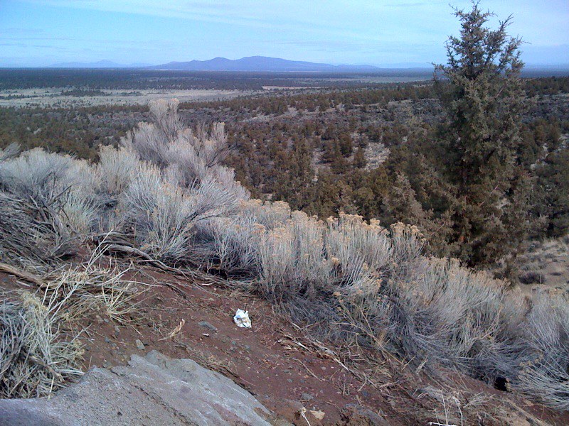 Photo: Sapphireblue, CC BY 2.0 (via Flickr)
- 4.3 mi
- round trip
- 1,248 ft
- climb
- 4,508 ft
- high point
- Out and back
- route
Parkway is a moderate hike on Bureau of Land Management land within the Prineville Deschutes Field Office in central Oregon. The route is an out-and-back of about 8.5 miles, starting at roughly 3,639 feet and climbing to about 4,508 feet. That makes the total elevation gain about 1,248 feet over the round trip, with the steepest stretch of about 30% grade at about 1.7 miles in. Summer is the most comfortable time to go. Typical averages from the nearby Sunriver weather station run from highs around 72°F in June to about 84°F in July, with September still near 76°F. Winter is cold, with January highs around 40°F and lows near 20°F. The hike takes about 3.5 hours. The Escape from Moscow route starts just 0.1 mile away, and Sand Canyon and Dry River Trail are within about a mile and a half. Climbers can find Castle about 3 miles off.
Map and trail data © OpenStreetMap contributors
