Huckleberry Mountain
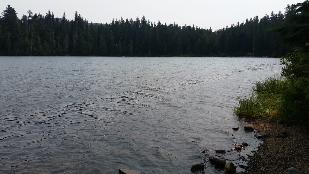 Photo: mjfmjfmjf, CC BY 2.0 (via Flickr)
- 2.2 mi
- round trip
- 706 ft
- climb
- 4,020 ft
- high point
- Out and back
- route
- Jun–Sep
- best months
Huckleberry Mountain is an easy out-and-back hike in Oregon's Mt. Hood National Forest, within the Zigzag Ranger District. The trail is about 2.2 miles long, with a total elevation gain of 215 feet, and it starts at roughly 3,873 feet, rising to a high point of about 4,020 feet. The climb is gentle overall, with the steepest stretch coming early, around 0.15 miles from the start, where the grade reaches about 14%. The trail surface is natural, and the Forest Service manages the land. Summer is the most comfortable time to go. Typical averages from a nearby weather station at Government Camp show July and August highs around 69 to 70°F, with only about four wet days a month. Winter is cold and wet, with highs in the mid-30s and rain on most days. Lost Lake Vista and Lakeshore are both about 0.6 miles away. Climbers can head to Rewilding Boulders, about 1.4 miles off, and Lost Lake campground sits about 1.5 miles away.
Best time to go · Jun–Sep
Best time to visit Huckleberry Mountain
Best months: June–September. Best months have typical highs of 55–85 °F, lows of 30 °F or warmer (32 °F where the station doesn't record snow), at most one snowy day and no more than 12 wet days.
Jan
37° / 26°
20 wet
Feb
38° / 26°
17 wet
Mar
41° / 28°
20 wet
Apr
45° / 31°
18 wet
May
54° / 36°
15 wet
Jun
59° / 41°
10 wet
Jul
69° / 48°
4 wet
Aug
70° / 48°
4 wet
Sep
64° / 45°
8 wet
Oct
53° / 37°
13 wet
Nov
42° / 30°
18 wet
Dec
35° / 26°
21 wet
Typical high / low (°F) and days with rain or snow, 1991–2020. Measured at Government Camp, OR, 13.1 mi away at 3,980 ft. This station doesn't record snowfall. Source: NOAA NCEI U.S. Climate Normals 1991–2020.
