Vincent Creek Recreation Site
- Feb–Jun, Aug–Nov
- best months
- At 186 ft
- Coos Bay Umpqua Field Office
Vincent Creek Recreation Site is a campground in Oregon at about 186 feet. It is managed by the Bureau of Land Management.
Local outfitters
- Coast Marina RV Resort19 mi away
- The Port of Siuslaw Campground and Marina20 mi away
Not on Roamze yet. Their page has how to reach them.
- Smith River FallsBoat launch1.8 mi
- Vincent CreekCanoeing3.4 mi
- West Fork Smith RiverCanoeing4.6 mi
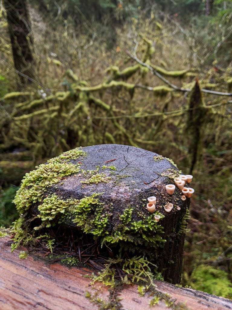 Kentucky FallsHikingPhoto: Jonathan Lidbeck, CC BY 2.0 (via Flickr)9.3 mi
- Upper Kentucky FallsWaterfall9.4 mi
- North Fork Smith River TrailHikingPhoto: Jonathan Lidbeck, CC BY 2.0 (via Flickr)9.6 mi
- Lower Kentucky FallsWaterfall9.7 mi
- North Fork FallsWaterfall9.8 mi
Source: Roamze catalog (indexable pages within 10 miles, PostGIS distance)
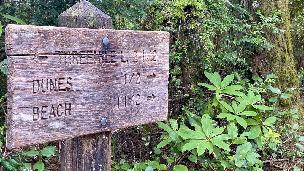 Tahkenitch CampgroundCamping · ~32 min drivePhoto: lamblukas — CC BY 2.0 (via Flickr)
 Waxmyrtle CampgroundCamping · ~33 min drivePhoto: dogplusplus — CC BY 2.0 (via Flickr)
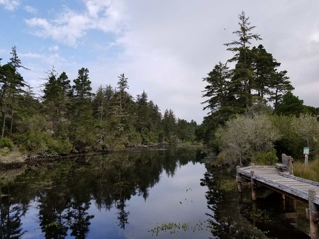 Lagoon CampgroundCamping · ~33 min drivePhoto: douaireg — CC BY-SA 2.0 (via Flickr)
- Smith River Falls Recreation SiteCamping · ~3 min drive
- Clay Creek Recreation SiteCamping · ~22 min drive
- Loon Lake Recreation SiteCamping · ~24 min drive
- East Shore Campground ORCamping · ~25 min drive
- Archie Knowles County CampgroundCamping · ~27 min drive
- Maple Lane RV ParkCamping · ~28 min drive
- Darling's RV ResortCamping · ~31 min drive
Best time to visit Vincent Creek Recreation Site
Best months: February–June and August–November. Best months have typical highs of 55–85 °F, lows of 30 °F or warmer (32 °F where the station doesn't record snow), at most one snowy day and no more than 12 wet days.
Jan
51° / 36°
Feb
55° / 35°
Mar
60° / 37°
Apr
64° / 39°
May
72° / 43°
Jun
77° / 48°
Jul
86° / 50°
Aug
85° / 51°
Sep
81° / 46°
Oct
69° / 42°
Nov
56° / 39°
Dec
49° / 36°
Typical high / low (°F) and days with rain or snow, 1991–2020. Measured at Elkton 1sw, OR, 14.2 mi away at 125 ft. This station doesn't record snowfall. Source: NOAA NCEI U.S. Climate Normals 1991–2020.

Map and trail data © OpenStreetMap contributors
