Promontory Park Campground
Campground
Campground · < 0.1 mi from the trail
Closure in the area
There's a closure order in Clackamas River Ranger District. It doesn't name Promontory Park Campground, so check the source for the area it covers.
Clackamas River RD Fires
Agency closure covering Clackamas River Ranger District · Order 06-06-05-26-20 · USFS · Clackamas River Ranger District
Emergency fire closure on FR 57
Agency alert covering Clackamas River Ranger District · USFS · Clackamas River Ranger District
Eagle Creek Fire Area Closures
Agency alert covering Mt. Hood National Forest · Order 06-22-01-26-04 · USFS · Mt. Hood National Forest
Roadside Danger Trees Health and Safety Closure
Agency alert covering Clackamas River Ranger District · Order 06-06-05-26-02 · USFS · Clackamas River Ranger District
FR 4613 road damage- use caution
Agency alert covering Mt. Hood National Forest · USFS · Mt. Hood National Forest
As of · Source: USFS · Clackamas River Ranger District. Agencies don't list every closure — check before you go.
Promontory Park Campground is a campground in Oregon at about 709 feet.
Promontory Park Campground
Campground
 If it rainsIan Poellet, CC BY-SA 3.0 · Wikimedia Commons
Places © OpenStreetMap contributors · Photos: Ian Poellet, CC BY-SA 3.0 (commons)
More in Mount Hood VillagesNot on Roamze yet. Their page has how to reach them.
Best months: June–September. Best months have typical highs of 55–85 °F, lows of 30 °F or warmer (32 °F where the station doesn't record snow), at most one snowy day and no more than 12 wet days.
Jan
49° / 35°
20 wet
Feb
53° / 36°
18 wet
Mar
57° / 38°
20 wet
Apr
62° / 41°
18 wet
May
69° / 46°
15 wet
Jun
73° / 51°
11 wet
Jul
82° / 54°
5 wet
Aug
83° / 54°
4 wet
Sep
77° / 50°
9 wet
Oct
65° / 45°
15 wet
Nov
54° / 39°
19 wet
Dec
48° / 35°
21 wet
Typical high / low (°F) and days with rain or snow, 1991–2020. Measured at Estacada 2 Se, OR, 5.2 mi away at 514 ft. Source: NOAA NCEI U.S. Climate Normals 1991–2020.
BED
Lazy Bend
~4 min drive
 Photo: Forest Service Pacific Northwest Region — Public Domain Mark 1.0 (via Flickr)
Moore Creek
~5 min drive
Moore Creek is a campground in California with 45 sites.
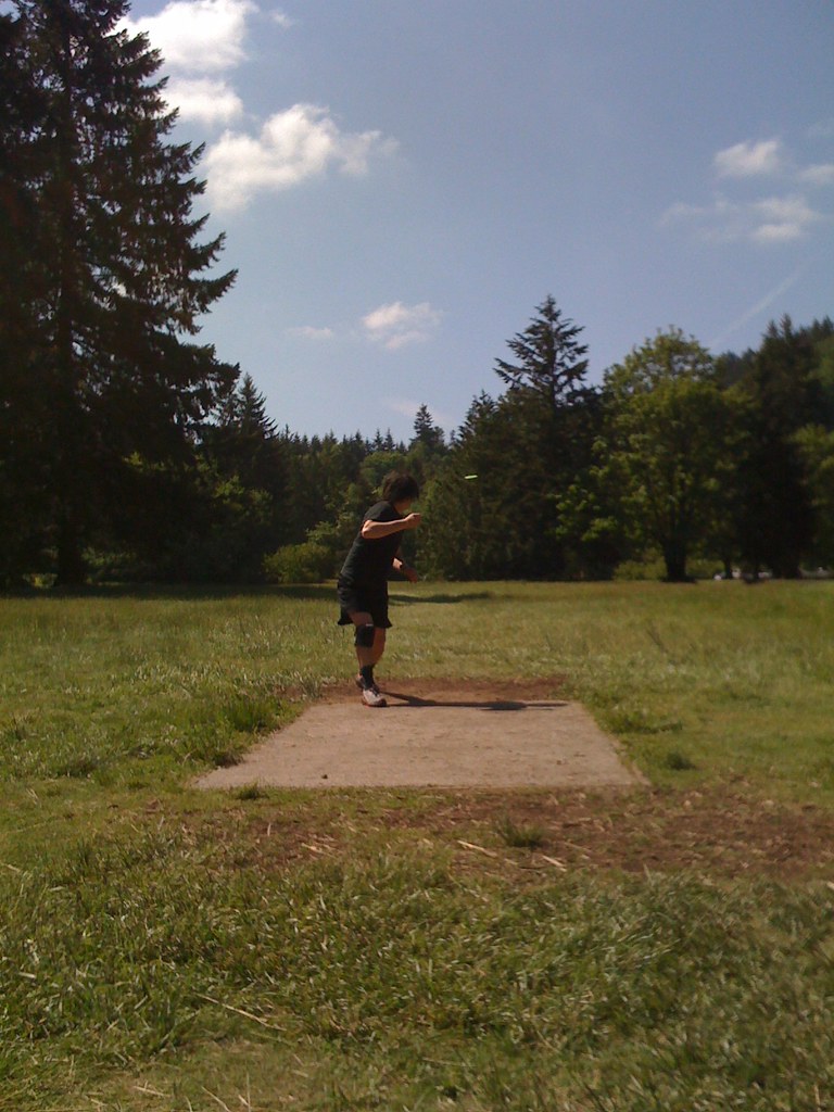 Photo: Steve Ganz — CC BY 2.0 (via Flickr)
Milo McIver Campground
~13 min drive
Milo McIver Campground is a campground in Oregon at about 403 feet.
BED
Ripplebrook
~23 min drive
BED
Rainbow (or)
~23 min drive
BED
Riverside (Mt. Hood National Forest, OR)
~25 min drive
BED
Raab
~27 min drive
BED
Lake Harriet Campground
~29 min drive
BED
Roaring River
~13 min drive
BED
Clackamas RV Park
Next door
Clackamas RV Park is a campground in Oregon at about 822 feet.
Map and trail data © OpenStreetMap contributors


