Mountain Lake Boat Launch
- Feb–May, Oct–Dec
- best months
Mountain Lake Boat Launch is a boat launch in Oklahoma, about 8 miles from the town of Davis. It gives boaters a put-in on Mountain Lake, and the closest neighbor is Caddo Creek, a canoeing spot about 4 miles away. Spring and fall are the most comfortable times to get on the water. Typical averages from a nearby weather station in Ardmore show April highs around 74°F and October highs around 75°F, while July and August average about 94°F. For more time on the water, Caddo Creek is the closest nearby option.
Source: Roamze catalog (indexable pages within 10 miles, PostGIS distance)
 Blue RiverCanoeing · ~1h drivePhoto: Public domain (via Wikimedia Commons)
- Caddo CreekCanoeing · ~8 min drive
- Walnut CreekCanoeing · ~22 min drive
- Wildhorse CreekCanoeing · ~36 min drive
- Rock CreekCanoeing · ~37 min drive
- Hickory CreekCanoeing · ~38 min drive
- Walnut BayouCanoeing · ~40 min drive
- Mud CreekCanoeing · ~46 min drive
- Pennington CreekCanoeing · ~52 min drive
- Rush CreekCanoeing · ~52 min drive
Also worth it near here
 Turner FallsWaterfall · ~15 min drivePhoto: Sturm's Oklahoma Magazine, Public domain (via Wikimedia Commons)
- Buckhorn PavilionLake fishing · ~28 min drive
 Buckhorn Campground (Chickasaw)Camping · ~30 min drivePhoto: Tony Webster — CC BY 2.0 (via Flickr)
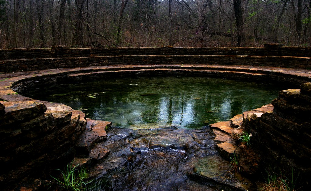 Travertine Creek TrailHiking · ~35 min drivePhoto: BaronBrian, CC BY 2.0 (via Flickr)
Best time to visit Mountain Lake Boat Launch
Best months: February–May and October–December. Best months have typical highs of 55–85 °F, lows of 30 °F or warmer (32 °F where the station doesn't record snow), at most one snowy day and no more than 12 wet days.
Jan
53° / 31°
Feb
58° / 36°
Mar
66° / 43°
Apr
74° / 51°
May
81° / 60°
Jun
89° / 68°
Jul
94° / 72°
Aug
94° / 71°
Sep
86° / 64°
Oct
75° / 52°
Nov
65° / 42°
Dec
55° / 33°
Typical high / low (°F) and days with rain or snow, 1991–2020. Measured at Ardmore 7wnw Mesonet, OK, 10.6 mi away at 928 ft. This station doesn't record snowfall. Source: NOAA NCEI U.S. Climate Normals 1991–2020.
Map and trail data © OpenStreetMap contributors
