Rock Stalls Trail
- 0.9 mi
- loop
- 188 ft
- climb
- 1,072 ft
- high point
- Loop
- route
- Apr, Jun–Oct
- best months
Clear at last check
Weather is good · OpenWeather · checked 18 h ago
Rock Stalls Trail is a short loop in Ohio, about 0.9 miles long, that starts and ends at roughly 1,027 feet. The route climbs to a high point of 1,072 feet and descends to 918 feet, so the total elevation change is about 188 feet up and 171 feet down, and the steepest stretch comes at about 0.43 miles into the loop with a grade of around 15 percent. It is an easy hike, and the nearest town is Swartz Mill, about 1.7 miles away. Late spring and early fall are the most comfortable times to go. Typical averages from a nearby weather station in Logan put May highs around 74°F and September highs near 78°F, and September has the fewest wet days of the year, about eight. The trip takes about half an hour, and the loop makes it easy to fit into a longer day on foot. Meadow Trail is about 2.8 miles away, and Rock Shelter Trail is about 4.1 miles away. Rhododendron Cove Blue Loop Trail lies about 5.6 miles off, and the climbing at Geneva Hills is about 6.7 miles away.
- Meadow TrailHiking2.8 mi
 Rock Shelter TrailHikingPhoto: daveynin, CC BY 2.0 (via Flickr)4.1 mi
- Rhododendron Cove Blue Loop TrailHiking5.6 mi
- Geneva HillsRock climbing6.7 mi
- Buckeye Trail (on-road)Hiking6.8 mi
- Twin Lakes TrailHiking6.8 mi
- Lakes TrailHiking7 mi
- Backhand TrailHiking7.1 mi
Source: Roamze catalog (indexable pages within 10 miles, PostGIS distance)
- Rock Shelter TrailHiking · ~7 min drivePhoto: daveynin, CC BY 2.0 (via Flickr)
- Buckeye Trail (on-road)Hiking · ~12 min drive
- Cemetery Ridge TrailHiking · ~13 min drive
- Chestnut TrailHiking · ~16 min drive
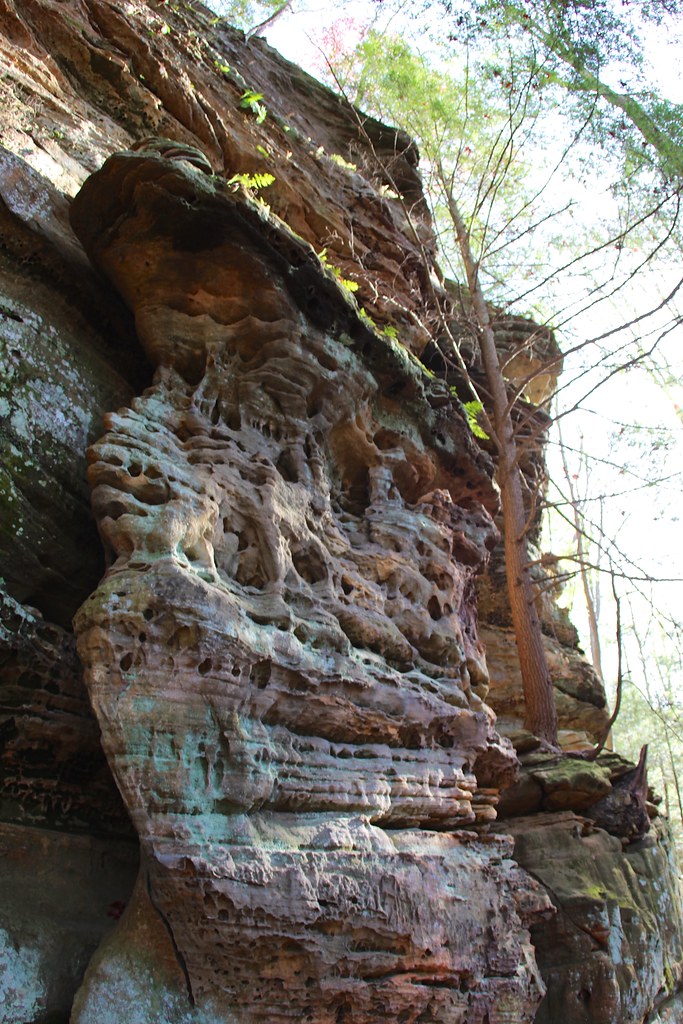 Cantwell Rim TrailHiking · ~14 min drivePhoto: daveynin, CC BY 2.0 (via Flickr)
- Stone Church Main LoopHiking · ~16 min drive
- Nct Athens WestHiking · ~16 min drive
 Greendale TrailHiking · ~18 min drivePhoto: Wayne National Forest, Public Domain Mark (via Flickr)
- KACKLEMACKER LOOPHiking · ~19 min drivePhoto: Wayne National Forest, Public Domain Mark (via Flickr)
- Meadow TrailHiking · ~5 min drive
Best time to visit Rock Stalls Trail
Best months: April and June–October. Best months have typical highs of 55–85 °F, lows of 30 °F or warmer (32 °F where the station doesn't record snow), at most one snowy day and no more than 12 wet days.
Jan
39° / 19°
11 wet
Feb
42° / 21°
10 wet
Mar
52° / 28°
11 wet
Apr
65° / 37°
11 wet
May
74° / 48°
13 wet
Jun
81° / 57°
12 wet
Jul
85° / 61°
11 wet
Aug
83° / 59°
10 wet
Sep
78° / 52°
8 wet
Oct
67° / 40°
10 wet
Nov
54° / 30°
10 wet
Dec
43° / 23°
11 wet
Typical high / low (°F) and days with rain or snow, 1991–2020. Measured at Logan, OH, 7.4 mi away at 722 ft. This station doesn't record snowfall. Source: NOAA NCEI U.S. Climate Normals 1991–2020.
Map and trail data © OpenStreetMap contributors
