Preserve Loop
- 1.3 mi
- loop
- 171 ft
- climb
- 1,074 ft
- high point
- Loop
- route
- Jun–Oct
- best months
Preserve Loop is a 1.3-mile loop hike in Ohio, about 2.4 miles from the town of Winfield. It's a short, easy outing with a low total climb of 171 feet, and it fits comfortably into a few hours on a day spent exploring this corner of the state. The loop is front-loaded, with the steepest part coming within the first 0.07 miles. The trail starts at about 1,002 feet and reaches a high point of 1,074 feet before descending back to a low of 935 feet. The climb is gentle all the way through, and the round-trip gain and loss are equal. Late spring and early fall are the most comfortable times to go. Typical averages from the nearby New Philadelphia weather station put May highs around 72°F and September highs around 76°F, with lows near 48°F and 52°F. The Conservation Loop is just 0.1 mile away, and the Maple Trail is about 0.3 mile off. For time on the water, South Fork Sugar Creek is roughly 5.4 miles away, and the Dundee Railroad climbing area is about 7 miles away.
Local outfitters
- Mohican Adventures38 mi away
Not on Roamze yet. Their page has how to reach them.
- Conservation LoopHiking0.1 mi
- Maple TrailHiking0.3 mi
- South Fork Sugar CreekCanoeing5.4 mi
- Dundee RailroadRock climbing7 mi
- Buckeye TrailHiking7.2 mi
- Zoar Valley TrailHiking7.2 mi
- Big WallRock climbing7.8 mi
- Beach City Wildlife AreaRock climbing7.9 mi
Source: Roamze catalog (indexable pages within 10 miles, PostGIS distance)
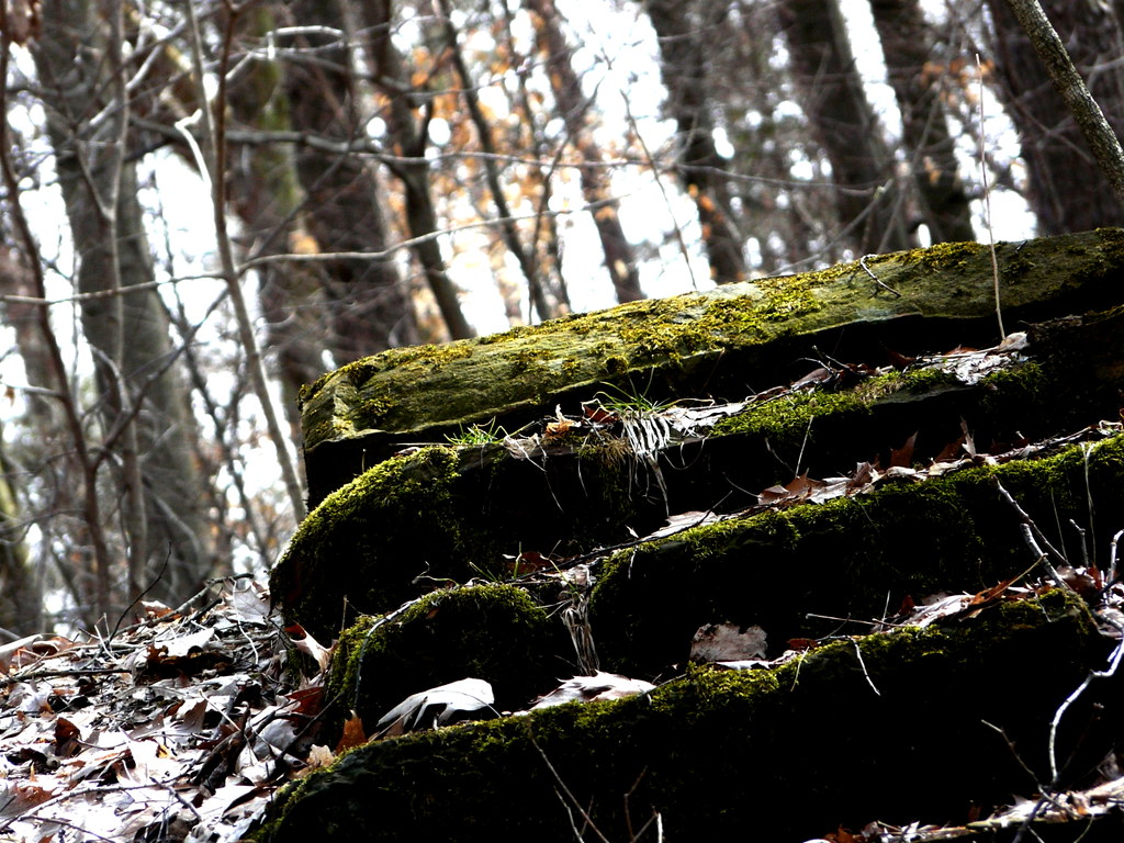 Mohican Mountain Bike TrailHiking · ~1h 7m drivePhoto: tootao, CC BY 2.0 (via Flickr)
- Mohican Mountain Bike Trail (Shortcut)Hiking · ~1h 7m drivePhoto: tootao, CC BY 2.0 (via Flickr)
- Buckeye Trail (Massillon)Hiking · ~16 min drive
- Mohican Mountain Bike TrailHiking · ~1h 5m drive
- Deer TrailHiking · ~39 min drive
- Conservation LoopHiking · Next door
- Sippo Valley TrailHiking · ~36 min drive
- North Rim TrailHiking · ~1h 5m drive
- Maple TrailHiking · Next door
- Buckeye Trail (Akron)Hiking · ~39 min drive
Best time to visit Preserve Loop
Best months: June–October. Best months have typical highs of 55–85 °F, lows of 30 °F or warmer (32 °F where the station doesn't record snow), at most one snowy day and no more than 12 wet days.
Jan
36° / 20°
13 wet
Feb
39° / 20°
11 wet
Mar
49° / 28°
13 wet
Apr
62° / 37°
14 wet
May
72° / 48°
14 wet
Jun
80° / 57°
12 wet
Jul
84° / 62°
12 wet
Aug
83° / 59°
10 wet
Sep
76° / 52°
10 wet
Oct
64° / 41°
11 wet
Nov
52° / 32°
12 wet
Dec
41° / 25°
13 wet
Typical high / low (°F) and days with rain or snow, 1991–2020. Measured at New Philadelphia, OH, 6.2 mi away at 925 ft. This station doesn't record snowfall. Source: NOAA NCEI U.S. Climate Normals 1991–2020.
Map and trail data © OpenStreetMap contributors
