Paw Paw Trail
- 1.4 mi
- loop
- 325 ft
- climb
- 981 ft
- high point
- Loop
- route
- Apr–Nov
- best months
Paw Paw Trail is a 1.4-mile loop in southern Ohio, about 1.8 miles from the town of Tucson. The trail rises from a low point of 729 feet to a high of 981 feet, with a total elevation gain of 325 feet. The climb is front-loaded, and the steepest stretch comes early, at about 0.09 miles in, with a grade of 13 percent. The route is rated easy, and the round trip takes about half a day. Late spring and early fall are the most comfortable times to go. Typical averages from a nearby weather station in Chillicothe run to highs around 74°F in May and 79°F in September, while July and August average highs near 85°F. That station sits about 330 feet lower than the trail's high point, so temperatures on the higher ground run a little cooler. The Field and Wetland Trail starts just 0.1 mile away. Walnut Creek, a canoeing spot, is about 1.8 miles off. Ross Lake Shoreline Trail and Rocky Knob are both roughly 4 miles away.
- Field and Wetland TrailHiking0.1 mi
- Walnut CreekCanoeing1.8 mi
- Ross Lake Shoreline TrailHiking3.8 mi
- Sand HillRock climbing4.2 mi
- Rocky KnobHiking4.2 mi
- The PitRock climbing4.2 mi
- Great Seal State ParkRock climbing4.6 mi
- Tar Hollow Horse CampCamping5.5 mi
Source: Roamze catalog (indexable pages within 10 miles, PostGIS distance)
 Logan Backpack Trail - South LoopHiking · ~8 min drivePhoto: Wayne National Forest, CC BY 2.0 (via Wikimedia Commons)
- Logan Backpack Trail - Dullen LoopHiking · ~11 min drivePhoto: Wayne National Forest, CC BY 2.0 (via Wikimedia Commons)
- Buckeye TrailHiking · ~20 min drive
- Sand HillHiking · ~7 min drive
 Great Circle TrailHiking · ~12 min drivePhoto: karen's archaeology stream, CC BY-SA 2.0 (via Flickr)
- The CellarHiking · ~8 min drive
- Hopetown Earthworks TrailHiking · ~12 min drivePhoto: karen's archaeology stream, CC BY-SA 2.0 (via Flickr)
- Bald Knob TrailHiking · ~8 min drive
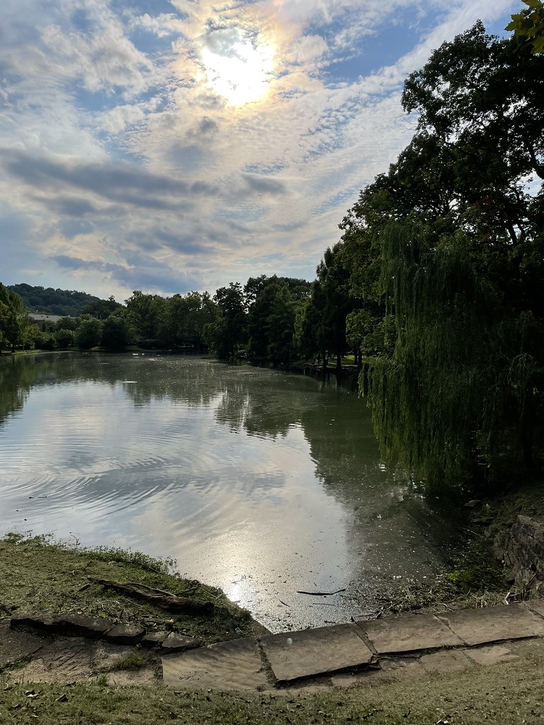 Goldie Gunlock TrailHiking · ~12 min drivePhoto: Pam_Broviak, Public Domain Dedication (CC0) (via Flickr)
- Logan Backpack Trail - North LoopHiking · ~9 min drive
Best time to visit Paw Paw Trail
Best months: April–November. Best months have typical highs of 55–85 °F, lows of 30 °F or warmer (32 °F where the station doesn't record snow), at most one snowy day and no more than 12 wet days.
Jan
39° / 21°
Feb
43° / 24°
Mar
53° / 31°
Apr
66° / 41°
May
74° / 52°
Jun
83° / 61°
Jul
85° / 64°
Aug
85° / 62°
Sep
79° / 54°
Oct
67° / 43°
Nov
55° / 34°
Dec
44° / 26°
Typical high / low (°F) and days with rain or snow, 1991–2020. Measured at Chillicothe Mound City, OH, 8.2 mi away at 650 ft. This station doesn't record snowfall. Source: NOAA NCEI U.S. Climate Normals 1991–2020.
Map and trail data © OpenStreetMap contributors
