Oak Trail
- 0.8 mi
- one way
- 95 ft
- climb
- 1,069 ft
- high point
- Point to point
- route
- Apr–Oct
- best months
Oak Trail is a short, easy hike in Ohio, about 0.8 miles from the town of Colfax. The route is a point-to-point walk of roughly 0.8 miles, with a low point of 968 feet and a high of 1069 feet. The climb is gentle, with a total gain of 95 feet and a steepest stretch of about 7% at roughly half a mile in. The trail is a quick outing, and the weather is most comfortable in late spring and early fall. Typical averages from a nearby weather station in Lancaster show May highs around 74°F and September highs around 78°F, with October cooling to about 66°F. The trail is not a place for dogs, bikes or horses. The Connector and Hickory Trail both lie about 0.4 miles away, and Little Rush Creek offers canoeing about 4.6 miles off. Climbers can find Junkyard Wall about 6 miles away.
Best time to go · Apr–Oct
Best time to visit Oak Trail
Best months: April–October. Best months have typical highs of 55–85 °F, lows of 30 °F or warmer (32 °F where the station doesn't record snow), at most one snowy day and no more than 12 wet days.
Jan
37° / 22°
10 wet
Feb
41° / 24°
10 wet
Mar
52° / 32°
11 wet
Apr
65° / 41°
11 wet
May
74° / 52°
12 wet
Jun
82° / 61°
10 wet
Jul
85° / 65°
10 wet
Aug
84° / 63°
9 wet
Sep
78° / 55°
8 wet
Oct
66° / 44°
9 wet
Nov
53° / 34°
9 wet
Dec
42° / 27°
10 wet
Typical high / low (°F) and days with rain or snow, 1991–2020. Measured at Lancaster, OH, 6.6 mi away at 827 ft. This station doesn't record snowfall. Source: NOAA NCEI U.S. Climate Normals 1991–2020.
Keep exploring — more trails worth the drive
 Photo: daveynin, CC BY 2.0 (via Flickr)
Rock Shelter Trail
~21 min drive
0.49-mile loop in Ohio with 82 ft gain and 145 ft loss.
HIKE
Cemetery Ridge Trail
~21 min drive
4.88-mile out-and-back hike in Ohio with 1,087 ft elevation gain
HIKE
Chestnut Trail
~22 min drive
4.16-mile out-and-back trail in Ohio with 1,127 ft elevation gain.
HIKE
Buckeye Trail (on-road)
~26 min drive
125-mile point-to-point trail in Ohio with 9,560 ft elevation gain.
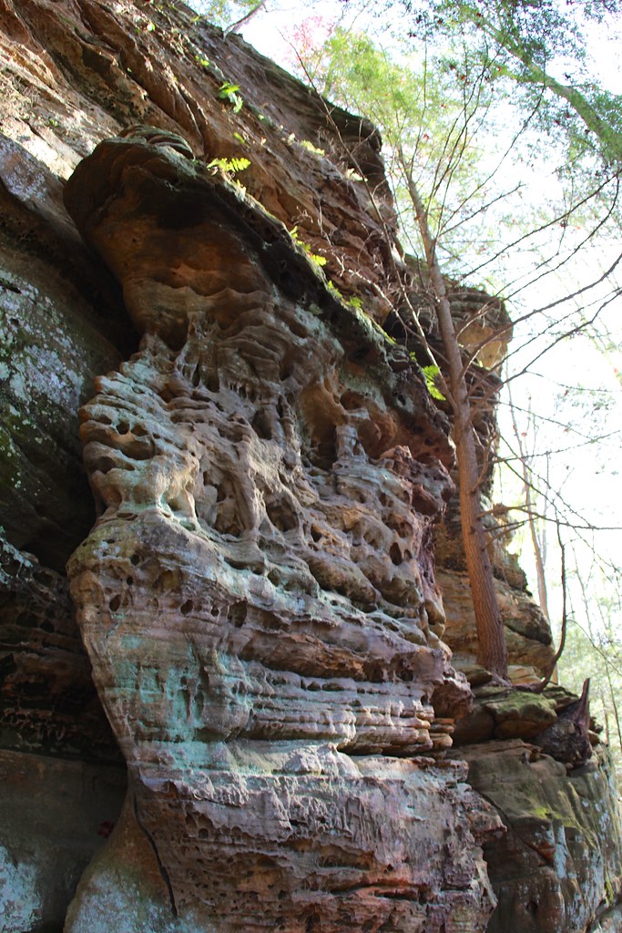 Photo: daveynin, CC BY 2.0 (via Flickr)
Cantwell Rim Trail
~25 min drive
0.58-mile lollipop trail in Ohio with 172 ft elevation gain.
HIKE
Stone Church Main Loop
~24 min drive
17.57-mile loop trail in Ohio with 1,517 ft elevation gain/loss.
HIKE
Nct Athens West
~25 min drive
7.87-mile out-and-back trail in Ohio with 753 ft elevation gain.
HIKE
Hickory Trail
Next door
Hickory Trail is a 0.99-mile point-to-point trail in Ohio with 153 ft of elevation gain.
HIKE
New Trail
~25 min drive
8.62-mile out-and-back trail in Ohio with 1,228 ft elevation gain and loss.
HIKE
Connector
Next door
0.05-mile point-to-point trail in Ohio with 42 ft gain.
Map and trail data © OpenStreetMap contributors
