Inman Trail
 Photo: loganrickert, CC BY 2.0 (via Flickr)
- 1.0 mi
- one way
- 132 ft
- climb
- 981 ft
- high point
- Point to point
- route
- Jul–Oct
- best months
Inman Trail is an easy hike in southern Ohio, about a mile long and rising about 130 feet from a low point near 900 feet to a high of about 980 feet. It is a short outing, roughly 10 minutes on foot, and sits about half a mile from the town of Yellow Springs, which makes it an easy stop to fit into a day in town. The trail is a point-to-point route with a gentle climb. The steepest stretch comes near the end, about 9 percent grade, and the total drop over the course is about the same as the gain. Bikes are not allowed. Spring and fall are the most comfortable times to go. Typical averages from a nearby weather station in Springfield put May highs around 73°F and October highs around 65°F, with July peaking near 84°F. The Pine Forest Trail starts just 0.1 mile away, and the North Rim Trail is about 1.5 miles off. Climbers can find the John Bryan State Park area and the Pink Area roughly 2 miles away.
- Pine Forest TrailHikingPhoto: loganrickert, CC BY 2.0 (via Flickr)0.1 mi
 North Rim TrailHikingPhoto: davidwilson1949, CC BY 2.0 (via Flickr)1.5 mi
- Bouldering AreasRock climbing1.7 mi
- John Bryan State ParkRock climbing1.8 mi
- Pink AreaRock climbing1.8 mi
 South Gorge TrailHikingPhoto: davidwilson1949, CC BY 2.0 (via Flickr)2.4 mi
- John L. Rich TrailHikingPhoto: davidwilson1949, CC BY 2.0 (via Flickr)2.4 mi
 Little Miami RiverCanoeingPhoto: Moofpocket, CC BY 2.5 (via Wikimedia Commons)9.2 mi
Source: Roamze catalog (indexable pages within 10 miles, PostGIS distance)
- Pine Forest TrailHiking · Next doorPhoto: loganrickert, CC BY 2.0 (via Flickr)
- North Rim TrailHiking · ~3 min drivePhoto: davidwilson1949, CC BY 2.0 (via Flickr)
- Pittsburgh-Cincinnati Stagecoach TrailHiking · ~4 min drivePhoto: davidwilson1949, CC BY 2.0 (via Flickr)
- South Gorge TrailHiking · ~4 min drivePhoto: davidwilson1949, CC BY 2.0 (via Flickr)
- John L. Rich TrailHiking · ~4 min drivePhoto: davidwilson1949, CC BY 2.0 (via Flickr)
 Orton TrailHiking · ~4 min drivePhoto: rklopfer, CC BY-SA 2.0 (via Flickr)
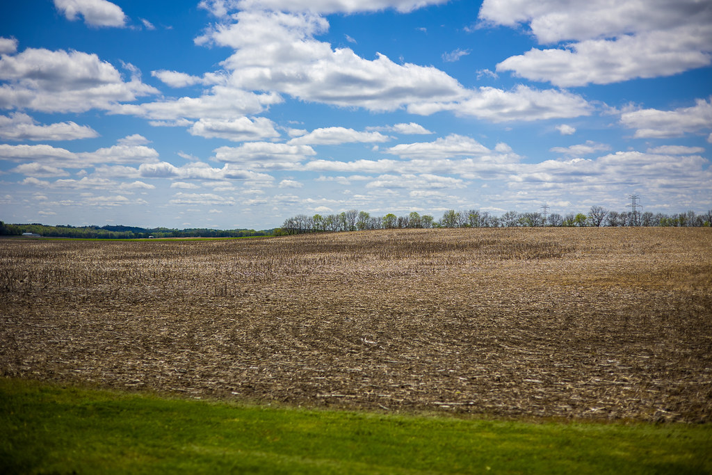 Blackfish TrailHiking · ~10 min drivePhoto: loganrickert, CC BY 2.0 (via Flickr)
- Tecumseh Preserve TrailHiking · ~10 min drivePhoto: loganrickert, CC BY 2.0 (via Flickr)
 Vista LoopHiking · ~19 min drivePhoto: wrightbrosfan, CC BY 2.0 (via Flickr)
- River LoopHiking · ~21 min drivePhoto: wrightbrosfan, CC BY 2.0 (via Flickr)
Best time to visit Inman Trail
Best months: July–October. Best months have typical highs of 55–85 °F, lows of 30 °F or warmer (32 °F where the station doesn't record snow), at most one snowy day and no more than 12 wet days.
Jan
36° / 19°
12 wet
Feb
40° / 20°
9 wet
Mar
50° / 28°
11 wet
Apr
63° / 38°
13 wet
May
73° / 49°
14 wet
Jun
81° / 59°
13 wet
Jul
84° / 62°
11 wet
Aug
83° / 60°
9 wet
Sep
78° / 52°
9 wet
Oct
65° / 41°
10 wet
Nov
52° / 31°
10 wet
Dec
41° / 24°
11 wet
Typical high / low (°F) and days with rain or snow, 1991–2020. Measured at Springfield Wtp, OH, 12.6 mi away at 951 ft. This station doesn't record snowfall. Source: NOAA NCEI U.S. Climate Normals 1991–2020.

Map and trail data © OpenStreetMap contributors
