Hawthorne Trail
- 0.7 mi
- loop
- 152 ft
- climb
- 1,246 ft
- high point
- Loop
- route
- Apr–Oct
- best months
Hawthorne Trail is a short, easy loop in Barkcamp State Park in Ohio, managed by the State Department of Natural Resources. The trail is 0.66 miles long and rises about 152 feet from its starting point, with the high point at 1,246 feet and the low at 1,183 feet. The climb is gentle overall, with the steepest stretch at about 0.46 miles in, where the grade reaches 8 percent. Late spring and early fall are the most comfortable times to go. Typical averages from a nearby weather station in Barnesville show May highs around 72°F and September highs around 76°F, with July the warmest month at about 83°F. The trail takes about half an hour to complete. Equestrian Camp Loop, a campground, sits just 0.1 mile away. Stillwater Creek, a canoeing spot, is about 6 miles off.
Source: Roamze catalog (indexable pages within 10 miles, PostGIS distance)
 Lamping HomesteadHiking · ~51 min drivePhoto: Wayne National Forest, Public Domain Mark (via Flickr)
 Lamping Short LoopHiking · ~51 min drivePhoto: Wayne National Forest, Public Domain Mark (via Flickr)
- West Rim TrailHiking · ~33 min drive
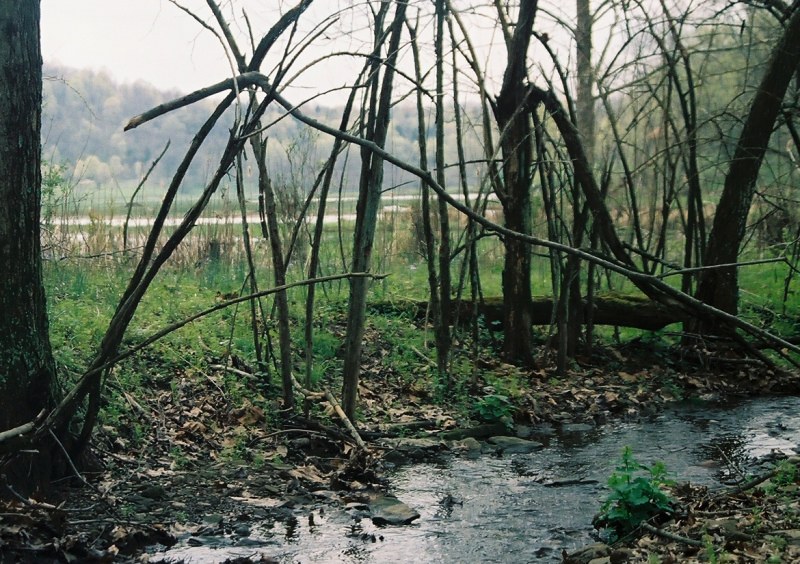 Box Turtle TrailHiking · ~56 min drivePhoto: crcollins, CC BY-SA 2.0 (via Flickr)
- Deer TrailHiking · ~37 min drive
- East Rim TrailHiking · ~33 min drive
- Kiedaisch Wall TrailHiking · ~44 min drive
- Blue TrailHiking · ~35 min drive
- Plainview GhostHiking · ~46 min drive
- Beall Farm TrailHiking · ~35 min drive
Best time to visit Hawthorne Trail
Best months: April–October. Best months have typical highs of 55–85 °F, lows of 30 °F or warmer (32 °F where the station doesn't record snow), at most one snowy day and no more than 12 wet days.
Jan
35° / 21°
Feb
39° / 22°
Mar
49° / 29°
Apr
62° / 39°
May
72° / 49°
Jun
79° / 59°
Jul
83° / 63°
Aug
82° / 60°
Sep
76° / 54°
Oct
64° / 44°
Nov
51° / 34°
Dec
41° / 26°
Typical high / low (°F) and days with rain or snow, 1991–2020. Measured at Barnesville, OH, 9.2 mi away at 1,280 ft. This station doesn't record snowfall. Source: NOAA NCEI U.S. Climate Normals 1991–2020.
Map and trail data © OpenStreetMap contributors
