North Achenbach Trail
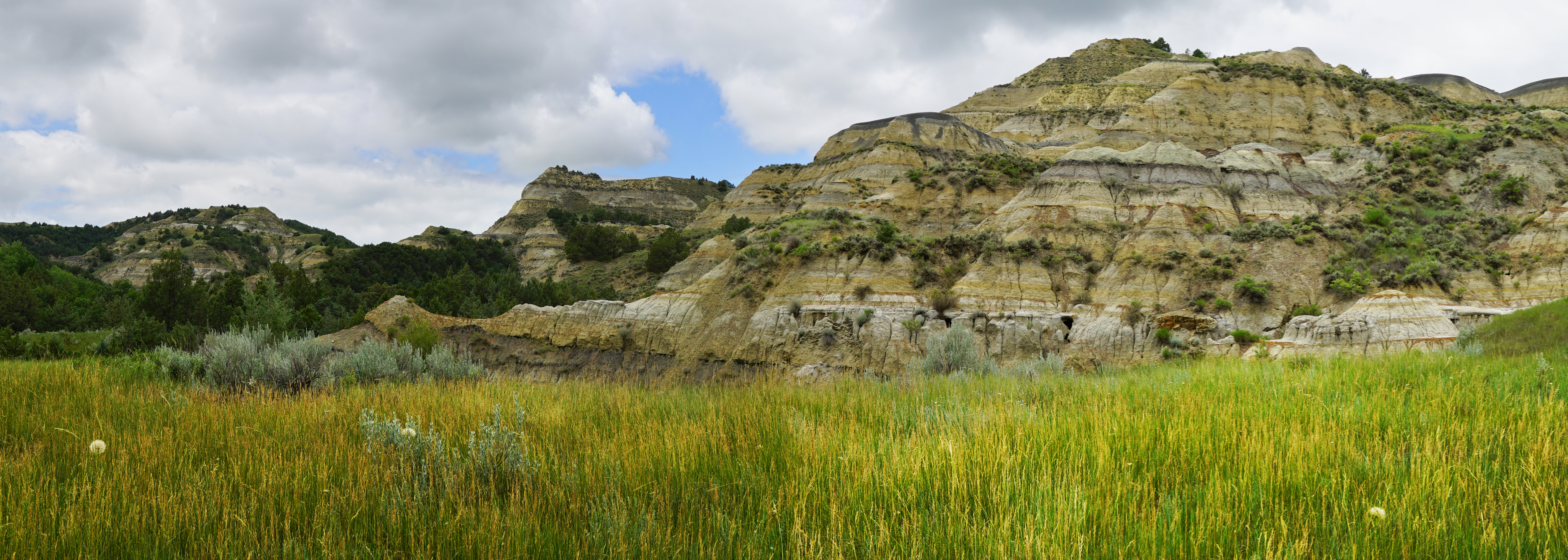
 Photo: Seth Tisue, CC BY-SA 2.0 (via Flickr)
- 5.5 mi
- round trip
- 1,889 ft
- climb
- 2,397 ft
- high point
- Out and back
- route
- May–Sep
- best months
Is North Achenbach Trail open right now?
No closures listed
The National Park Service lists no closures for Theodore Roosevelt National Park.
As of · Source: NPS · Theodore Roosevelt National Park. Agencies don't list every closure — check before you go.
North Achenbach Trail is a hard hike in Theodore Roosevelt National Park, within the Theodore Roosevelt Wilderness in North Dakota. The route is an out-and-back of about 11 miles, with a total elevation gain of 1,889 feet. The trail starts at about 2,339 feet and reaches a high point of 2,397 feet, with the steepest stretch at about 4.9 miles in, where the grade reaches 27%. The National Park Service manages the land, and a fee is charged for the visit. Summer is the most comfortable time to go. Typical averages from a nearby weather station in Watford City show July highs around 85°F with lows near 56°F, while winter highs stay in the 20s. The Caprock Coulee Trail lies just 0.1 mile away, and the Caprock Coulee Trailhead is about 0.7 mile off. The Buckhorn Trail and the Achenbach Trail are both within about 3.5 miles.
- Caprock Coulee TrailHikingPhoto: Seth Tisue, CC BY-SA 2.0 (via Flickr)0.1 mi
 Caprock Coulee TrailheadHiking0.7 mi
 Buckhorn TrailHikingPhoto: MDuchek, CC BY-SA 3.0 (via Wikimedia Commons)2.9 mi
 Achenbach TrailHikingPhoto: Seth Tisue, CC BY-SA 2.0 (via Flickr)3.4 mi
- WolfHiking4.6 mi
- Ccc CampgroundCamping4.7 mi
- Long XHiking4.9 mi
- Bennett CampgroundCamping8.2 mi
Source: Roamze catalog (indexable pages within 10 miles, PostGIS distance)
 Caprock Coulee TrailHiking · Next doorPhoto: daveynin, CC BY 2.0 (via Flickr)
 Little Missouri Nature TrailHiking · ~3 min drivePhoto: daveynin, CC BY 2.0 (via Flickr)
- Buckhorn TrailHiking · ~5 min drivePhoto: MDuchek, CC BY-SA 3.0 (via Wikimedia Commons)
- Achenbach TrailHiking · ~6 min drivePhoto: Seth Tisue, CC BY-SA 2.0 (via Flickr)
- Caprock Coulee TrailheadHiking · ~1 min drive
 Summit ViewpointHiking · ~13 min drivePhoto: Chad Davis., CC BY 2.0 (via Flickr)
- WolfHiking · ~8 min drive
- EN (Eagle's Nest) TrailHiking · ~51 min drive
- Ice CavesHiking · ~35 min drive
- Elkhorn Ranch TrailheadHiking · ~49 min drive
Best time to visit North Achenbach Trail
Best months: May–September. Best months have typical highs of 55–85 °F, lows of 30 °F or warmer (32 °F where the station doesn't record snow), at most one snowy day and no more than 12 wet days.
Jan
24° / 2°
Feb
30° / 6°
Mar
42° / 18°
Apr
56° / 30°
May
67° / 40°
Jun
76° / 50°
Jul
85° / 56°
Aug
84° / 54°
Sep
74° / 43°
Oct
57° / 31°
Nov
41° / 18°
Dec
28° / 6°
Typical high / low (°F) and days with rain or snow, 1991–2020. Measured at Watford City 14s, ND, 5.2 mi away at 2,027 ft. This station doesn't record snowfall. Source: NOAA NCEI U.S. Climate Normals 1991–2020.
Map and trail data © OpenStreetMap contributors
