Mountain · 1 route
Burnt Mountain
3,008 ft · North Carolina
- Summit
- 3,008 ft
- Routes
- 1 way up
Route up Burnt Mountain
About Burnt Mountain
Burnt Mountain is a summit in western North Carolina, about 4 miles from the community of Caesars Head, South Carolina, just across the state line. The nearest weather station, at Caesars Head, sits at a similar elevation and gives a good sense of conditions. Its typical averages point to fall as the most comfortable season, with September highs around 71°F and October highs near 63°F, and October also has the fewest wet days of the year. Summers there run warmer and wetter, with July averaging 16 wet days. The Burnt Mountain Trail starts about half a mile away. The Little River, a canoeing stream, runs at a similar distance. Shoals Trail and Big Rock Trail, both within a mile, add more hiking close by.
Forecast on Burnt Mountain
Daily highs and lows, wind and the chance of precipitation at the summit and route start for the next 7 days, from the Open-Meteo model.
Questions about Burnt Mountain
How tall is Burnt Mountain?
3,008 ft (917 m).
How many routes go to the summit of Burnt Mountain?
One: Burnt Mountain Trail.
Mountains nearby
- Mine Mountain3,101 ft · North Carolina1 route1.3 mi away
- Cedar Rock3,080 ft · North Carolina2 routes1.3 mi away
- Sheep Mountain2,861 ft · North Carolina1 route2.2 mi away
- Little Pinnacle Mountain2,647 ft · South Carolina1 route4.2 mi away
- Hickory Mountain3,004 ft · North Carolina1 route4.5 mi away
- Stone Mountain3,618 ft · North Carolina1 route5.7 mi away
Facts about this place
When to go
Best time to go: Apr–Oct. The mildest months here, with typical highs of 63–78°F and lows of 44–64°F.
Typical monthly averages (not a forecast) from the Caesars Head, SC weather station, 3.7 mi away. High / low in °F.
- Jan45° high28° low
- Feb48° high30° low
- Mar56° high37° low
- Apr65° high44° low
- May70° high53° low
- Jun75° high60° low
- Jul78° high64° low
- Aug76° high63° low
- Sep71° high58° low
- Oct63° high48° low
- Nov55° high38° low
- Dec48° high32° low
Nearby
- Little RiverCanoeing0.5 mi
- Burnt Mountain TrailHiking0.5 mi
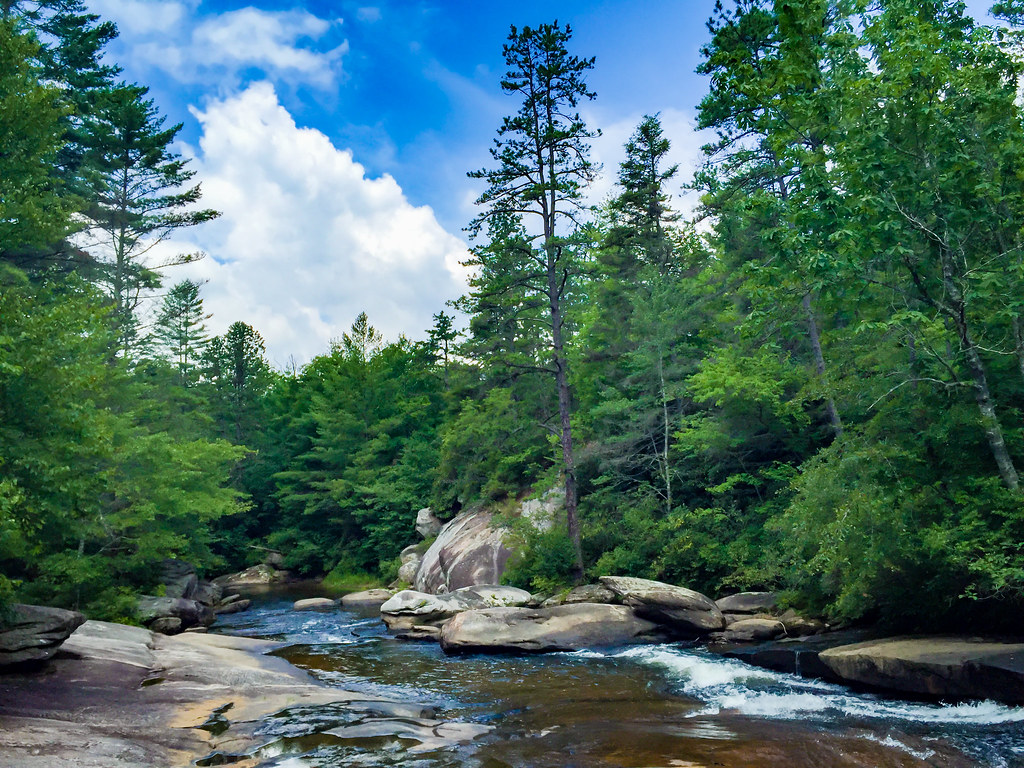 Shoals TrailHikingPhoto: Osajus Photography, CC BY 2.0 (via Flickr)0.7 mi
- Big Rock TrailHiking0.8 mi
- Alliteration WallRock climbing5.7 mi
- Crab CreekCanoeing5.8 mi
- Watergroove WallRock climbing8.3 mi
- Sycamore Flats Picnic ShelterCamping8.9 mi
Source: Roamze catalog (indexable pages within 10 miles, PostGIS distance)
Best time to visit Burnt Mountain
Best months: March–May and September–November. Best months have typical highs of 55–85 °F, lows of 30 °F or warmer (32 °F where the station doesn't record snow), at most one snowy day and no more than 12 wet days.
Jan
45° / 28°
10 wet
Feb
48° / 30°
10 wet
Mar
56° / 37°
11 wet
Apr
65° / 44°
11 wet
May
70° / 53°
12 wet
Jun
75° / 60°
14 wet
Jul
78° / 64°
16 wet
Aug
76° / 63°
15 wet
Sep
71° / 58°
10 wet
Oct
63° / 48°
9 wet
Nov
55° / 38°
9 wet
Dec
48° / 32°
10 wet
Typical high / low (°F) and days with rain or snow, 1991–2020. Measured at Caesars Head, SC, 3.7 mi away at 3,200 ft. This station doesn't record snowfall. Source: NOAA NCEI U.S. Climate Normals 1991–2020.
