Stewarts Creek
- 10.4 mi
- distance
- 105 ft
- high point
- Mar–Jun, Sep–Dec
- best months
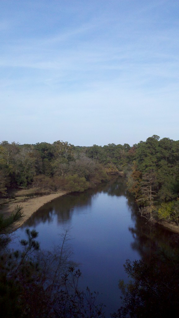
Stewarts Creek is a canoeing route in western North Carolina, about 4.7 miles from the town of Carroll. It is a paddling waterway rather than a trail, so there is no climb to plan around. The creek sits among a cluster of short paddling routes in the area, making it an easy addition to a day on the water. For comfortable weather, aim for late spring or early fall. Typical averages from a nearby weather station show May highs around 78°F and October highs around 72°F, with summer running hotter and wetter, peaking near 88°F in July. Two other paddling waters lie within about 10 miles. Six Runs Creek is 8.5 miles away, and Maxwell Creek is 9.8 miles away.
Source: Roamze catalog (indexable pages within 10 miles, PostGIS distance)
 Black RiverCanoeing · ~52 min drivePhoto: Greenlindae, CC0 (via Wikimedia Commons)
- State Park Canoe Tie-UoBoat launch · ~46 min drive
- Six Runs CreekCanoeing · ~15 min drive
- Cliffs of the Neusse Canoe LaunchBoat launch · ~47 min drive
- Maxwell CreekCanoeing · ~17 min drive
- Prices landing boating access areaBoat launch · ~51 min drive
- Rockfish CreekCanoeing · ~23 min drive
- Goldsborough Boating Access AreaBoat launch · ~52 min drive
- Stocking Head CreekCanoeing · ~27 min drive
- Smithfield BAABoat launch · ~1h 13m drive
Best time to visit Stewarts Creek
Best months: March–June and September–December. Best months have typical highs of 55–85 °F, lows of 30 °F or warmer (32 °F where the station doesn't record snow), at most one snowy day and no more than 12 wet days.
Jan
52° / 29°
7 wet
Feb
54° / 31°
6 wet
Mar
62° / 37°
7 wet
Apr
71° / 46°
7 wet
May
78° / 55°
7 wet
Jun
85° / 63°
8 wet
Jul
88° / 68°
9 wet
Aug
86° / 66°
9 wet
Sep
81° / 61°
7 wet
Oct
72° / 48°
6 wet
Nov
62° / 38°
6 wet
Dec
55° / 33°
7 wet
Typical high / low (°F) and days with rain or snow, 1991–2020. Measured at Warsaw 5 E, NC, 10.5 mi away at 110 ft. Source: NOAA NCEI U.S. Climate Normals 1991–2020.