Rutledge Lake Rv Park
Campground
Campground · 2.0 mi from the trail
Clear today
Weather is good · OpenWeather · checked just now
Glen Bridge River Access is a boat launch in Buncombe County, North Carolina, set within Buncombe County Open Space - Glen Bridge River and Picnic Park. The nearest town is Avery Creek, about 1.3 miles away. For comfortable weather, aim for late spring or early fall. Typical averages from a nearby weather station in Fletcher show May highs around 75°F and September highs around 78°F, with October bringing the fewest wet days of the year at about eight. The launch makes a good base for exploring the surrounding area. The Mountains-to-Sea Trail passes about 3.2 miles away, and the Pisgah Forest Trail is about 3.9 miles off. Lake Powhatan Glamping, a lake fishing spot, lies about 4.7 miles away, and Hendersonville Reservoir Rd Roadside Campsites offers camping about 5.9 miles from the launch.
Rutledge Lake Rv Park
Campground
 If it rainsMx. Granger, CC0 · Wikimedia Commons
Places © OpenStreetMap contributors, Places © Overture Maps Foundation · Photos: Mx. Granger, CC0 (commons)
More in Hendersonville Pisgah Forest TrailHikingPhoto: w_lemay, CC BY-SA 2.0 (via Flickr)3.9 mi
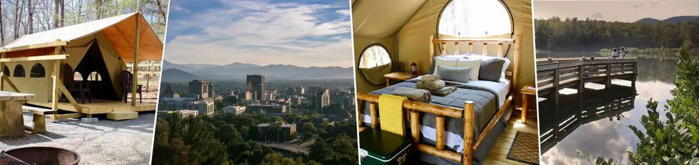 Lake Powhatan GlampingLake fishing4.7 mi
 Hendersonville Reservoir Rd Roadside CampsitesCampingPhoto: w_lemay, CC BY-SA 2.0 (via Wikimedia Commons)5.9 mi
Source: Roamze catalog (indexable pages within 10 miles, PostGIS distance)
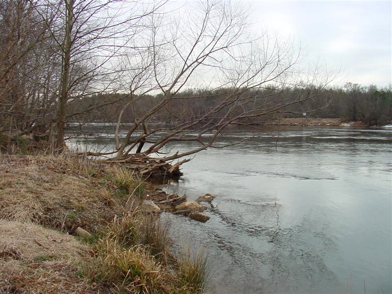 Broad RiverCanoeing · ~31 min drivePhoto: unknown/w:NOAA, Public domain (via Wikimedia Commons)
 Pigeon RiverCanoeing · ~32 min drivePhoto: ChristopherM, CC BY-SA 3.0 (via Wikimedia Commons)
Best months: March–June and August–November. Best months have typical highs of 55–85 °F, lows of 30 °F or warmer (32 °F where the station doesn't record snow), at most one snowy day and no more than 12 wet days.
Jan
47° / 25°
9 wet
Feb
51° / 28°
9 wet
Mar
58° / 34°
11 wet
Apr
68° / 42°
10 wet
May
75° / 51°
11 wet
Jun
81° / 59°
12 wet
Jul
84° / 63°
13 wet
Aug
83° / 62°
12 wet
Sep
78° / 55°
9 wet
Oct
69° / 43°
8 wet
Nov
58° / 33°
8 wet
Dec
50° / 28°
9 wet
Typical high / low (°F) and days with rain or snow, 1991–2020. Measured at Fletcher 3 W, NC, 1.7 mi away at 2,070 ft. This station doesn't record snowfall. Source: NOAA NCEI U.S. Climate Normals 1991–2020.
Map and trail data © OpenStreetMap contributors
