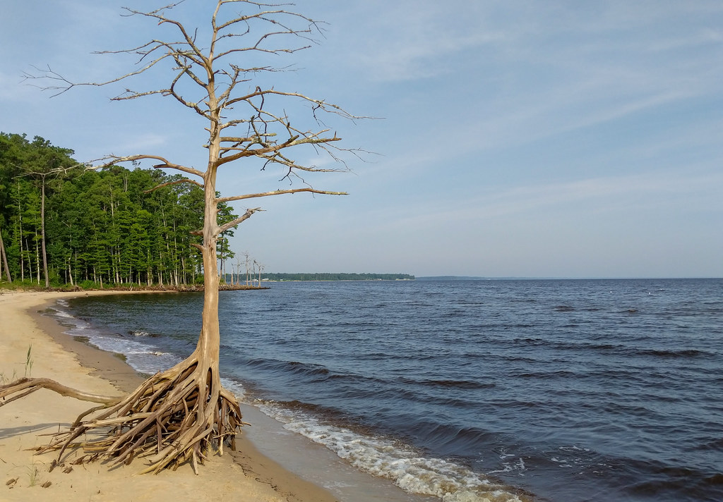
Loblolly Loop
- 1.8 mi
- loop
- Loop
- route
- Sep–May
- best months
Is Loblolly Loop open right now?
Closure in the area
There's a closure order in National Forests in North Carolina. It doesn't name Loblolly Loop, so check the source for the area it covers (2 listed).
Maple Sally Road Closure
Agency closure covering National Forests in North Carolina · USFS · National Forests in North Carolina
Table Rock Road construction starts Nov. 2, 2026
Agency closure covering National Forests in North Carolina · USFS · National Forests in North Carolina
Temporary Closure - The Elk Falls Trail
Agency alert covering National Forests in North Carolina · USFS · National Forests in North Carolina
Rainbow Springs Road closed for reconstruction
Agency alert covering National Forests in North Carolina · USFS · National Forests in North Carolina
Siddie Fields Day Use Area closed for improvements
Agency alert covering National Forests in North Carolina · USFS · National Forests in North Carolina
As of · Source: USFS · National Forests in North Carolina. Agencies don't list every closure — check before you go.
Loblolly Loop is a 1.76-mile loop trail in North Carolina managed by the Forest Service. The trail is not currently open for mountain biking.
Best time to visit Loblolly Loop
Best months: September–May. Best months have typical highs of 55–85 °F, lows of 30 °F or warmer (32 °F where the station doesn't record snow), at most one snowy day and no more than 12 wet days.
Jan
57° / 36°
11 wet
Feb
60° / 38°
10 wet
Mar
66° / 43°
10 wet
Apr
74° / 52°
9 wet
May
81° / 60°
10 wet
Jun
87° / 69°
11 wet
Jul
90° / 73°
13 wet
Aug
89° / 72°
13 wet
Sep
84° / 68°
11 wet
Oct
76° / 56°
9 wet
Nov
67° / 46°
9 wet
Dec
60° / 40°
11 wet
Typical high / low (°F) and days with rain or snow, 1991–2020. Measured at Cherry Point Mcas, NC, 6.4 mi away at 29 ft. We don't have this place's elevation, so higher spots nearby can run cooler. This station doesn't record snowfall. Source: NOAA NCEI U.S. Climate Normals 1991–2020.