Tech Loop
- 1.5 mi
- loop
- 154 ft
- climb
- 668 ft
- high point
- Loop
- route
- Feb–May, Sep–Dec
- best months
Tech Loop is a short, easy loop in Charlotte, North Carolina, set within the City of Charlotte Open Space. The route is about 1.5 miles long, with a total elevation gain of 154 feet, and it makes a quick outing for anyone looking to get outside close to town. The loop starts and ends at nearly the same elevation, around 624 feet, and the climb is gentle, with the steepest stretch at about 0.43 miles in. Spring and fall are the most comfortable times to go. Typical averages from a nearby weather station show October highs around 73°F with lows near 50°F, and April is similar, while July highs reach about 90°F. The trip takes about half an hour, so it works well as a stop on the way to something else. Farmbrook Loop and Little Sugar Creek are both about half a mile away, and Myers Park High School Cross Country Trail is roughly 1.7 miles off.
- Farmbrook LoopHiking0.5 mi
- Little Sugar CreekCanoeing0.5 mi
- Myers Park High School Cross Country TrailHiking1.7 mi
- Sugar CreekCanoeing3.5 mi
- McAlpine CreekCanoeing4.2 mi
- Pineville Hiking TrailHiking5.5 mi
- Evergreen TrailHiking5.8 mi
 Big Rock Nature PreserveRock climbingPhoto: Lordgilman, CC0 (via Wikimedia Commons)6.6 mi
Source: Roamze catalog (indexable pages within 10 miles, PostGIS distance)
 Creekside TrailHiking · ~16 min drivePhoto: chascow, CC BY 2.0 (via Flickr)
 Seven Oaks Preserve TrailHiking · ~19 min drivePhoto: chascow, CC BY 2.0 (via Flickr)
- Cedar Ridge TrailHiking · ~17 min drivePhoto: chascow, CC BY 2.0 (via Flickr)
- Pine Hollow TrailHiking · ~17 min drivePhoto: chascow, CC BY 2.0 (via Flickr)
 Four Seasons TrailHiking · ~17 min drivePhoto: johnmac19, CC BY 3.0 (via Wikimedia Commons)
- Cove TrailHiking · ~18 min drivePhoto: johnmac19, CC BY 3.0 (via Wikimedia Commons)
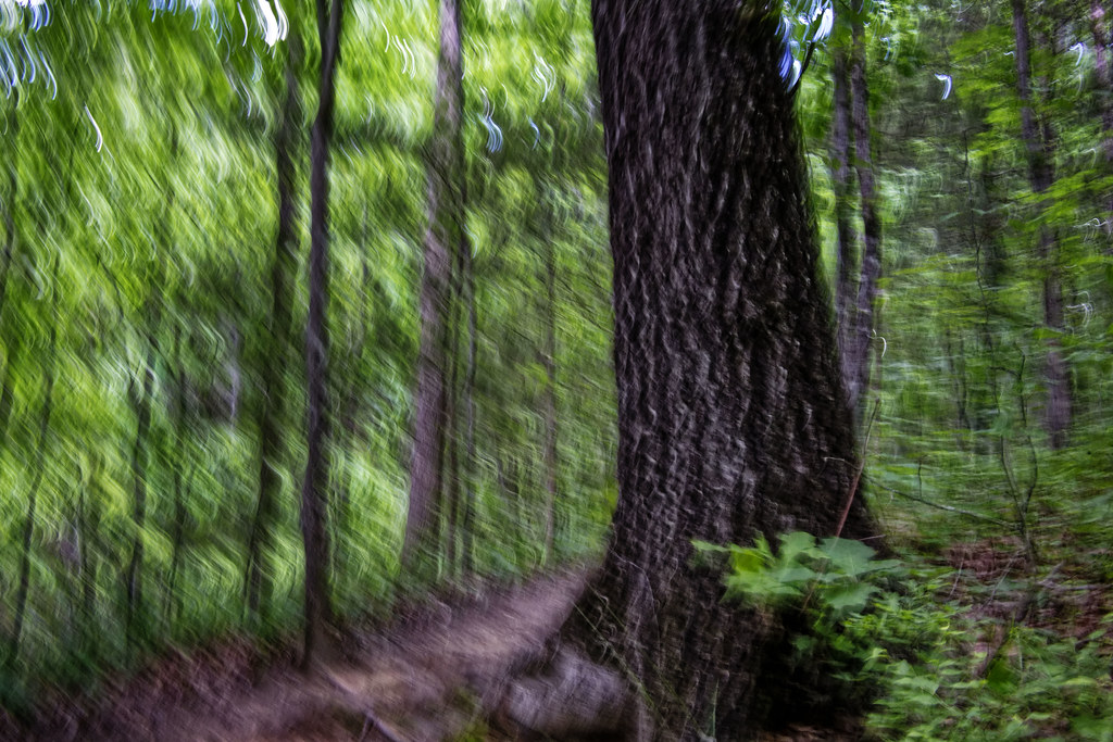 Chestnut TrailHiking · ~18 min drivePhoto: chascow, CC BY 2.0 (via Flickr)
- Kingfisher TrailHiking · ~18 min drivePhoto: johnmac19, CC BY 3.0 (via Wikimedia Commons)
 Dragonfly Pond TrailHiking · ~18 min drivePhoto: chascow, CC BY 2.0 (via Flickr)
 Umbrella Tree TrailHiking · ~19 min drivePhoto: chascow, CC BY 2.0 (via Flickr)
Best time to visit Tech Loop
Best months: February–May and September–December. Best months have typical highs of 55–85 °F, lows of 30 °F or warmer (32 °F where the station doesn't record snow), at most one snowy day and no more than 12 wet days.
Jan
52° / 32°
10 wet · 1 snow
Feb
57° / 35°
9 wet · 1 snow
Mar
64° / 41°
10 wet
Apr
73° / 49°
9 wet
May
80° / 58°
10 wet
Jun
87° / 66°
10 wet
Jul
90° / 70°
11 wet
Aug
89° / 69°
10 wet
Sep
83° / 63°
8 wet
Oct
73° / 50°
8 wet
Nov
63° / 40°
8 wet
Dec
55° / 35°
10 wet
Typical high / low (°F) and days with rain or snow, 1991–2020. Measured at Charlotte Douglas Ap, NC, 7.4 mi away at 728 ft. Source: NOAA NCEI U.S. Climate Normals 1991–2020.
Map and trail data © OpenStreetMap contributors
