Roanoke Canal Trail
- 0.7 mi
- round trip
- 190 ft
- climb
- 176 ft
- high point
- Out and back
- route
- Mar–Jun, Sep–Nov
- best months
The Roanoke Canal Trail is a short, easy walk of about 1.4 miles, set in the Roanoke Rapids area of North Carolina. It is a steady, low-key route, with a total elevation gain of about 190 feet over the course of the out-and-back, which makes for a total loss of the same when you return. The trail starts at an elevation of about 143 feet and reaches a high point of about 176 feet, with the steepest stretch coming around 0.4 miles in. The nearest town is Roanoke Rapids, about 1.2 miles away. Spring and fall are the most comfortable times to go. Typical averages from a nearby weather station in Roanoke Rapids run to highs around 70°F in April and 71°F in October, while July highs average about 89°F. The trip takes about half an hour, so it works well as a quick stop. For more time outdoors, the Roanoke River offers river fishing about 5.4 miles away, and Fountains Creek, a canoeing spot across the state line in Virginia, lies about 8.2 miles off.
Source: Roamze catalog (indexable pages within 10 miles, PostGIS distance)
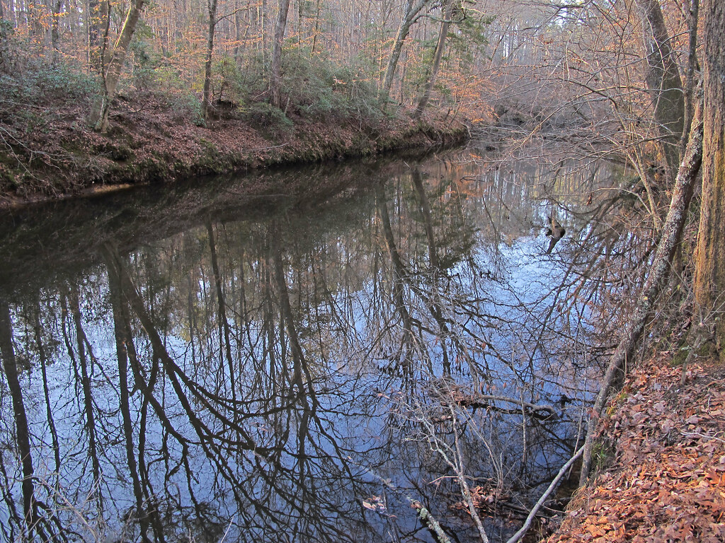
 Roanoke Canal TrailHiking · ~7 min drivePhoto: Prince Roy, CC BY 2.0 (via Flickr)
- Roanoke Canal TrailHiking · ~7 min drivePhoto: Prince Roy, CC BY 2.0 (via Flickr)
 Dam Site Loop TrailHiking · ~34 min drivePhoto: pmuellr, CC BY 2.0 (via Flickr)
- Panhandle Multi-use Trail LoopHiking · ~1h 20m drive
- Fishing Creek Loop TrailHiking · ~34 min drivePhoto: pmuellr, CC BY 2.0 (via Flickr)
- Beaver Pond TrailHiking · ~1h 22m drive
 Stream Loop TrailHiking · ~35 min drivePhoto: pmuellr, CC BY 2.0 (via Flickr)
- Summit Loop TrailHiking · ~35 min drivePhoto: pmuellr, CC BY 2.0 (via Flickr)
- Campground Loop TrailHiking · ~35 min drivePhoto: pmuellr, CC BY 2.0 (via Flickr)
 Bluff Loop TrailHiking · ~36 min drivePhoto: pmuellr, CC BY 2.0 (via Flickr)
Best time to visit Roanoke Canal Trail
Best months: March–June and September–November. Best months have typical highs of 55–85 °F, lows of 30 °F or warmer (32 °F where the station doesn't record snow), at most one snowy day and no more than 12 wet days.
Jan
49° / 30°
10 wet
Feb
53° / 32°
9 wet
Mar
60° / 37°
10 wet
Apr
70° / 46°
9 wet
May
78° / 57°
10 wet
Jun
85° / 65°
10 wet
Jul
89° / 70°
10 wet
Aug
87° / 68°
10 wet
Sep
82° / 62°
8 wet
Oct
71° / 50°
8 wet
Nov
61° / 40°
8 wet
Dec
53° / 34°
10 wet
Typical high / low (°F) and days with rain or snow, 1991–2020. Measured at Roanoke Rapids, NC, 0.9 mi away at 210 ft. This station doesn't record snowfall. Source: NOAA NCEI U.S. Climate Normals 1991–2020.
Map and trail data © OpenStreetMap contributors
