Roanoke Canal Trail
- 2.1 mi
- round trip
- 598 ft
- climb
- 134 ft
- high point
- Out and back
- route
- Mar–Jun, Sep–Nov
- best months
The Roanoke Canal Trail is an easy out-and-back hike in North Carolina, about 1.6 miles from the town of Roanoke Rapids. The route is roughly 4.3 miles long, with a total elevation gain of 598 feet and a loss of the same, so the climb is about 300 feet one way. The trail's highest point is 134 feet, and the steepest stretch comes at about 0.95 miles in, with a grade of 7 percent. Spring and fall are the most comfortable times to go. Typical averages from a nearby weather station in Roanoke Rapids show October highs around 71°F with lows near 50°F, and April highs around 70°F. July is the warmest month, with highs near 89°F. The trip takes about 1.5 hours. The Roanoke River, about 3 miles away, offers river fishing, and Marsh Swamp, about 8.4 miles away, is a canoeing spot.
Source: Roamze catalog (indexable pages within 10 miles, PostGIS distance)
 Roanoke Canal TrailHiking · ~3 min drivePhoto: Prince Roy, CC BY 2.0 (via Flickr)
- Roanoke Canal TrailHiking · ~3 min drivePhoto: Prince Roy, CC BY 2.0 (via Flickr)
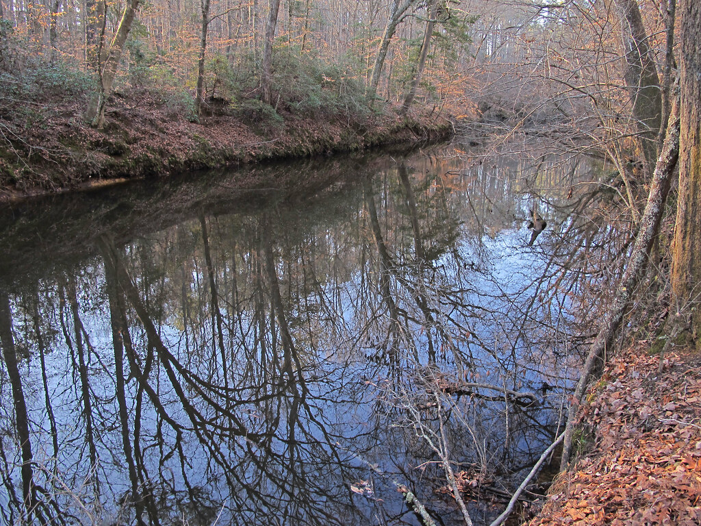 Dam Site Loop TrailHiking · ~33 min drivePhoto: pmuellr, CC BY 2.0 (via Flickr)
- Fishing Creek Loop TrailHiking · ~33 min drivePhoto: pmuellr, CC BY 2.0 (via Flickr)
 Summit Loop TrailHiking · ~34 min drivePhoto: pmuellr, CC BY 2.0 (via Flickr)
- Stream Loop TrailHiking · ~34 min drivePhoto: pmuellr, CC BY 2.0 (via Flickr)
- Campground Loop TrailHiking · ~34 min drivePhoto: pmuellr, CC BY 2.0 (via Flickr)
 Bluff Loop TrailHiking · ~35 min drivePhoto: pmuellr, CC BY 2.0 (via Flickr)
 Battle Park LoopHiking · ~60 min drivePhoto: HPUPhotogStudent, CC BY 2.0 (via Flickr)
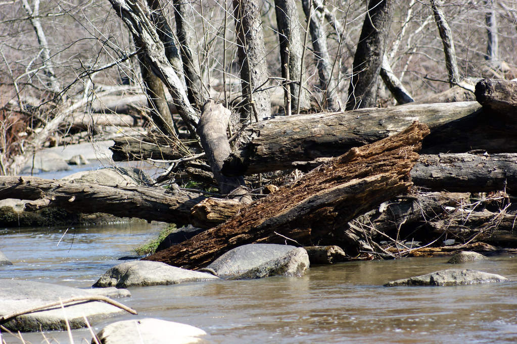 Battle Park LoopHiking · ~60 min drivePhoto: HPUPhotogStudent, CC BY 2.0 (via Flickr)
Best time to visit Roanoke Canal Trail
Best months: March–June and September–November. Best months have typical highs of 55–85 °F, lows of 30 °F or warmer (32 °F where the station doesn't record snow), at most one snowy day and no more than 12 wet days.
Jan
49° / 30°
10 wet
Feb
53° / 32°
9 wet
Mar
60° / 37°
10 wet
Apr
70° / 46°
9 wet
May
78° / 57°
10 wet
Jun
85° / 65°
10 wet
Jul
89° / 70°
10 wet
Aug
87° / 68°
10 wet
Sep
82° / 62°
8 wet
Oct
71° / 50°
8 wet
Nov
61° / 40°
8 wet
Dec
53° / 34°
10 wet
Typical high / low (°F) and days with rain or snow, 1991–2020. Measured at Roanoke Rapids, NC, 3.1 mi away at 210 ft. This station doesn't record snowfall. Source: NOAA NCEI U.S. Climate Normals 1991–2020.
Map and trail data © OpenStreetMap contributors
