Paddy Creek Campground
Campground
Campground · 2.2 mi from the trail
 Photo: chascow, CC BY 2.0 (via Flickr)
Closure in the area
There's a closure order in National Forests in North Carolina. It doesn't name Mountains-to-Sea Connector Trail, so check the source for the area it covers (2 listed).
Maple Sally Road Closure
Agency closure covering National Forests in North Carolina · USFS · National Forests in North Carolina
Table Rock Road construction starts Nov. 2, 2026
Agency closure covering National Forests in North Carolina · USFS · National Forests in North Carolina
Pisgah National Forest Begins Removing Hazardous Fuel Left by Helene via Helicopters
Agency alert covering National Forests in North Carolina · USFS · National Forests in North Carolina
Temporary Closure - The Elk Falls Trail
Agency alert covering National Forests in North Carolina · USFS · National Forests in North Carolina
Rainbow Springs Road closed for reconstruction
Agency alert covering National Forests in North Carolina · USFS · National Forests in North Carolina
As of · Source: USFS · National Forests in North Carolina. Agencies don't list every closure — check before you go.
The Mountains-to-Sea Connector Trail is a moderate out-and-back hike in North Carolina's Grandfather Ranger District, part of the National Forests in North Carolina. The route is about 3.2 miles long, with a total elevation gain of 858 feet, and it starts and ends at roughly 1,491 feet. The steepest stretch comes early, around 0.18 miles in, with a grade of about 16 percent. Spring and fall are the most comfortable times to go. Typical averages from a nearby weather station in Marion, at a similar elevation, show October highs around 70°F with lows near 48°F, and April is similar at about 70°F by day and 46°F at night. The hike takes about 1.5 hours. The Fonta Flora Trail lies about a mile away, and the Fonta Flora State Trail and Mountains-to-Sea Connector Trail are about 1.2 miles off. Climbers can find Shortoff - Upper Wall and Shortoff Mountain within about 1.6 miles.
Paddy Creek Campground
Campground
The Apple Core Grill
Restaurant
Places © OpenStreetMap contributors
More in Spruce PineNot on Roamze yet. Their page has how to reach them.
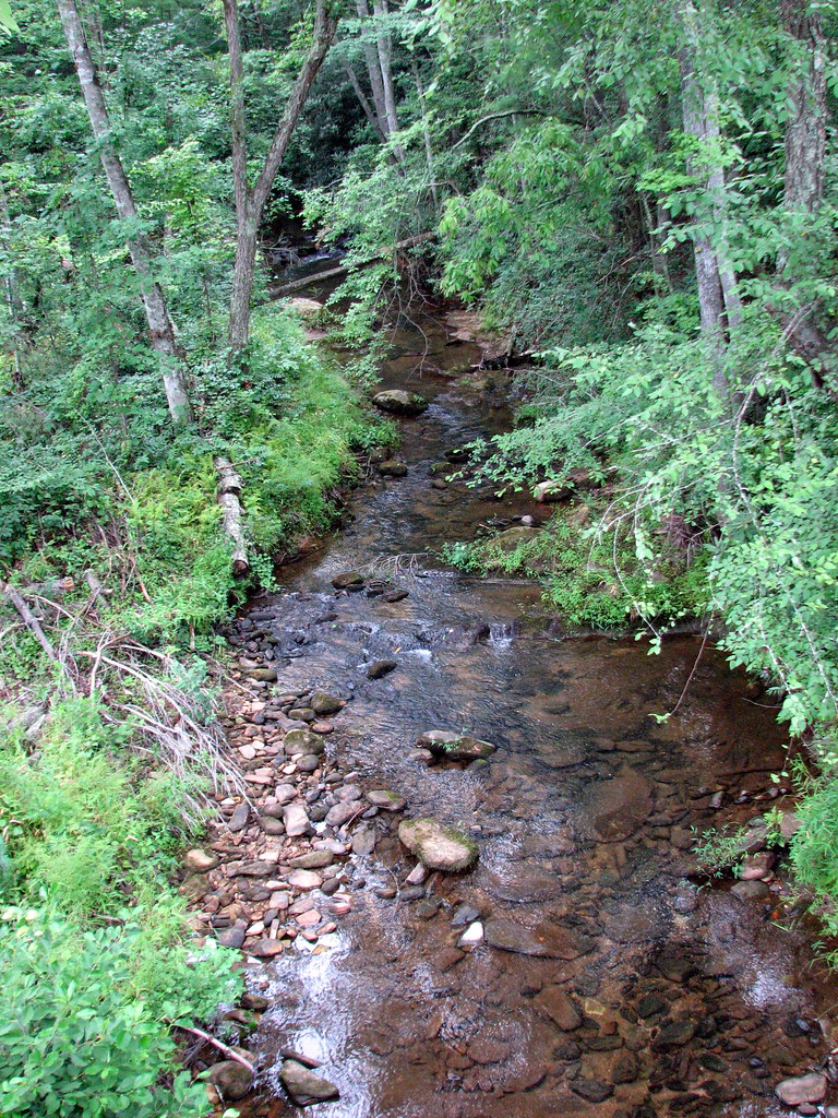 East Wimba TrailHikingPhoto: bobistraveling, CC BY 2.0 (via Flickr)2.8 mi
Source: Roamze catalog (indexable pages within 10 miles, PostGIS distance)
East Wimba TrailHiking · ~5 min drivePhoto: bobistraveling, CC BY 2.0 (via Flickr) Pinch-InHiking · ~5 min drivePhoto: chascow, CC BY 2.0 (via Flickr)
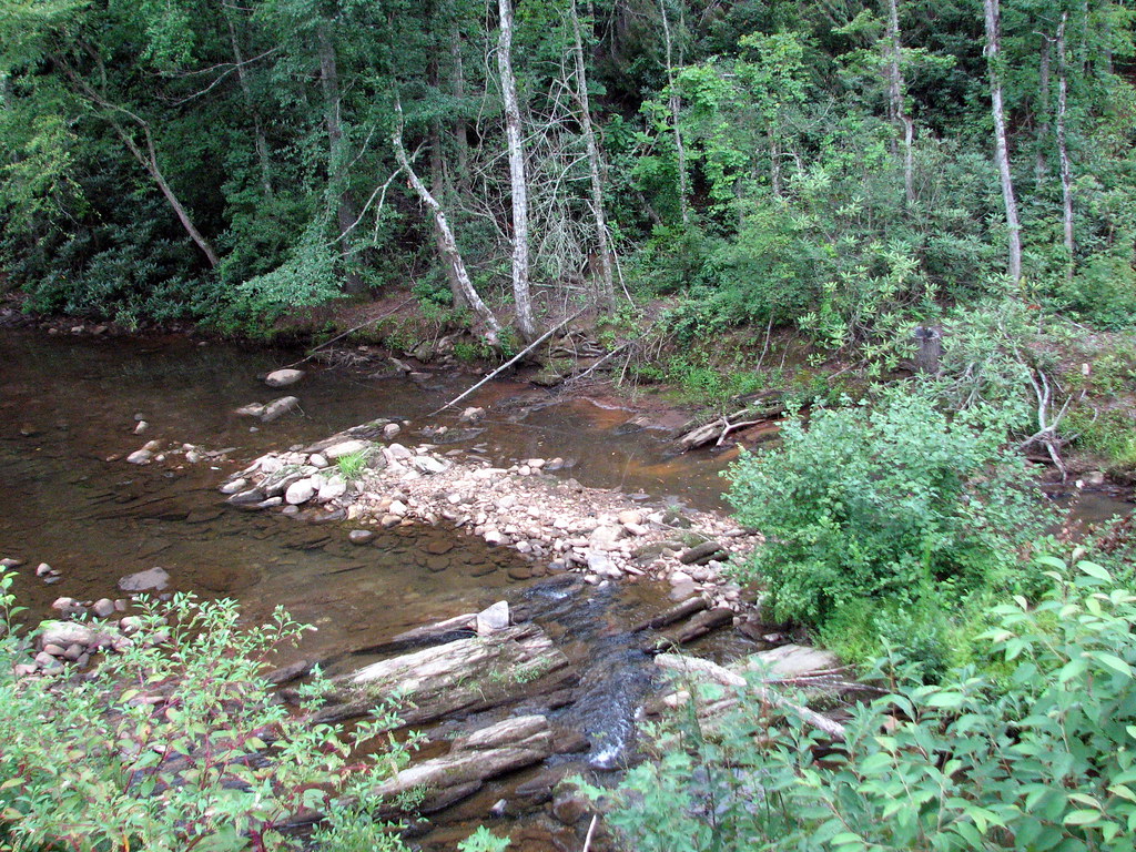 West Wimba TrailHiking · ~6 min drivePhoto: bobistraveling, CC BY 2.0 (via Flickr)South Wimba TrailHiking · ~6 min drivePhoto: bobistraveling, CC BY 2.0 (via Flickr)Fonta Flora TrailHiking · ~6 min drivePhoto: bobistraveling, CC BY 2.0 (via Flickr)
 Mills Creek TrailHiking · ~7 min drivePhoto: bobistraveling, CC BY 2.0 (via Flickr)Overmountain Victory National Historic TrailHiking · ~6 min drivePhoto: bobistraveling, CC BY 2.0 (via Flickr)
 Rock JockHiking · ~6 min drivePhoto: Adam Lynch from Hickory, NC, USA, CC BY-SA 2.0 (via Wikimedia Commons)
 Table Rock GapHiking · ~11 min drivePhoto: npdoty, CC BY 2.0 (via Flickr)
Best months: March–June and August–November. Best months have typical highs of 55–85 °F, lows of 30 °F or warmer (32 °F where the station doesn't record snow), at most one snowy day and no more than 12 wet days.
Jan
49° / 28°
9 wet
Feb
53° / 31°
8 wet
Mar
61° / 37°
10 wet
Apr
70° / 46°
10 wet
May
76° / 55°
11 wet
Jun
82° / 63°
12 wet
Jul
85° / 67°
13 wet
Aug
84° / 66°
12 wet
Sep
79° / 60°
9 wet
Oct
70° / 48°
9 wet
Nov
60° / 38°
8 wet
Dec
51° / 31°
9 wet
Typical high / low (°F) and days with rain or snow, 1991–2020. Measured at Marion, NC, 10.5 mi away at 1,410 ft. This station doesn't record snowfall. Source: NOAA NCEI U.S. Climate Normals 1991–2020.
Map and trail data © OpenStreetMap contributors

