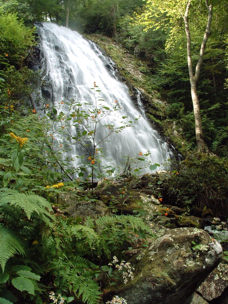
Crabtree Falls Campground
Campground
Campground · 3.3 mi from the trail
Long Branch Trail is a short out-and-back hike in North Carolina, set within easy reach of the community of Strawberry Ridge, about a mile away. The route is just under a mile long one way, with a round trip of about 1.8 miles. The trail rises from roughly 3,299 feet to a high point of 3,312 feet, and the climb is rolling rather than steep, though a section near the start reaches a 15% grade. The total elevation gain is about 518 feet for the round trip, and the trail is rated easy. For comfortable weather, late spring and early fall stand out. Typical averages from a nearby weather station show May highs around 71°F and September highs around 73°F, with October the driest month at about 8 wet days. That station sits roughly 600 feet lower than the trail's high point, so temperatures on the trail run a bit cooler. The trail is an easy add-on to a day in the area. Crabtree Falls Trail and Gillespie Gap Trail are both within about 5 miles, and Armstrong Creek offers paddling a little farther out. Carolina Hemlocks Campground, about 6 miles away, is a base for overnight stays.
Crabtree Falls Campground
Campground
NC Mineral and Gem Festival
Museum
Places © OpenStreetMap contributors
More in Spruce PineNot on Roamze yet. Their page has how to reach them.
 Crabtree Falls TrailHikingPhoto: Wncoutdoors, CC BY-SA 3.0 (via Wikimedia Commons)3.3 mi
 Orchard TrailHikingPhoto: Jdshepard at en.wikipedia, CC BY 3.0 (via Wikimedia Commons)3.9 mi
 Gillespie Gap TrailHikingPhoto: lns1122, CC BY 2.0 (via Flickr)4.8 mi
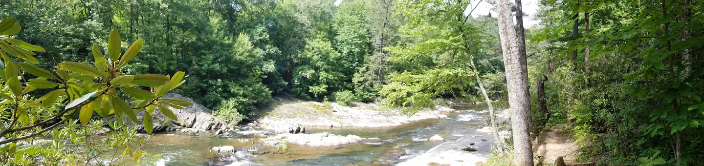 Carolina Hemlocks Rec AreaRiver fishing5.9 mi
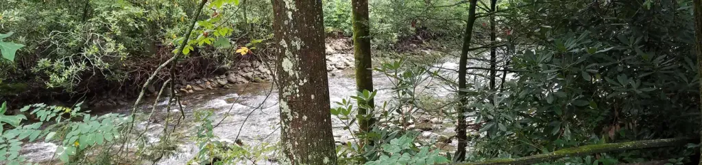 Black Mountain CampgroundCampingPhoto: Recreation.gov (RIDB) / public domain9.1 mi
Source: Roamze catalog (indexable pages within 10 miles, PostGIS distance)
Crabtree Falls TrailHiking · ~6 min drivePhoto: Wncoutdoors, CC BY-SA 3.0 (via Wikimedia Commons) Mst - Grandfather RdHiking · ~11 min drivePhoto: Tim Brown Architecture, CC BY 2.0 (via Flickr)
 Toms Creek FallsHiking · ~12 min drivePhoto: Wncoutdoors, CC BY-SA 3.0 (via Wikimedia Commons)
 Buncombe HorseHiking · ~18 min drivePhoto: daveynin, CC BY 2.0 (via Flickr)Orchard TrailHiking · ~7 min drivePhoto: Jdshepard at en.wikipedia, CC BY 3.0 (via Wikimedia Commons)
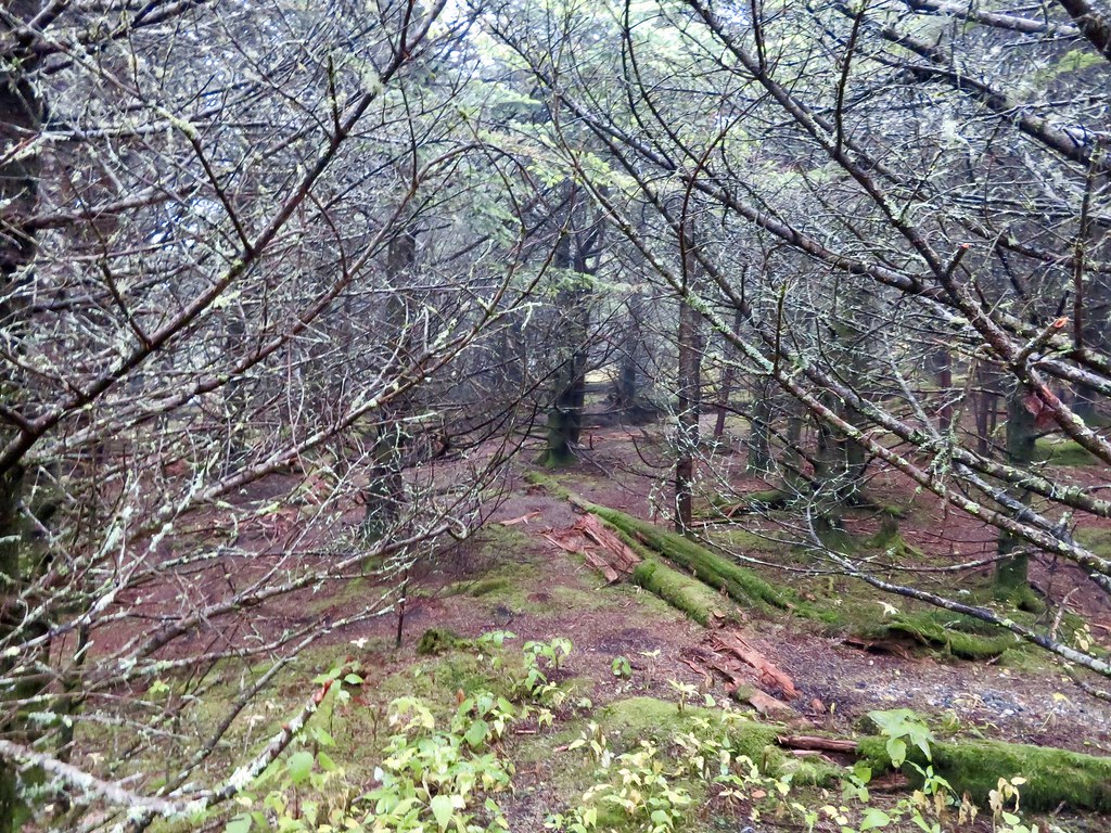 Black Mountain CrestHiking · ~17 min drivePhoto: aafromaa, CC BY 2.0 (via Flickr)Woodlawn FitnessHiking · ~13 min drivePhoto: Wncoutdoors, CC BY-SA 3.0 (via Wikimedia Commons)Gillespie Gap TrailHiking · ~8 min drivePhoto: lns1122, CC BY 2.0 (via Flickr)
 Mt MitchellHiking · ~16 min drivePhoto: Tim Brown Architecture, CC BY 2.0 (via Flickr)
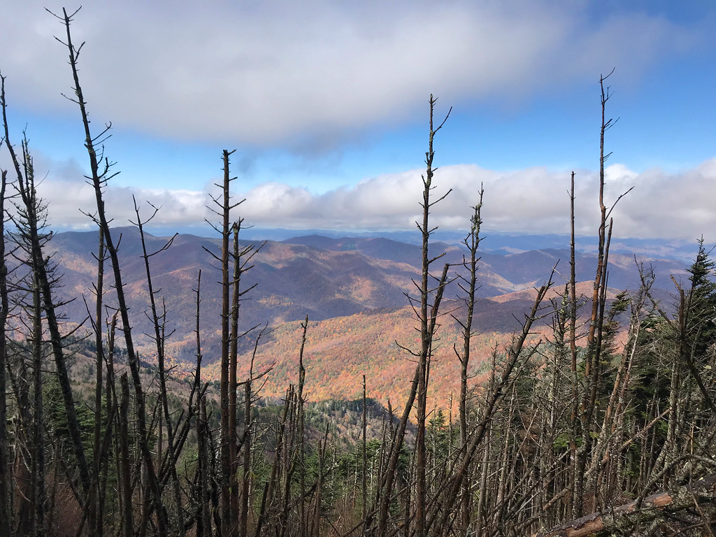 Big Tom GapHiking · ~16 min drivePhoto: Edwards_SA, CC BY-SA 2.0 (via Flickr)
Also worth it near here
Best months: March–June and August–October. Best months have typical highs of 55–85 °F, lows of 30 °F or warmer (32 °F where the station doesn't record snow), at most one snowy day and no more than 12 wet days.
Jan
45° / 23°
10 wet
Feb
49° / 26°
10 wet
Mar
56° / 32°
11 wet
Apr
65° / 40°
11 wet
May
71° / 48°
12 wet
Jun
76° / 55°
12 wet
Jul
79° / 59°
13 wet
Aug
78° / 58°
12 wet
Sep
73° / 52°
9 wet
Oct
65° / 41°
8 wet
Nov
56° / 31°
8 wet
Dec
48° / 26°
10 wet
Typical high / low (°F) and days with rain or snow, 1991–2020. Measured at Celo 2 S, NC, 4.1 mi away at 2,700 ft. The station sits about 600 ft lower than this place, so expect it a little cooler here. This station doesn't record snowfall. Source: NOAA NCEI U.S. Climate Normals 1991–2020.
Map and trail data © OpenStreetMap contributors