Jones Trail
- 0.7 mi
- round trip
- 234 ft
- climb
- 92 ft
- high point
- Out and back
- route
- Sep–May
- best months
Is Jones Trail open right now?
Closure in the area
There's a closure order in National Forests in North Carolina. It doesn't name Jones Trail, so check the source for the area it covers (2 listed).
Maple Sally Road Closure
Agency closure covering National Forests in North Carolina · USFS · National Forests in North Carolina
Table Rock Road construction starts Nov. 2, 2026
Agency closure covering National Forests in North Carolina · USFS · National Forests in North Carolina
Pisgah National Forest Begins Removing Hazardous Fuel Left by Helene via Helicopters
Agency alert covering National Forests in North Carolina · USFS · National Forests in North Carolina
Temporary Closure - The Elk Falls Trail
Agency alert covering National Forests in North Carolina · USFS · National Forests in North Carolina
Rainbow Springs Road closed for reconstruction
Agency alert covering National Forests in North Carolina · USFS · National Forests in North Carolina
As of · Source: USFS · National Forests in North Carolina. Agencies don't list every closure — check before you go.
Jones Trail is a short, easy hike in the Croatan Ranger District of the National Forests in North Carolina, managed by the Forest Service. The trail is about 0.7 miles long and is rated easy, with a total round-trip elevation gain of about 234 feet. The route is an out-and-back, and the steepest part comes at about half a mile in, with a grade of about 4 percent. Spring and fall are the most comfortable times to go. Typical averages from a nearby weather station at Cherry Point show October highs around 76°F with lows near 56°F, and April highs around 74°F. July is the warmest month, with highs near 90°F. Several other trails sit close by. Foster Trail and Pinecliff Horse Trail C are each about 0.3 miles away, and Wright Trail is about 0.7 miles off. For an overnight stay, Flanners Beach/Neuse River Campground is about 7.6 miles away.
 Foster TrailHikingPhoto: pmuellr, CC BY 2.0 (via Flickr)0.3 mi
- PINECLIFF HORSE TRAIL CHikingPhoto: pmuellr, CC BY 2.0 (via Flickr)0.3 mi
- Wright TrailHikingPhoto: pmuellr, CC BY 2.0 (via Flickr)0.7 mi
 PINECLIFF HORSE TRAIL AHikingPhoto: bobistraveling, CC BY 2.0 (via Flickr)1 mi
- Flanners Beach/Neuse River CampgroundCamping7.6 mi
Source: Roamze catalog (indexable pages within 10 miles, PostGIS distance)
- Foster TrailHiking · Next doorPhoto: pmuellr, CC BY 2.0 (via Flickr)
- PINECLIFF HORSE TRAIL AHiking · ~2 min drivePhoto: bobistraveling, CC BY 2.0 (via Flickr)
- Neusiok TrailHiking · ~3 min drive
- Wright TrailHiking · ~1 min drivePhoto: pmuellr, CC BY 2.0 (via Flickr)
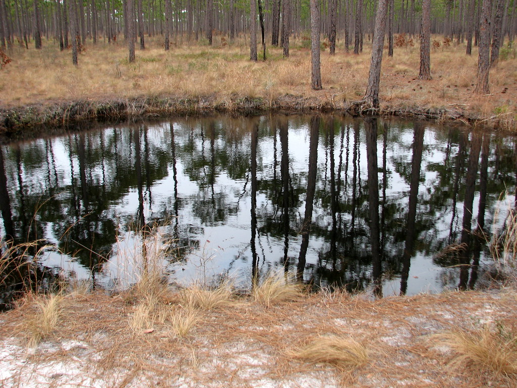 Yellow TrailHiking · ~26 min drivePhoto: bobistraveling, CC BY 2.0 (via Flickr)
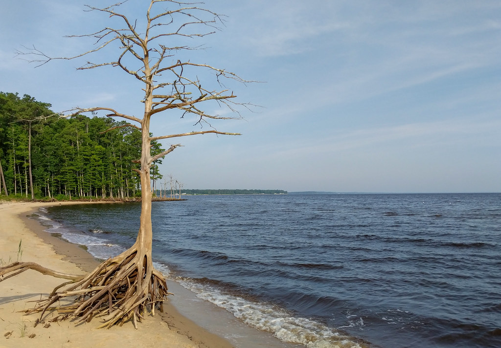 Wright TrailHiking · ~1 min drivePhoto: pmuellr, CC BY 2.0 (via Flickr)
- PINECLIFF HORSE TRAIL CHiking · Next doorPhoto: pmuellr, CC BY 2.0 (via Flickr)
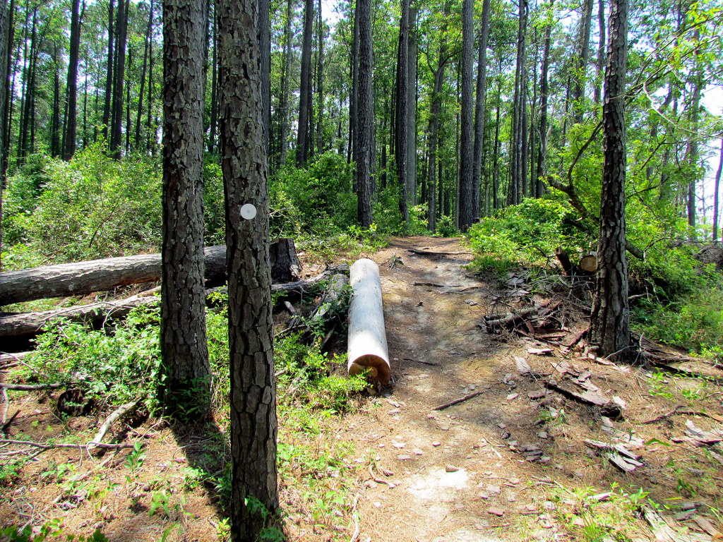 Foster TrailHiking · ~2 min drivePhoto: bobistraveling, CC BY 2.0 (via Flickr)
- BRICE'S CREEKHiking · ~26 min drive
- Wright TrailHiking · ~2 min drivePhoto: pmuellr, CC BY 2.0 (via Flickr)
Best time to visit Jones Trail
Best months: September–May. Best months have typical highs of 55–85 °F, lows of 30 °F or warmer (32 °F where the station doesn't record snow), at most one snowy day and no more than 12 wet days.
Jan
57° / 36°
11 wet
Feb
60° / 38°
10 wet
Mar
66° / 43°
10 wet
Apr
74° / 52°
9 wet
May
81° / 60°
10 wet
Jun
87° / 69°
11 wet
Jul
90° / 73°
13 wet
Aug
89° / 72°
13 wet
Sep
84° / 68°
11 wet
Oct
76° / 56°
9 wet
Nov
67° / 46°
9 wet
Dec
60° / 40°
11 wet
Typical high / low (°F) and days with rain or snow, 1991–2020. Measured at Cherry Point Mcas, NC, 3.1 mi away at 29 ft. This station doesn't record snowfall. Source: NOAA NCEI U.S. Climate Normals 1991–2020.

Map and trail data © OpenStreetMap contributors
