Cove Creek Lower Group Camp
Campground
Sites open the weekend of Dec 25 on Recreation.gov
Closure in the area
There's a closure order in National Forests in North Carolina. It doesn't name Cove Creek - Daniel Connector, so check the source for the area it covers (2 listed).
Maple Sally Road Closure
Agency closure covering National Forests in North Carolina · USFS · National Forests in North Carolina
Table Rock Road construction starts Nov. 2, 2026
Agency closure covering National Forests in North Carolina · USFS · National Forests in North Carolina
Pisgah National Forest Begins Removing Hazardous Fuel Left by Helene via Helicopters
Agency alert covering National Forests in North Carolina · USFS · National Forests in North Carolina
Temporary Closure - The Elk Falls Trail
Agency alert covering National Forests in North Carolina · USFS · National Forests in North Carolina
Rainbow Springs Road closed for reconstruction
Agency alert covering National Forests in North Carolina · USFS · National Forests in North Carolina
As of · Source: USFS · National Forests in North Carolina. Agencies don't list every closure — check before you go.
Cove Creek - Daniel Connector is a short, easy out-and-back hike in the Pisgah Ranger District of the National Forests in North Carolina, managed by the Forest Service. The route is about 0.6 miles long, with a total climb of about 290 feet from a low point of 2,739 feet to a high of 2,914 feet. It's a quick outing, and the trail is rated easy. The most comfortable months tend to be late spring and early fall. Typical averages from a nearby weather station in Brevard show May highs around 75°F and October highs around 69°F, though temperatures on this trail run cooler than those figures because the station sits well below the route. Cove Creek and Caney Bottom are both within a quarter mile, and Upper Cove Creek Roadside Campsites and Looking Glass Boulders lie about 1.5 to 1.6 miles away.
Cove Creek Lower Group Camp
Campground
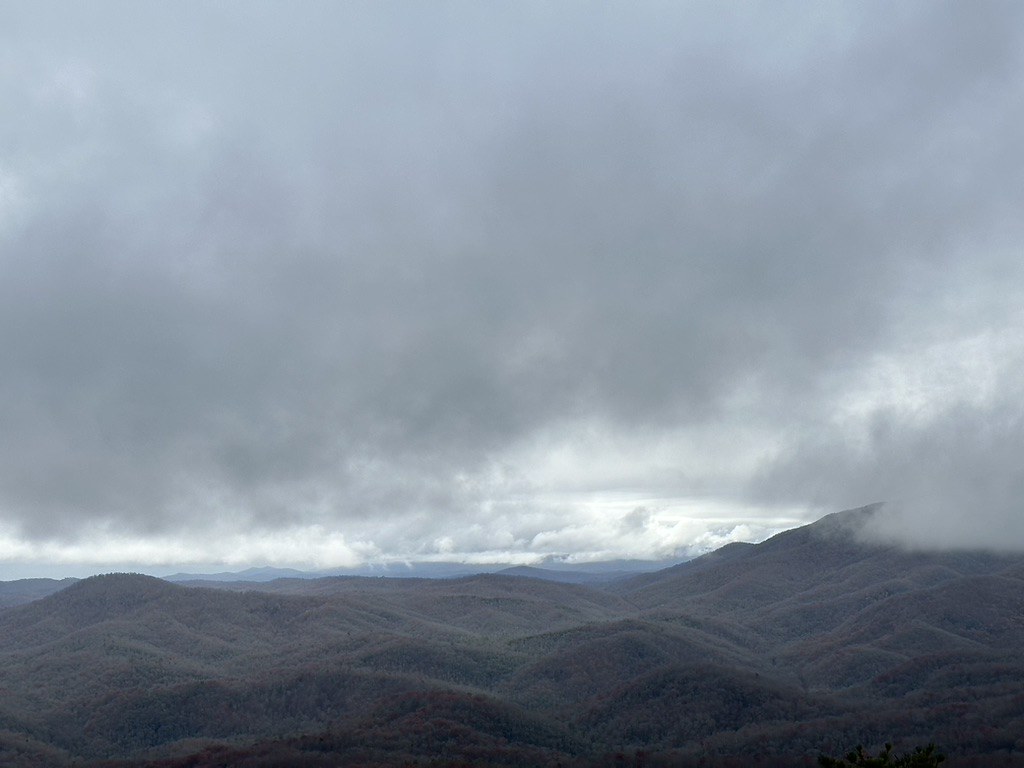
 If it rainsMx. Granger, CC0 · Wikimedia Commons
Places © OpenStreetMap contributors, Places © Overture Maps Foundation · Photos: Mx. Granger, CC0 (commons)
More in HendersonvilleNot on Roamze yet. Their page has how to reach them.
 Upper Cove Creek Roadside CampsitesCampingPhoto: Wncoutdoors, CC BY-SA 3.0 (via Wikimedia Commons)1.5 mi
 Looking Glass BouldersRock climbingPhoto: Osajus Photography, CC BY 2.0 (via Flickr)1.6 miSun WallRock climbingPhoto: Osajus Photography, CC BY 2.0 (via Flickr)1.6 mi
Source: Roamze catalog (indexable pages within 10 miles, PostGIS distance)
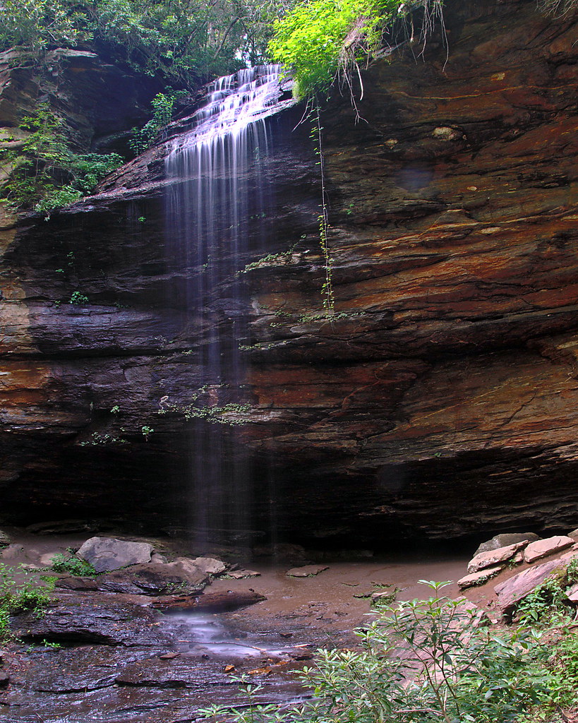
 Slick Rock FallsHiking · ~2 min drivePhoto: zappowbang, CC BY-SA 2.0 (via Flickr)
 Looking Glass RockHiking · ~4 min drivePhoto: mededeler, CC BY 2.0 (via Flickr)
 COON TREE LOOP CONNECTORHiking · ~5 min drivePhoto: 5chw4r7z, CC BY-SA 2.0 (via Flickr)
 Mst - Pisgah RdHiking · ~7 min drivePhoto: Jordan Mitchell, CC BY-SA 3.0 (via Wikimedia Commons)SunwallHiking · ~3 min drivePhoto: Osajus Photography, CC BY 2.0 (via Flickr)Case Camp RidgeHiking · ~5 min drivePhoto: Wncoutdoors, CC BY-SA 3.0 (via Wikimedia Commons)
 Buckwheat KnobHiking · ~6 min drivePhoto: rharrison, CC BY-SA 2.0 (via Flickr)North FaceHiking · ~3 min drivePhoto: Osajus Photography, CC BY 2.0 (via Flickr)
 Greasy CoveHiking · ~6 min drivePhoto: daveynin, CC BY 2.0 (via Flickr)Coontree LoopHiking · ~6 min drivePhoto: rharrison, CC BY-SA 2.0 (via Flickr)
Best months: March–May and September–November. Best months have typical highs of 55–85 °F, lows of 30 °F or warmer (32 °F where the station doesn't record snow), at most one snowy day and no more than 12 wet days.
Jan
49° / 25°
10 wet · 1 snow
Feb
53° / 27°
10 wet · 1 snow
Mar
60° / 33°
12 wet
Apr
69° / 41°
11 wet
May
75° / 50°
12 wet
Jun
81° / 58°
14 wet
Jul
83° / 62°
15 wet
Aug
82° / 62°
14 wet
Sep
77° / 55°
10 wet
Oct
69° / 43°
9 wet
Nov
59° / 32°
8 wet
Dec
51° / 28°
10 wet · 1 snow
Typical high / low (°F) and days with rain or snow, 1991–2020. Measured at Brevard, NC, 6.3 mi away at 2,175 ft. The station sits about 700 ft lower than this place, so expect it a little cooler here. Source: NOAA NCEI U.S. Climate Normals 1991–2020.
Map and trail data © OpenStreetMap contributors

