Bay Trail
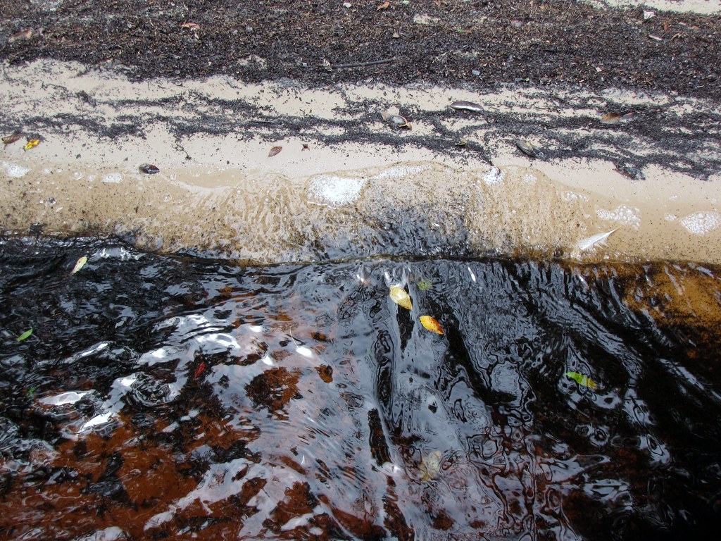
 Photo: Gerry Dincher, CC BY-SA 2.0 (via Flickr)
- 0.9 mi
- round trip
- 240 ft
- climb
- 120 ft
- high point
- Out and back
- route
- Feb–May, Sep–Dec
- best months
Bay Trail is an easy, short hike in North Carolina, about 2 miles from the town of Yorick. The trail is an out-and-back route roughly 1.7 miles long, with a total elevation gain of 240 feet, about half of it on the way up and the other half on the way back. The climb is front-loaded, with the steepest stretch, a 3% grade, about 0.06 miles from the start. The trail's highest point is 120 feet, and the low point is 85 feet, so the whole trip is a gentle walk rather than a serious climb. The most comfortable months for a visit are spring and fall. Typical averages from a nearby weather station in Elizabethtown run to highs around 75°F in April and October, while July averages a high of 91°F. The hike takes about half an hour to complete. Several other trails sit close by, including Jones Lake Trail and Salters Lake Trail, each about 0.9 miles away, and Edgar Davis Trail and Big Bay Trail, each about 1.3 miles away.
 Jones Lake TrailHikingPhoto: Gerry Dincher, CC BY-SA 2.0 (via Flickr)0.9 mi
 Salters Lake TrailHikingPhoto: Gerry Dincher, CC BY-SA 2.0 (via Flickr)0.9 mi
- J.C. Butler TrailHikingPhoto: Gerry Dincher, CC BY-SA 2.0 (via Flickr)0.9 mi
 Edgar Davis TrailHikingPhoto: Gerry Dincher, CC BY-SA 2.0 (via Flickr)1.3 mi
- Big Bay TrailHikingPhoto: Gerry Dincher, CC BY-SA 2.0 (via Flickr)1.3 mi
- Lacy Cromartle TrailHiking2.5 mi
- Browns Creek TrailMountain biking5.1 mi
- Hammonds CreekCanoeing8.7 mi
Source: Roamze catalog (indexable pages within 10 miles, PostGIS distance)
 Bay TrailHiking · Next doorPhoto: Gerry Dincher, CC BY-SA 2.0 (via Flickr)
- Salters Lake TrailHiking · ~5 min drive
- Browns Creek TrailHiking · ~9 min drive
- Jones Lake TrailHiking · ~2 min drivePhoto: Gerry Dincher, CC BY-SA 2.0 (via Flickr)
 Bay TrailHiking · ~2 min drivePhoto: Gerry Dincher, CC BY-SA 2.0 (via Flickr)
- Salters Lake TrailHiking · ~2 min drivePhoto: Gerry Dincher, CC BY-SA 2.0 (via Flickr)
- J.C. Butler TrailHiking · ~2 min drivePhoto: Gerry Dincher, CC BY-SA 2.0 (via Flickr)
- Salters Lake TrailHiking · ~2 min drivePhoto: Gerry Dincher, CC BY-SA 2.0 (via Flickr)
- Big Bay TrailHiking · ~2 min drivePhoto: Gerry Dincher, CC BY-SA 2.0 (via Flickr)
- Edgar Davis TrailHiking · ~2 min drivePhoto: Gerry Dincher, CC BY-SA 2.0 (via Flickr)
Best time to visit Bay Trail
Best months: February–May and September–December. Best months have typical highs of 55–85 °F, lows of 30 °F or warmer (32 °F where the station doesn't record snow), at most one snowy day and no more than 12 wet days.
Jan
54° / 32°
Feb
59° / 34°
Mar
66° / 40°
Apr
75° / 49°
May
82° / 58°
Jun
87° / 66°
Jul
91° / 70°
Aug
88° / 69°
Sep
84° / 64°
Oct
75° / 52°
Nov
65° / 40°
Dec
58° / 35°
Typical high / low (°F) and days with rain or snow, 1991–2020. Measured at Elizabethtown, NC, 4 mi away at 120 ft. This station doesn't record snowfall. Source: NOAA NCEI U.S. Climate Normals 1991–2020.

Map and trail data © OpenStreetMap contributors
