Bpw
Campground
Campground · < 0.1 mi from the trail
Closure in the area
There's a closure order in National Forests in North Carolina. It doesn't name Bpw, so check the source for the area it covers (2 listed).
Maple Sally Road Closure
Agency closure covering National Forests in North Carolina · USFS · National Forests in North Carolina
Table Rock Road construction starts Nov. 2, 2026
Agency closure covering National Forests in North Carolina · USFS · National Forests in North Carolina
Temporary Closure - The Elk Falls Trail
Agency alert covering National Forests in North Carolina · USFS · National Forests in North Carolina
Rainbow Springs Road closed for reconstruction
Agency alert covering National Forests in North Carolina · USFS · National Forests in North Carolina
Siddie Fields Day Use Area closed for improvements
Agency alert covering National Forests in North Carolina · USFS · National Forests in North Carolina
As of · Source: USFS · National Forests in North Carolina. Agencies don't list every closure — check before you go.
Bpw is a campground in North Carolina at about 3,518 feet. It is managed by the U.S. Forest Service.
Bpw
Campground
Mount Mitchell State Park Restaurant
Restaurant
 If it rainsDavidhuffcreative, CC BY-SA 4.0 · Wikimedia Commons
Places © OpenStreetMap contributors, Places © Overture Maps Foundation · Photos: Davidhuffcreative, CC BY-SA 4.0 (commons)
More in Spruce PineNot on Roamze yet. Their page has how to reach them.
 Bald Knob RidgeHikingPhoto: rbabiera, CC BY 2.0 (via Flickr)0.8 mi
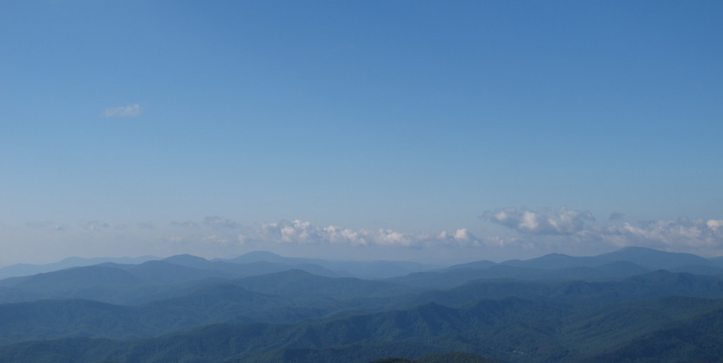 Green Knob TrailHikingPhoto: pmuellr, CC BY 2.0 (via Flickr)1.5 mi
 Briar Bottom Group CampCampingPhoto: Wncoutdoors, CC BY-SA 3.0 (via Wikimedia Commons)2.2 mi
 Mitchell FallsWaterfallPhoto: Unknown authorUnknown author, Public domain (via Wikimedia Commons)4.1 mi
Source: Roamze catalog (indexable pages within 10 miles, PostGIS distance)
Briar Bottom Group CampCamping · ~4 min drivePhoto: Wncoutdoors, CC BY-SA 3.0 (via Wikimedia Commons)Also worth it near here
Bald Knob RidgeHiking · ~1 min drivePhoto: rbabiera, CC BY 2.0 (via Flickr)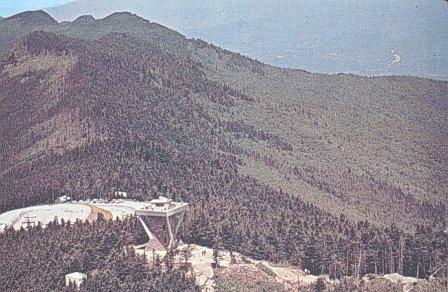 Mount MitchellSummit · ~5 min drivePhoto: Public domain (via Wikimedia Commons)Mitchell FallsWaterfall · ~7 min drivePhoto: Unknown authorUnknown author, Public domain (via Wikimedia Commons)
Best months: March–June and August–October. Best months have typical highs of 55–85 °F, lows of 30 °F or warmer (32 °F where the station doesn't record snow), at most one snowy day and no more than 12 wet days.
Jan
45° / 23°
10 wet
Feb
49° / 26°
10 wet
Mar
56° / 32°
11 wet
Apr
65° / 40°
11 wet
May
71° / 48°
12 wet
Jun
76° / 55°
12 wet
Jul
79° / 59°
13 wet
Aug
78° / 58°
12 wet
Sep
73° / 52°
9 wet
Oct
65° / 41°
8 wet
Nov
56° / 31°
8 wet
Dec
48° / 26°
10 wet
Typical high / low (°F) and days with rain or snow, 1991–2020. Measured at Celo 2 S, NC, 8 mi away at 2,700 ft. The station sits about 800 ft lower than this place, so expect it a little cooler here. This station doesn't record snowfall. Source: NOAA NCEI U.S. Climate Normals 1991–2020.
Map and trail data © OpenStreetMap contributors
