West Mountain Ski Resort
- 1,424 ft
- high point
- May–Oct
- best months
- Summit elevation
- 1,424 ft
- Base elevation
- 417 ft
- Vertical drop
- 1,007 ft
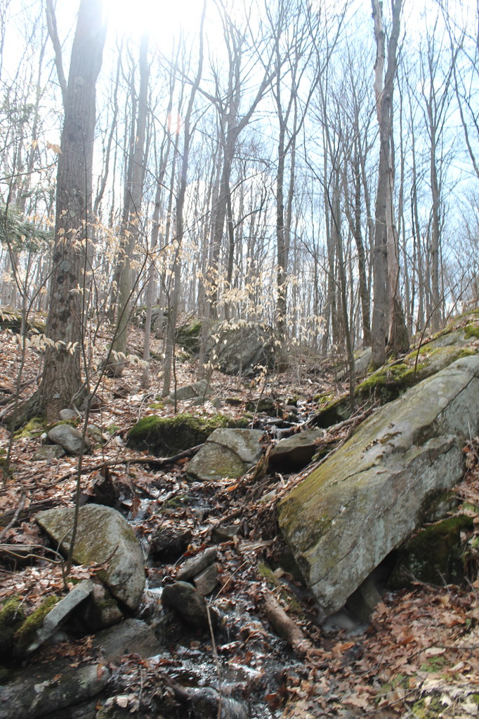 Baker TrailHikingPhoto: andyarthur, CC BY 2.0 (via Flickr)2.7 mi
- Moreau AreaRock climbing2.7 mi
 Red Oak Ridge TrailHikingPhoto: andyarthur, CC BY 2.0 (via Flickr)3 mi
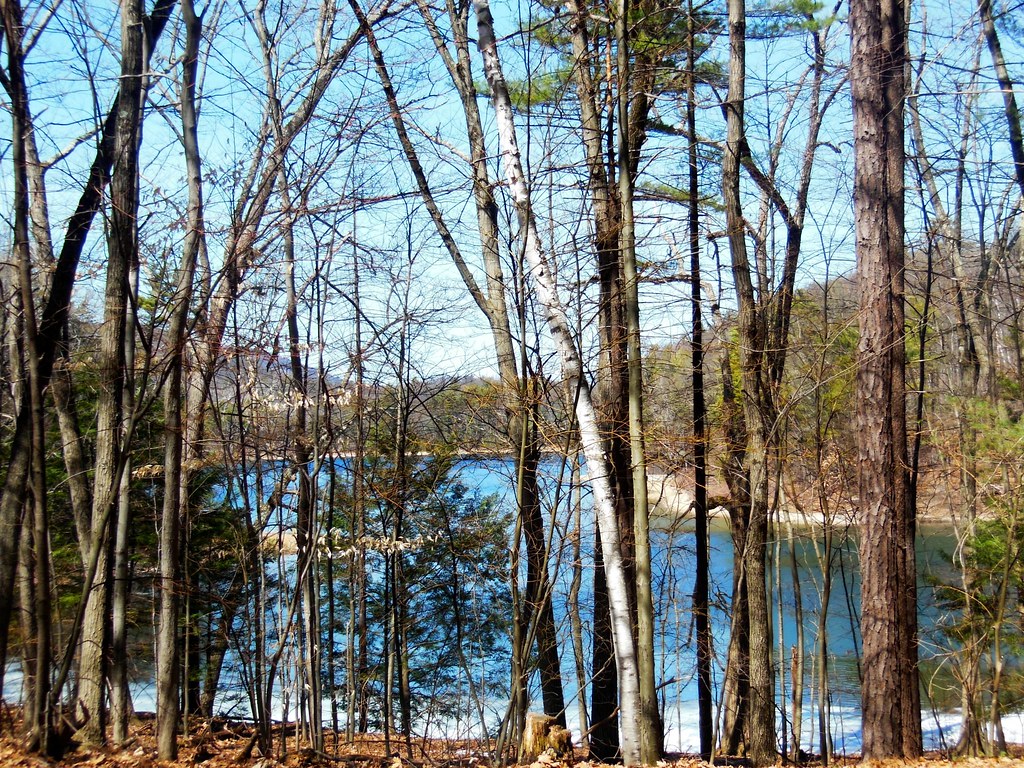 Mud Pond TrailHikingPhoto: dianecordell, CC BY 2.0 (via Flickr)3 mi
- The Fresh Wall, Spier Falls AreaRock climbing4 mi
 Hudson RiverCanoeingPhoto: Dan DeLuca, CC BY 2.0 (via Wikimedia Commons)4.4 mi
- Bikeway Block (French Mountain)Rock climbing6.8 mi
- Halfway BrookCanoeing8.9 mi
Source: Roamze catalog (indexable pages within 10 miles, PostGIS distance)
 Gore MountainDownhill skiing · ~53 min drivePhoto: Ian Taylor Iant333, Public domain (via Wikimedia Commons)
- Rootville - JenksCross-country skiing · ~1h 8m drive
- Winhall RiverCross-country skiing · ~1h 9m drive
- Wild Wings - Blue JayCross-country skiing · ~1h 10m drive
- SunwaySki touring · ~52 min drive
- OsloCross-country skiing · ~53 min drive
 Bromley Mountain Ski ResortDownhill skiing · ~1h 8m drivePhoto: Jrclark, CC BY-SA 3.0 (via Wikimedia Commons)
- Stratton PondCross-country skiing · ~1h 9m drive
- Catamount - Golden SpikeCross-country skiing · ~1h 9m drive
- Catamount - KendallCross-country skiing · ~1h 11m drive
Best time to visit West Mountain Ski Resort
Best months: May–October. Best months have typical highs of 55–85 °F, lows of 30 °F or warmer (32 °F where the station doesn't record snow), at most one snowy day and no more than 12 wet days.
Jan
31° / 6°
10 wet
Feb
34° / 7°
8 wet
Mar
44° / 18°
9 wet
Apr
58° / 30°
10 wet
May
71° / 42°
11 wet
Jun
79° / 52°
11 wet
Jul
84° / 57°
10 wet
Aug
82° / 54°
9 wet
Sep
74° / 46°
9 wet
Oct
60° / 35°
10 wet
Nov
48° / 24°
9 wet
Dec
37° / 14°
10 wet
Typical high / low (°F) and days with rain or snow, 1991–2020. Measured at Glens Falls Farm, NY, 3.6 mi away at 504 ft. The station sits about 900 ft lower than this place, so expect it a little cooler here. This station doesn't record snowfall. Source: NOAA NCEI U.S. Climate Normals 1991–2020.
Map and trail data © OpenStreetMap contributors
