Tanbark Trail
- 1.7 mi
- loop
- 528 ft
- climb
- 1,432 ft
- high point
- Loop
- route
- Sep–Oct
- best months
Tanbark Trail is a 1.7-mile hike in New York, about 0.3 miles from the village of Phoenicia. It rises from roughly 963 feet to about 1,432 feet, with a total elevation gain of 528 feet, and is rated easy. The climb starts gently but gets steep soon, with the steepest stretch at about 0.38 miles in, where the grade reaches 29%. That section is the only one worth noting in a trip that otherwise moves at a steady, manageable pace. The trail also drops about 1,123 feet on the way back. Summer is the most comfortable time to go. Typical averages from the Platte Clove weather station, about 12 miles away, put July highs near 80°F with lows around 55°F, while September stays mild at about 72°F. Phoenicia, Sportsman's Wall, a climbing area, sits just 0.2 miles away. The Phoenicia Trail is about a mile off, Willow Trail about 2.8 miles, and Esopus Creek, a paddling route, about 6 miles.
Local outfitters
- Catskill Outfitters2 mi away
Not on Roamze yet. Their page has how to reach them.
- Phoenicia, Sportsman's WallRock climbing0.2 mi
- Phoenicia TrailHiking1.1 mi
- Willow TrailHiking2.8 mi
- Metta TrailHiking3.3 mi
- TestHiking4.9 mi
 Wittenberg - Cornell - Slide TrailHikingPhoto: ke9tv, CC BY-SA 2.0 (via Flickr)5 mi
 Esopus CreekCanoeingPhoto: Daniel Case, CC BY-SA 4.0 (via Wikimedia Commons)6.1 mi
- Primitive CampsiteCamping8.5 mi
Source: Roamze catalog (indexable pages within 10 miles, PostGIS distance)
- Wittenberg - Cornell - Slide TrailHiking · ~9 min drivePhoto: ke9tv, CC BY-SA 2.0 (via Flickr)
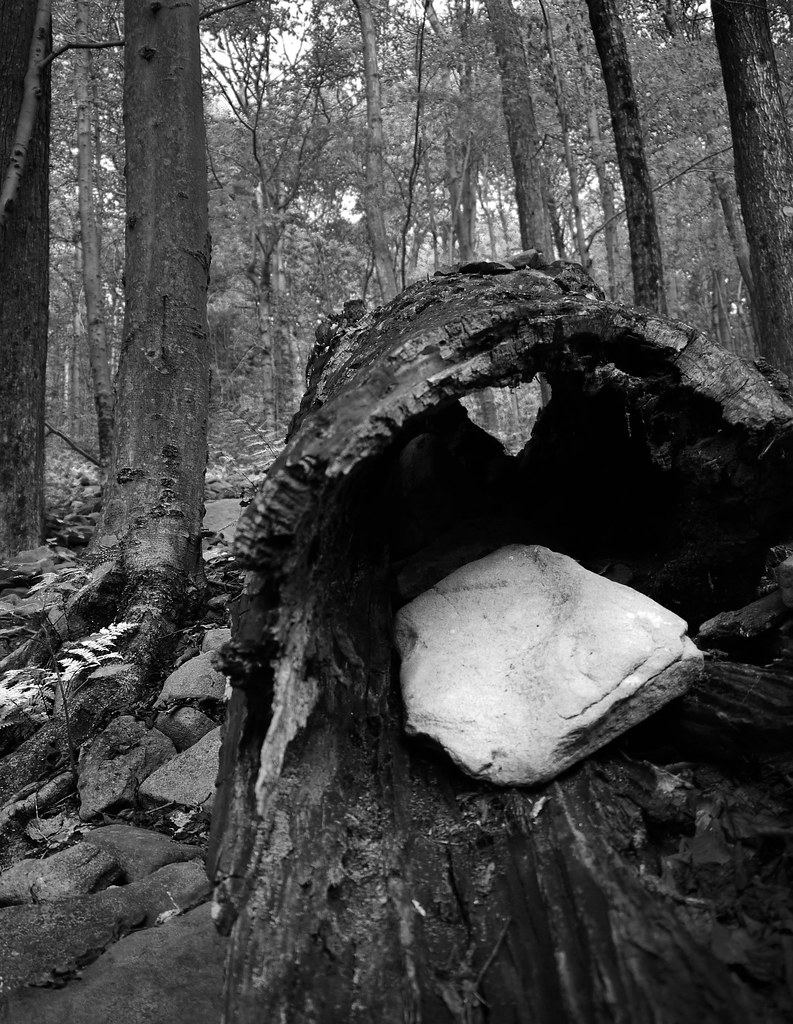 Giant Ledge - Panther - Fox Hollow TrailHiking · ~10 min drivePhoto: GRI SHA, CC BY-SA 2.0 (via Flickr)
 Lost Clove TrailHiking · ~16 min drivePhoto: Russ Nelson, CC BY-SA 2.0 (via Flickr)
- Sherrill and North Dome Herd PathHiking · ~13 min drive
 Herd PathHiking · ~10 min drivePhoto: ke9tv, CC BY-SA 2.0 (via Flickr)
 Garretson RidgeHiking · ~14 min drivePhoto: Russ Nelson, CC BY-SA 2.0 (via Flickr)
- Oliverea-Mapledale Trail - redHiking · ~15 min drive
 Ashokan Rail TrailHiking · ~11 min drivePhoto: New York Public Library, No restrictions (via Wikimedia Commons)
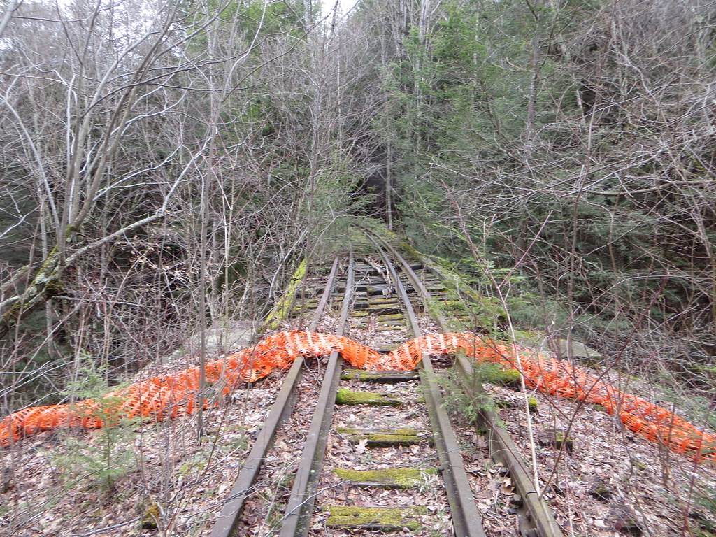 Belleayre Beach TrailHiking · ~15 min drivePhoto: Russ Nelson, CC BY-SA 2.0 (via Flickr)
 Moon Haw to Friday-Balsam Cap Col Herd PathHiking · ~12 min drivePhoto: New York Public Library, No restrictions (via Wikimedia Commons)
Also worth it near here
- Phoenicia, Sportsman's WallRock climbing · Next door
- Phoenicia Black Bear CampgroundCamping · Next door
 Panther MountainSummit · ~8 min drivePhoto: The original uploader was Daniel Case at English Wikipedia., CC BY-SA 3.0 (via Wikimedia Commons)
- Esopus CreekCanoeing · ~10 min drivePhoto: Daniel Case, CC BY-SA 4.0 (via Wikimedia Commons)
Best time to visit Tanbark Trail
Best months: September–October. Best months have typical highs of 55–85 °F, lows of 30 °F or warmer (32 °F where the station doesn't record snow), at most one snowy day and no more than 12 wet days.
Jan
32° / 12°
16 wet
Feb
35° / 13°
13 wet
Mar
42° / 20°
13 wet
Apr
55° / 31°
12 wet
May
67° / 42°
14 wet
Jun
75° / 51°
14 wet
Jul
80° / 55°
14 wet
Aug
79° / 54°
13 wet
Sep
72° / 48°
11 wet
Oct
59° / 37°
12 wet
Nov
47° / 28°
13 wet
Dec
37° / 19°
16 wet
Typical high / low (°F) and days with rain or snow, 1991–2020. Measured at Platte Clove, NY, 11.8 mi away at 2,032 ft. The station sits about 600 ft higher than this place, so expect it a little warmer here. This station doesn't record snowfall. Source: NOAA NCEI U.S. Climate Normals 1991–2020.
Map and trail data © OpenStreetMap contributors
