Spruce Bog Trail
- 2.4 mi
- round trip
- 436 ft
- climb
- 1,658 ft
- high point
- Out and back
- route
- Jun–Oct
- best months
Spruce Bog Trail is an easy out-and-back hike in Grafton Lakes State Park in New York, managed by State Park and Recreation. The trail is about 4.9 miles long, with a total elevation gain of 436 feet, and it starts at roughly 1,485 feet, rising to a high point of about 1,658 feet before returning to the starting level. The steepest stretch comes within the first tenth of a mile, with a grade of about 10 percent. Summer is the most comfortable time to go. Typical averages from a nearby weather station in Grafton, NY, run to highs around 78°F in July and 77°F in August, with lows near 58°F. Winters are cold, with January highs around 30°F. The trip takes about two hours. The trail is close to several other routes. Crossover Trail is about half a mile away, Gartlerts Trail is about 0.9 miles away, and Little Johnny's Trail is about a mile away. Paddlers can reach the Hoosic River Canoe Route, about 4.4 miles off.
Best time to go · Jun–Oct
Best time to visit Spruce Bog Trail
Best months: June–October. Best months have typical highs of 55–85 °F, lows of 30 °F or warmer (32 °F where the station doesn't record snow), at most one snowy day and no more than 12 wet days.
Jan
30° / 14°
13 wet
Feb
32° / 16°
11 wet
Mar
41° / 23°
13 wet
Apr
55° / 35°
13 wet
May
67° / 46°
14 wet
Jun
74° / 54°
12 wet
Jul
78° / 59°
12 wet
Aug
77° / 58°
11 wet
Sep
69° / 51°
11 wet
Oct
57° / 41°
12 wet
Nov
45° / 30°
12 wet
Dec
34° / 21°
13 wet
Typical high / low (°F) and days with rain or snow, 1991–2020. Measured at Grafton, NY, 1.1 mi away at 1,560 ft. This station doesn't record snowfall. Source: NOAA NCEI U.S. Climate Normals 1991–2020.
Keep exploring — more trails worth the drive
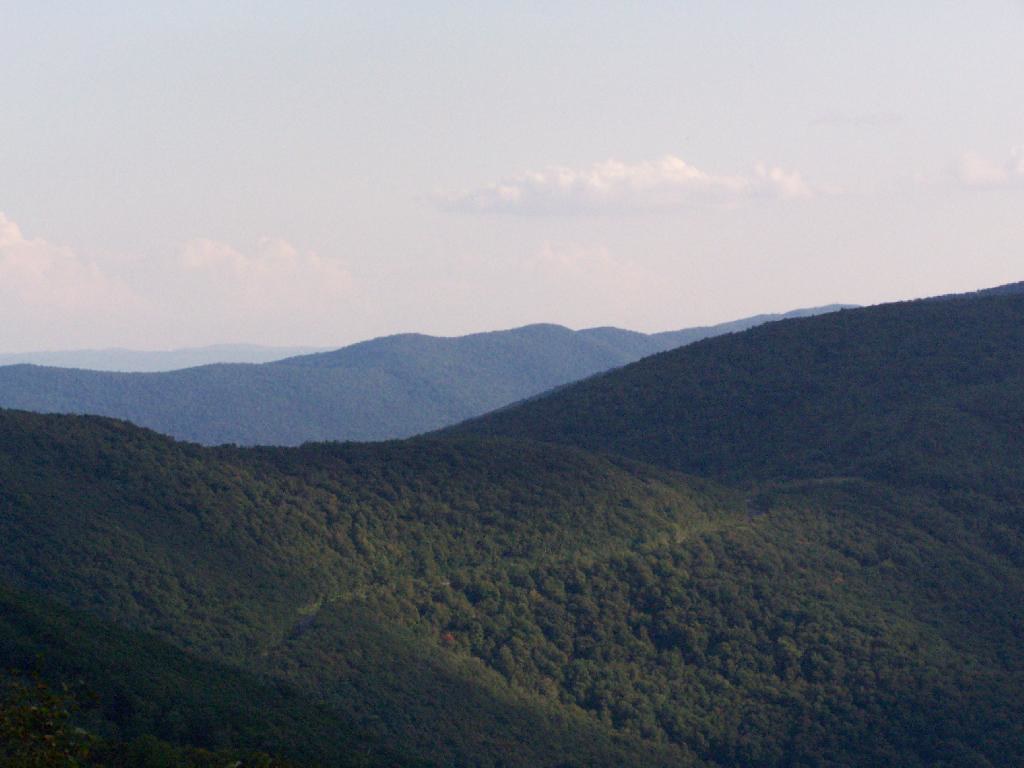 Photo: andyarthur, CC BY 2.0 (via Flickr)
Birch Brook Trail
~16 min drive
2.84-mile out-and-back trail in New York with 1,225 ft of elevation gain
Photo: andyarthur, CC BY 2.0 (via Flickr)Shepherds Well Trail
~18 min drive
2.0-mile out-and-back trail in Massachusetts with 566 ft elevation gain and loss.
 Photo: PunkToad, CC BY 2.0 (via Flickr)
Champlain Valley Trail (Peebles Island State Park to Halfmoon)
~20 min drive
5.50-mile point-to-point trail in New York with 372 ft gain and 312 ft loss.
 Photo: JFGryphon, Public Domain Dedication (CC0) (via Flickr)
Hoosic River Trail
~21 min drive
2.76-mile out-and-back hike along the Hoosic River in Massachusetts with 900 ft gain.
HIKE
Whoop-de Do Trail (white)
~5 min drive
3.5-mile out-and-back trail in New York with 1,026 ft elevation gain
HIKE
Crossover Trail
Next door
0.84-mile out-and-back hike in New York with 80 ft of elevation gain.
HIKE
Long Trail (White)
~5 min drive
4.00-mile out-and-back trail in New York with 487 ft gain
HIKE
Second Pond Trail
Next door
0.33-mile out-and-back trail to Second Pond in New York.
HIKE
White Trail
~8 min drive
4.8-mile out-and-back trail in New York with 1,048 ft elevation gain
HIKE
Gartlerts Trail
~2 min drive
2.66-mile out-and-back trail in New York with 312 ft gain and 1,419 ft max elevation.
Map and trail data © OpenStreetMap contributors
