Rynard's Roost Trail (blue)
- 1.0 mi
- round trip
- 629 ft
- climb
- 1,358 ft
- high point
- Out and back
- route
- Jun–Oct
- best months
Rynard's Roost Trail (blue) is a short, easy out-and-back hike in Pittstown State Forest in New York, managed by the State Department of Conservation. The trail is about 2 miles long, with a total elevation gain of about 630 feet, and it reaches a high point of about 1,358 feet. The climb is steady, and the steepest stretch comes at about half a mile in, with a grade of about 15 percent. Summer is the most comfortable time to go. Typical averages from a nearby weather station in Grafton, NY, run to highs around 78°F in July and 77°F in August, with lows near 58°F. That station sits about 200 feet higher than the trail's start, so temperatures on the trail may run slightly warmer. The hike takes about an hour. The trail starts at a low point of about 1,205 feet, and the round trip brings you back to that level. The Highpoint Trail (red) and Valley View Trail (yellow) both lie about 0.7 miles away, and the Whoop-de Do Trail (white) is about 1.3 miles off. Paddlers can reach the Hoosic River Canoe Route about 4 miles away.
- Highpoint Trail (red)Hiking0.7 mi
- Valley View Trail (yellow)Hiking0.7 mi
- Whoop-de Do Trail (white)Hiking1.3 mi
- Ward Hollow trailHiking1.3 mi
- Deuce and a HalfMountain biking1.3 mi
- Little Johnny's TrailHiking1.7 mi
- trail under constructionHiking2.1 mi
- Hoosic River Canoe RouteCanoeing4 mi
Source: Roamze catalog (indexable pages within 10 miles, PostGIS distance)
 Champlain Valley Trail (Peebles Island State Park to Halfmoon)Hiking · ~17 min drivePhoto: PunkToad, CC BY 2.0 (via Flickr)
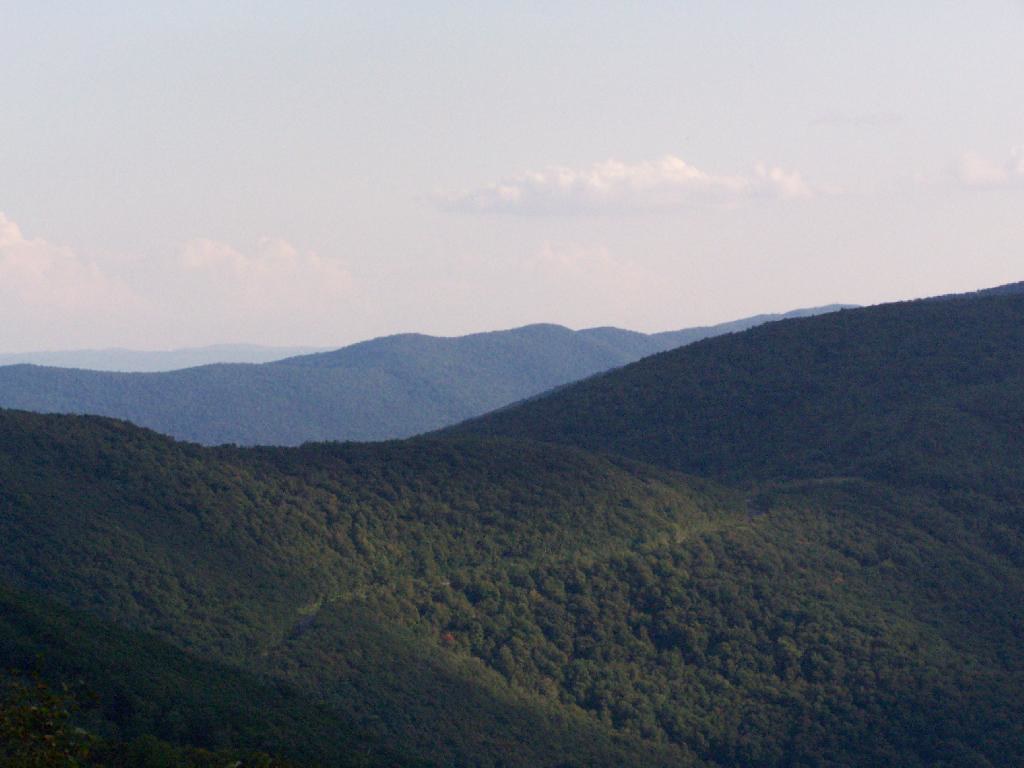 Shepherds Well TrailHiking · ~21 min drivePhoto: andyarthur, CC BY 2.0 (via Flickr)
- Champlain Valley Trail (Halfmoon to Schuylerville)Hiking · ~19 min drive
- Birch Brook TrailHiking · ~20 min drivePhoto: andyarthur, CC BY 2.0 (via Flickr)
- Valley View Trail (yellow)Hiking · ~1 min drive
- Whoop-de Do Trail (white)Hiking · ~2 min drive
- Highpoint Trail (red)Hiking · ~1 min drive
- White TrailHiking · ~7 min drive
- Ward Hollow trailHiking · ~2 min drive
- Long Trail (White)Hiking · ~9 min drive
Best time to visit Rynard's Roost Trail (blue)
Best months: June–October. Best months have typical highs of 55–85 °F, lows of 30 °F or warmer (32 °F where the station doesn't record snow), at most one snowy day and no more than 12 wet days.
Jan
30° / 14°
13 wet
Feb
32° / 16°
11 wet
Mar
41° / 23°
13 wet
Apr
55° / 35°
13 wet
May
67° / 46°
14 wet
Jun
74° / 54°
12 wet
Jul
78° / 59°
12 wet
Aug
77° / 58°
11 wet
Sep
69° / 51°
11 wet
Oct
57° / 41°
12 wet
Nov
45° / 30°
12 wet
Dec
34° / 21°
13 wet
Typical high / low (°F) and days with rain or snow, 1991–2020. Measured at Grafton, NY, 1.4 mi away at 1,560 ft. This station doesn't record snowfall. Source: NOAA NCEI U.S. Climate Normals 1991–2020.
Map and trail data © OpenStreetMap contributors
