Pillsbury Mountain Trail
- 1.6 mi
- round trip
- 1,570 ft
- climb
- 3,601 ft
- high point
- Out and back
- route
Pillsbury Mountain Trail is a moderate out-and-back hike in the West Canada Lake Wilderness of New York, on land managed by the State Department of Conservation. The trail runs about 1.6 miles each way, for a round trip of roughly 3.1 miles. Starting near 2,200 feet, the route tops out around 3,600 feet. That works out to about 1,460 feet of climbing one way, or about 1,570 feet over the full round trip once a small dip below the trailhead is counted. Much of the effort comes early. The steepest stretch, at about a 31 percent grade, arrives less than half a mile in, so expect a hard push before the climbing eases toward the high point. The descent retraces the same ground. French Louis Trail begins just a tenth of a mile away, and Cedar Lakes Trail and Pillsbury Lake-Cedar Lakes Trail lie within about 3 miles for longer outings. Climbers can head to Lake Pleasant Quarry, about 9 miles off.
Local outfitters
- Great Camp Sagamore14 mi away
- Cloudsplitter Outfitters32 mi away
Not on Roamze yet. Their page has how to reach them.
Keep exploring — more trails worth the drive
 Photo: ke9tv, CC BY-SA 2.0 (via Flickr)
Lost Pond Trail
~7 min drive
2.44-mile point-to-point trail in New York with 515 ft elevation gain.
 Photo: bobistraveling, CC BY 2.0 (via Flickr)
Sucker Brook Trail
~11 min drive
14.02-mile out-and-back hike in New York with 2,322 ft elevation gain
 Photo: ke9tv, CC BY-SA 2.0 (via Flickr)
Brook Trout Lake Trail #50
~12 min drive
6.15-mile out-and-back trail with 1,311 ft gain in New York
 Photo: Jordan Meeter, CC BY 3.0 (via Wikimedia Commons)
Fawn Lake Trail
~13 min drive
7.3-mile out-and-back hike in New York with 865 ft elevation gain and loss.
 Photo: ke9tv, CC BY-SA 2.0 (via Flickr)
Northville-Placid Trail
~11 min drive
1.16-mile out-and-back trail in New York with 265 ft elevation gain
HIKE
Pillsbury Lake Trail
~7 min drive
9.21-mile out-and-back trail with 1,059 ft gain in New York.
 Photo: Andy Arthur, CC BY 2.0 (via Wikimedia Commons)
Elm Lake Rd
~14 min drive
7.87-mile out-and-back trail on Elm Lake Rd in New York
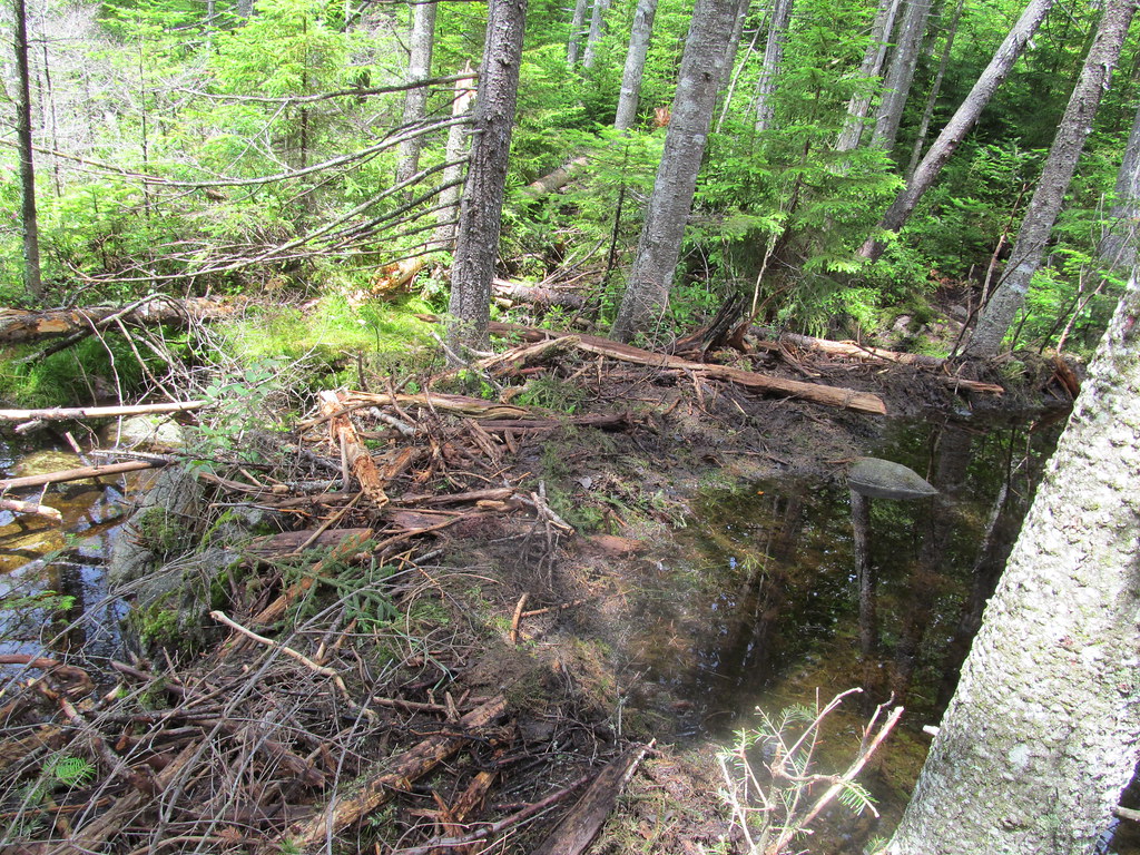 Photo: ke9tv, CC BY-SA 2.0 (via Flickr)
West Lake Trail
~12 min drive
2.02-mile out-and-back trail with 624 ft gain in New York.
HIKE
Otter Brook Trail
~10 min drive
12.52-mile out-and-back trail in New York with 1,395 ft elevation gain
 Photo: Andy Arthur, CC BY 2.0 (via Wikimedia Commons)
Wakely Mountain Trail
~17 min drive
5.64-mile out-and-back trail in New York with 1,836 ft gain and 3,747 ft max elevation.
Route details
- Distance
- 1.6 mi round trip
- Climbing
- About 1,570 ft
- Summit
- 3,604 ft
- Difficulty
- Moderate
- Time
- About 1.5 hours
Questions about this route
How long is the Pillsbury Mountain Trail on Pillsbury Mountain?
About 1.6 mi round trip.
How much elevation gain is on the Pillsbury Mountain Trail?
About 1,570 ft of climbing round trip.
How hard is the Pillsbury Mountain Trail?
It is rated moderate.
How long does the Pillsbury Mountain Trail take?
About 1.5 hours round trip.
Conditions and forecast on Pillsbury Mountain
Daily highs and lows, wind and the chance of precipitation at the summit and route start for the next 7 days, from the Open-Meteo model.
Map and trail data © OpenStreetMap contributors
