Mulvihill Preserve Trail
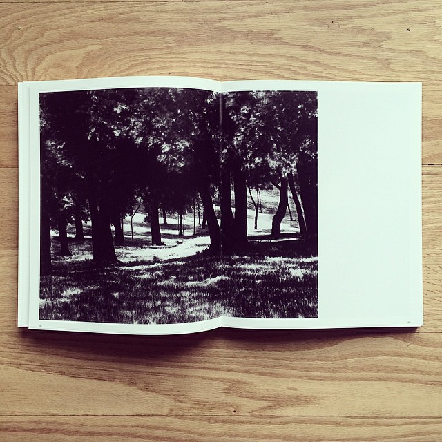 Photo: diametrik, CC BY 2.0 (via Flickr)
- 3.4 mi
- round trip
- 550 ft
- climb
- 228 ft
- high point
- Out and back
- route
- Apr–Oct
- best months
Mulvihill Preserve Trail is a 3.4-mile hike in New York, about 1.2 miles from the town of Redwood. It is a moderate out-and-back route that covers roughly 6.8 miles round trip, with a total climb of about 550 feet. The trail rises steadily from a low point of 172 feet to a high of 228 feet, and the steepest stretch comes at about 0.77 miles in, with a grade of about 6 percent. Summer and early fall are the most comfortable times to go. Typical averages from the nearby Bridgehampton weather station show July highs around 81°F and September highs around 73°F, with fewer wet days than the rest of the year. Several other trails sit close by. Round Pond Trail is about 0.9 miles away, Long Pond Greenbelt Trail is about 1.1 miles away, and Bridge Hill Path, a mountain biking route, is about a mile off. East Hampton to Sag Harbor Trail is about 2.3 miles away.
- Round Pond TrailHiking0.9 mi
- Bridge Hill PathMountain biking1 mi
 Long Pond Greenbelt TrailHikingPhoto: innuendo, CC BY 2.0 (via Flickr)1.1 mi
 Old Noyac PathHikingPhoto: Skellig2008, CC BY 2.0 (via Flickr)2 mi
- Northwest PathHiking2.1 mi
- East Hampton to Sag Harbor TrailHiking2.3 mi
 Clam Island TrailHikingPhoto: david.orban, CC BY 2.0 (via Flickr)2.8 mi
- Long IslandRock climbing8 mi
Source: Roamze catalog (indexable pages within 10 miles, PostGIS distance)
- Long Pond Greenbelt TrailHiking · ~2 min drivePhoto: innuendo, CC BY 2.0 (via Flickr)
- East Hampton to Sag Harbor TrailHiking · ~4 min drive
- Mannorville Hills Mountain Bike TrailHiking · ~40 min drive
- Old Noyac PathHiking · ~3 min drivePhoto: Skellig2008, CC BY 2.0 (via Flickr)
- Southampton Bay to Ocean TrailHiking · ~9 min drive
- Clam Island TrailHiking · ~5 min drivePhoto: david.orban, CC BY 2.0 (via Flickr)
- Springs to Amagansett TrailHiking · ~15 min drive
 beach walkHiking · ~5 min drivePhoto: Bobby17543, CC BY-SA 3.0 (via Wikimedia Commons)
- Toppings PathHiking · ~39 min drive
 White TrailHiking · ~37 min drivePhoto: oinonio, CC BY-SA 2.0 (via Flickr)
Best time to visit Mulvihill Preserve Trail
Best months: April–October. Best months have typical highs of 55–85 °F, lows of 30 °F or warmer (32 °F where the station doesn't record snow), at most one snowy day and no more than 12 wet days.
Jan
38° / 23°
10 wet · 3 snow
Feb
40° / 24°
10 wet · 3 snow
Mar
46° / 30°
10 wet · 2 snow
Apr
55° / 38°
11 wet
May
65° / 47°
11 wet
Jun
75° / 57°
9 wet
Jul
81° / 63°
8 wet
Aug
80° / 62°
8 wet
Sep
73° / 56°
8 wet
Oct
63° / 45°
9 wet
Nov
53° / 36°
10 wet
Dec
44° / 28°
10 wet · 2 snow
Typical high / low (°F) and days with rain or snow, 1991–2020. Measured at Bridgehampton, NY, 2.1 mi away at 42 ft. Source: NOAA NCEI U.S. Climate Normals 1991–2020.
Map and trail data © OpenStreetMap contributors
