Hudson River Skywalk
 Photo: Camp Harrigan, CC BY 3.0 (via Wikimedia Commons)
- 3.1 mi
- one way
- 416 ft
- climb
- 481 ft
- high point
- Point to point
- route
- Apr–Oct
- best months
The Hudson River Skywalk is a 3.1-mile point-to-point hike in New York, about 1.5 miles from the town of Hamburg. It is an easy walk with a total elevation gain of 416 feet, and the route is rolling rather than steep, with the steepest stretch at about 0.88 miles in. The hike starts at an elevation of 256 feet and reaches a high point of 481 feet. The climb is not a single push, and the route also has a total loss of 288 feet, so it is a balanced walk rather than a steady ascent. For comfortable weather, late spring and early fall are the best bets. Typical averages from a nearby weather station show May highs around 74°F and September highs around 75°F, while July averages about 85°F and January highs sit near 35°F. The Hudson Valley Greenway Trail (Olana to Hudson) lies about half a mile away, and the Hudson Valley Greenway Trail (Hudson to Kinderhook) is about 4.5 miles off. Cedar Park Cemetery, a climbing area, is about 3 miles away, and Claverack Creek offers paddling about 8 miles from the trail.
Local outfitters
- Catskill Outfitters27 mi away
Not on Roamze yet. Their page has how to reach them.
Conditions and forecast on Church Hill
Daily highs and lows, wind and the chance of precipitation at the summit and route start for the next 7 days, from the Open-Meteo model.
- Hudson Valley Greenway Trail (Olana to Hudson)HikingPhoto: Camp Harrigan, CC BY 3.0 (via Wikimedia Commons)0.5 mi
- Cedar Park CemeteryRock climbing3 mi
- Hudson Valley Greenway Trail (Hudson to Kinderhook)Hiking4.5 mi
- Blue TrailHiking5.6 mi
- Path of Light (Light Purple)Hiking6.4 mi
 Claverack CreekCanoeingPhoto: Rreu, CC BY 3.0 (via Wikimedia Commons)8 mi
- Hudson River Greenway Water TrailCanoeing8.4 mi
Source: Roamze catalog (indexable pages within 10 miles, PostGIS distance)
- Hudson Valley Greenway Trail (Olana to Hudson)Hiking · Next doorPhoto: Camp Harrigan, CC BY 3.0 (via Wikimedia Commons)
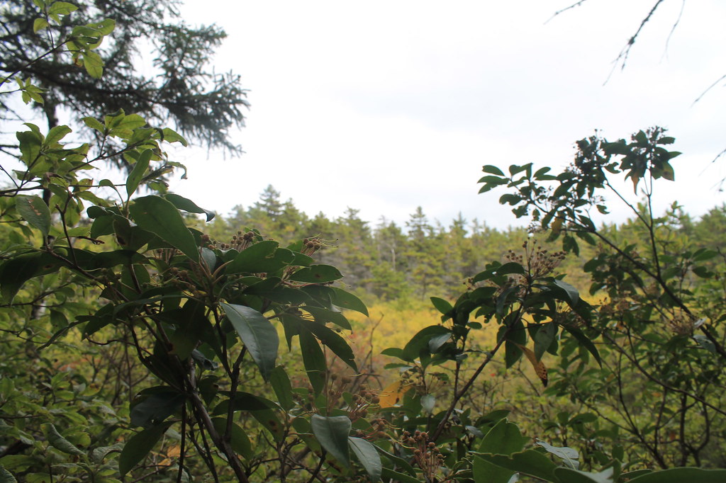 Rock Shelter TrailHiking · ~19 min drivePhoto: andyarthur, CC BY 2.0 (via Flickr)
 Twilight Park TrailHiking · ~24 min drivePhoto: Alexander Gude, CC BY-SA 3.0 (via Wikimedia Commons)
 Rip's Ledge trailHiking · ~18 min drivePhoto: Steve Shook from Moscow, Idaho, USA, CC BY 2.0 (via Wikimedia Commons)
 Yankee Smith TrailHiking · ~19 min drivePhoto: Steve Shook from Moscow, Idaho, USA, CC BY 2.0 (via Wikimedia Commons)
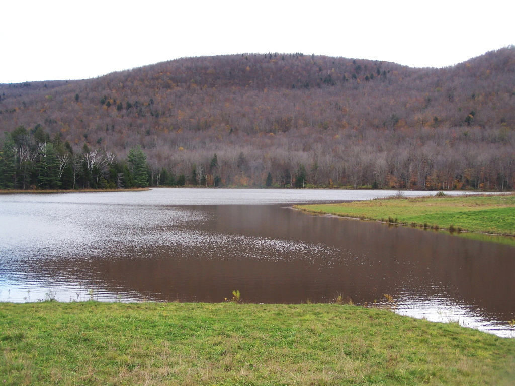 Colgate Lake TrailHiking · ~26 min drivePhoto: andyarthur, CC BY 2.0 (via Flickr)
- Winter Clove Falls trailHiking · ~18 min drivePhoto: Steve Shook from Moscow, Idaho, USA, CC BY 2.0 (via Wikimedia Commons)
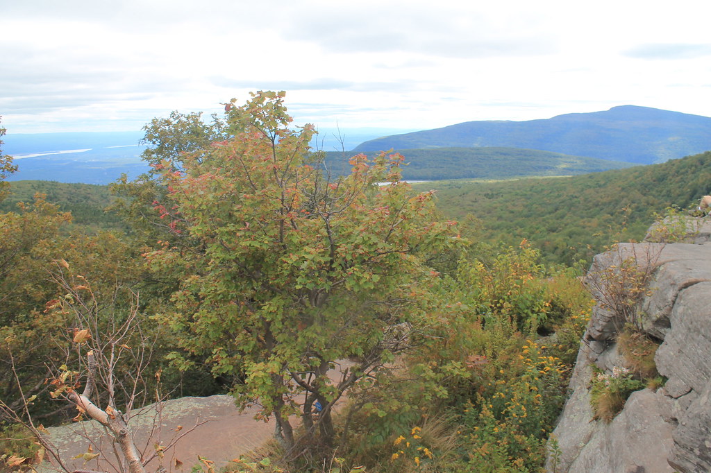 Mary's Glen TrailHiking · ~19 min drivePhoto: andyarthur, CC BY 2.0 (via Flickr)
 Devil's PathHiking · ~26 min drivePhoto: New York Public Library, No restrictions (via Wikimedia Commons)
- Stoppel Point Trail (red)Hiking · ~19 min drivePhoto: Steve Shook from Moscow, Idaho, USA, CC BY 2.0 (via Wikimedia Commons)
Best time to visit Hudson River Skywalk
Best months: April–October. Best months have typical highs of 55–85 °F, lows of 30 °F or warmer (32 °F where the station doesn't record snow), at most one snowy day and no more than 12 wet days.
Jan
35° / 18°
8 wet
Feb
38° / 19°
8 wet
Mar
48° / 28°
9 wet
Apr
63° / 38°
10 wet
May
74° / 49°
12 wet
Jun
81° / 58°
11 wet
Jul
85° / 63°
11 wet
Aug
83° / 61°
10 wet
Sep
75° / 54°
9 wet
Oct
64° / 43°
10 wet
Nov
51° / 33°
9 wet
Dec
40° / 25°
9 wet
Typical high / low (°F) and days with rain or snow, 1991–2020. Measured at Hudson Correctional Facility, NY, 2.4 mi away at 30 ft. This station doesn't record snowfall. Source: NOAA NCEI U.S. Climate Normals 1991–2020.
Route details
- Distance
- 3.1 mi
- Climbing
- About 416 ft
- Summit
- 483 ft
- Difficulty
- Easy
- Time
- About 1 hour
Questions about this route
How long is the Hudson River Skywalk on Church Hill?
About 3.1 mi.
How much elevation gain is on the Hudson River Skywalk?
About 416 ft of climbing round trip.
How hard is the Hudson River Skywalk?
It is rated easy.
How long does the Hudson River Skywalk take?
About 1 hour round trip.
Map and trail data © OpenStreetMap contributors
