Erie Canal Towpath Park
New York
Free — you'll pick up right here.
0.7 mi
Distance
40 ft
Gain
14 min
Time
We don't cover this trail yet
No agency boundary, access route or field report is mapped to it — so there is no verdict, and we won't guess. We'll tell you the moment this trail has something to say.
Covered nearby
Trails within 25 miles where we do have a current picture.
Nobody's filed a report here yet — be the first.
Why you'll love it
Here's your day, mapped
Erie Canal Towpath Park
Suggested plan · check conditions before you go
Meals
Gear for the day
Elevation & route
- Distance
- 0.7 mi
- Elevation gain
- 40 ft
- Elevation loss
- 40 ft
- Highest point
- 426 ft
- Lowest point
- 417 ft
Photos
Directions & GPX
Permits & access
- Managing agency
- State Park and Recreation
- Bikes
- yes
About this trail
This short out-and-back trail follows the historic Erie Canal Towpath in New York, offering a leisurely walk along one of America's most significant engineering achievements. The flat, accessible path provides excellent views of the canal and surrounding landscape, making it ideal for families and casual walkers. This gentle route is perfect for those wanting to explore New York's canal heritage without a strenuous hike.
Add to a trip & share
Keep exploring — more trails worth the drive
 Photo: Russ Nelson, CC BY-SA 2.0 (via Flickr)
Erie Canal - Broad St To State Rte 31 Near Canastota
~11 min drive
4.52-mile out-and-back trail on Erie Canal from Broad St to State Rte 31 near Canastota, New York
 Photo: Russ Nelson, CC BY-SA 2.0 (via Flickr)
Canal Trail (Breia)
~32 min drive
13.62-mile out-and-back trail in New York with 586 ft gain.
 Photo: edt11x, CC BY 2.0 (via Flickr)
Old Growth Trail
~37 min drive
0.45-mile out-and-back hike in New York with 53 ft gain and 170 ft loss.
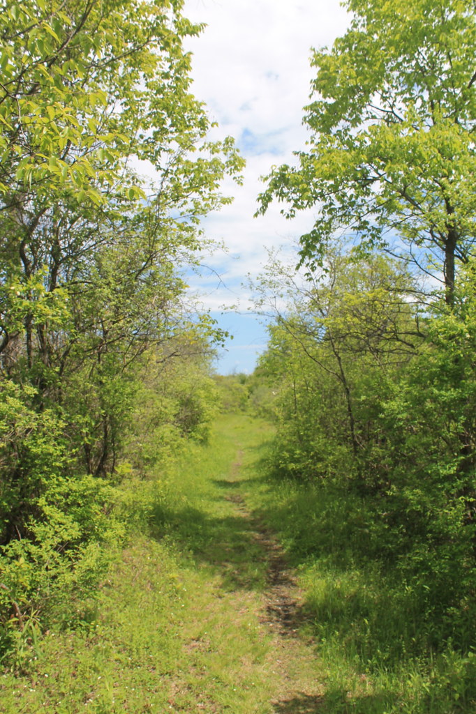 Photo: andyarthur, CC BY 2.0 (via Flickr)
Link Trail
~41 min drive
Demanding 15.8-mile out-and-back trail in New York for experienced hikers.
 Photo: Russ Nelson, CC BY-SA 2.0 (via Flickr)
Erie Canalway Trail
~11 min drive
2.9-mile out-and-back on the Erie Canalway in New York with 52 ft elevation gain
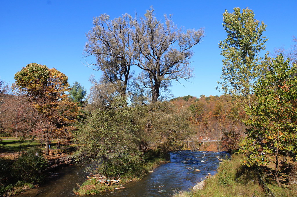 Photo: andyarthur, CC BY 2.0 (via Flickr)
Lehigh Valley Railroad (Link Trail)
~34 min drive
14.29-mile out-and-back trail in New York with 892 ft gain
Erie Canalway Trail (Chittenango to Erie Canal Lock 21)
~19 min drive
6.44-mile point-to-point trail from Chittenango to Erie Canal Lock 21 in New York.
Clark Hill to Rome
~33 min drive
15-mile out-and-back trail connecting Clark Hill and Rome in New York's Mohawk Valley.
Photo: andyarthur, CC BY 2.0 (via Flickr)Gorge Trail - Link Trail
~34 min drive
4.78-mile out-and-back hike in New York with 957 ft gain
Erie Canalway Trail (Rome to Utica)
~13 min drive
16.49-mile point-to-point trail from Rome to Utica, New York.

