Eignor Trail
- 1.2 mi
- one way
- 236 ft
- climb
- 2,209 ft
- high point
- Point to point
- route
- Sep
- best months
Eignor Trail is a short, easy hike in New York's Shandaken Wild Forest, managed by the State Department of Conservation. It covers about 1.2 miles with a total climb of 236 feet, and its high point sits at 2,209 feet. The trail is a point-to-point route, so it works well as a quick outing rather than a loop. The State Department of Conservation manages the land, and the trail is open year-round. Bikes and horses are both allowed, which makes it a practical choice for riders or for a visit on horseback. Summer is the most comfortable time to go. Typical averages from the Slide Mtn weather station, about 8 miles away, show July highs around 74°F with lows near 56°F, while winter highs stay in the 20s and 30s. The Colonel Rochester Trail and Burroughs Memorial Trail both start about 0.3 miles away, and the Belleayre Beach Trail is about 1.9 miles off. For climbing, Phoenicia, Sportsman's Wall is roughly 7.8 miles away.
Local outfitters
- Catskill Outfitters9 mi away
Not on Roamze yet. Their page has how to reach them.
Best time to go · Sep
Best time to visit Eignor Trail
Best months: September. Best months have typical highs of 55–85 °F, lows of 30 °F or warmer (32 °F where the station doesn't record snow), at most one snowy day and no more than 12 wet days.
Jan
28° / 12°
16 wet
Feb
30° / 13°
14 wet
Mar
38° / 20°
15 wet
Apr
51° / 31°
13 wet
May
62° / 43°
15 wet
Jun
69° / 51°
14 wet
Jul
74° / 56°
13 wet
Aug
73° / 54°
13 wet
Sep
67° / 48°
12 wet
Oct
55° / 38°
14 wet
Nov
43° / 28°
13 wet
Dec
32° / 19°
16 wet
Typical high / low (°F) and days with rain or snow, 1991–2020. Measured at Slide Mtn, NY, 8.4 mi away at 2,650 ft. This station doesn't record snowfall. Source: NOAA NCEI U.S. Climate Normals 1991–2020.
Keep exploring — more trails worth the drive
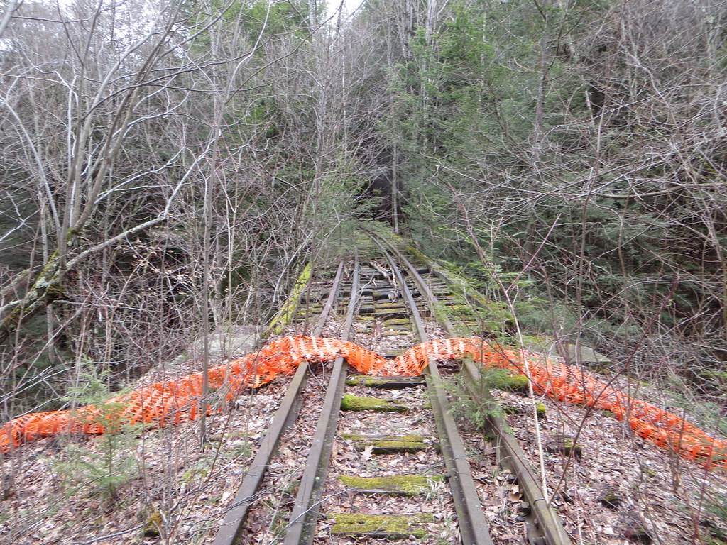 Photo: Russ Nelson, CC BY-SA 2.0 (via Flickr)
Belleayre Beach Trail
~3 min drive
0.82-mile point-to-point trail in New York with 599 ft gain
 Photo: Russ Nelson, CC BY-SA 2.0 (via Flickr)
Pine Hill - West Branch Trail
~5 min drive
13.53-mile point-to-point trail in New York with 2,475 ft gain and 4,102 ft loss.
Photo: Russ Nelson, CC BY-SA 2.0 (via Flickr)Lost Clove Trail
~5 min drive
1.26-mile point-to-point trail in New York with 1,400 ft elevation loss
 Photo: cm195902, CC BY 2.0 (via Flickr)
Dry Brook Ridge Trail
~18 min drive
23.96-mile out-and-back trail in New York with 5,199 ft elevation gain/loss
 Photo: Russ Nelson, CC BY-SA 2.0 (via Flickr)
Garretson Ridge
~4 min drive
2.34-mile out-and-back trail in New York with 578 ft gain/loss.
 Photo: ke9tv, CC BY-SA 2.0 (via Flickr)
Herd Path
~9 min drive
2.16-mile out-and-back trail in New York with 1,191 ft elevation gain
HIKE
Oliverea-Mapledale Trail - red
~8 min drive
5.74-mile out-and-back trail in New York with 2,657 ft elevation gain
HIKE
Sherrill and North Dome Herd Path
~4 min drive
7.72-mile out-and-back trail in New York with 3,493 ft elevation gain.
Photo: Russ Nelson, CC BY-SA 2.0 (via Flickr)Giggle Hollow Trail
~5 min drive
1.79-mile point-to-point trail in New York with 466 ft gain and 1,706 ft loss.
Photo: cm195902, CC BY 2.0 (via Flickr)Graham Mountain Herd Path
~16 min drive
1.93-mile out-and-back trail in New York with 838 ft gain
Map and trail data © OpenStreetMap contributors
