Dishmill Creek Trail
 Photo: andyarthur, CC BY 2.0 (via Flickr)
- 1.3 mi
- round trip
- 733 ft
- climb
- 1,092 ft
- high point
- Out and back
- route
- Jun–Sep
- best months
Dishmill Creek Trail is a short, easy hike in Letchworth State Park in New York, managed by State Park and Recreation. The trail is about 1.27 miles long, and the round trip adds up to about 2.5 miles with a total climb of about 733 feet. The route starts and ends at roughly 1,092 feet, and the steepest stretch comes around the 1.1-mile mark, where the grade reaches about 18%. Summer is the most comfortable time to go. Typical averages from a nearby weather station show July highs around 81°F with lows near 60°F, while September cools to highs around 73°F. Several other trails sit close by. Bluejay Trail is about 0.6 miles away, and Letchworth Trail, Trillium Trail and Big Bend Trail are all within about 1.5 miles.
Best time to go · Jun–Sep
Best time to visit Dishmill Creek Trail
Best months: June–September. Best months have typical highs of 55–85 °F, lows of 30 °F or warmer (32 °F where the station doesn't record snow), at most one snowy day and no more than 12 wet days.
Jan
31° / 15°
15 wet
Feb
34° / 17°
12 wet
Mar
42° / 24°
12 wet
Apr
56° / 35°
13 wet
May
69° / 47°
13 wet
Jun
77° / 56°
12 wet
Jul
81° / 60°
12 wet
Aug
79° / 58°
11 wet
Sep
73° / 51°
11 wet
Oct
60° / 41°
13 wet
Nov
48° / 32°
12 wet
Dec
37° / 23°
14 wet
Typical high / low (°F) and days with rain or snow, 1991–2020. Measured at Mt Morris 2 W, NY, 10.6 mi away at 880 ft. This station doesn't record snowfall. Source: NOAA NCEI U.S. Climate Normals 1991–2020.
Keep exploring — more trails worth the drive
Photo: andyarthur, CC BY 2.0 (via Flickr)Bluejay Trail
Next door
0.38-mile point-to-point trail in New York with 1,024 ft gain.
 Photo: javajoe6, CC BY-SA 3.0 (via Wikimedia Commons)
Smokey Hollow Trail
~9 min drive
2.42-mile point-to-point trail in New York with 811 ft elevation gain
HIKE
Groveland Secondary Trail
~31 min drive
21.56-mile out-and-back trail in New York with 783 ft elevation gain
 Photo: andyarthur, CC BY 2.0 (via Flickr)
Dishmill Creek Trail
~1 min drive
Easy out-and-back creek walk through New York forest.
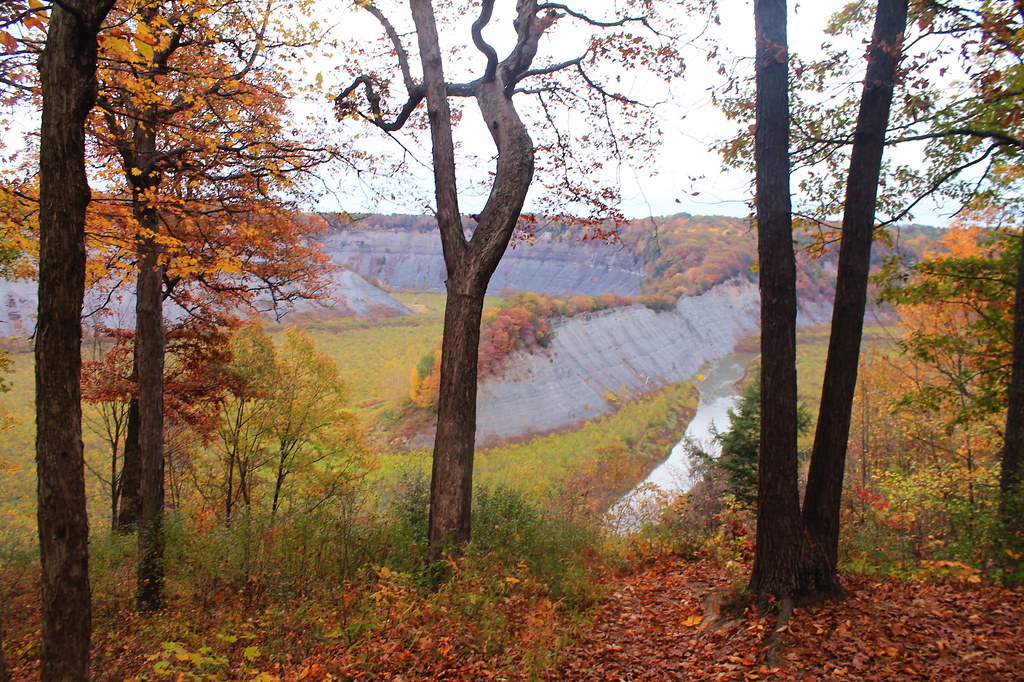 Photo: andyarthur, CC BY 2.0 (via Flickr)
Kisil Point Trail
~14 min drive
2.14-mile out-and-back hike in New York with 952 ft gain/loss
HIKE
Groveland Secondary Trail
~41 min drive
18.64-mile out-and-back trail in New York with 873 ft elevation gain
Photo: andyarthur, CC BY 2.0 (via Flickr)Dishmill Creek Trail
~2 min drive
0.39-mile out-and-back trail in New York with 30 ft gain and 335 ft loss.
HIKE
10-Yellow Trail
~33 min drive
5.32-mile loop in New York with 761 ft elevation gain
Photo: andyarthur, CC BY 2.0 (via Flickr)Letchworth Trail
~2 min drive
24.69-mile point-to-point trail in New York with 1,639 ft elevation gain and 4,174 ft loss.
HIKE
11-Yellow Trail
~33 min drive
5.05-mile loop in New York with 807 ft gain and 801 ft loss.

Map and trail data © OpenStreetMap contributors
