Daniel P. Davison Trail
- 1.6 mi
- one way
- 26 ft
- climb
- 241 ft
- high point
- Point to point
- route
- Apr–Oct
- best months
Clear today
Weather is good · OpenWeather · checked 6 h ago
The Daniel P. Davison Trail is a short, easy hike of about 1.6 miles on Uplands Farm in New York, a property managed by a non-governmental organization. The route is a point-to-point walk with a low elevation gain of about 26 feet, so it's a gentle outing rather than a climb. The trail starts at roughly 230 feet and reaches a high point of about 241 feet. The steepest stretch comes at about 0.45 miles in, with a grade of about 7 percent. The whole trip is easy to fit into a short visit, and the trail is open year-round. For comfortable weather, late spring and early fall are the best bets. Typical averages from a nearby weather station in Centerport, NY, show May highs around 70°F and September highs around 74°F, with July the warmest month at about 83°F. The West Loop Trail and the Nassau Suffolk Greenbelt Trail both lie about 0.4 miles away, and the Augusta Reese Donohue Trail is about 1.4 miles off. The CLIMB Black Trail "Orange Blazes" is about 1.5 miles away.
Local outfitters
- Pier 13 Hoboken31 mi away
Not on Roamze yet. Their page has how to reach them.
- West Loop TrailHiking0.4 mi
- Nassau Suffolk Greenbelt TrailHiking0.4 mi
- Augusta Reese Donohue TrailHiking1.4 mi
 CLIMB Black Trail "Orange Blazes"HikingPhoto: Russ Nelson, CC BY-SA 2.0 (via Flickr)1.5 mi
 CLIMB Black Trail "Pink Blazes"HikingPhoto: gingi0, CC BY 2.0 (via Flickr)1.7 mi
- CLIMB Blue TrailHikingPhoto: Russ Nelson, CC BY-SA 2.0 (via Flickr)1.8 mi
- CLIMB Black Trail "Purple Blazes"HikingPhoto: gingi0, CC BY 2.0 (via Flickr)1.9 mi
- Old Sierra Club LoopHikingPhoto: gingi0, CC BY 2.0 (via Flickr)1.9 mi
Source: Roamze catalog (indexable pages within 10 miles, PostGIS distance)
- CLIMB Black Trail "Orange Blazes"Hiking · ~3 min drivePhoto: Russ Nelson, CC BY-SA 2.0 (via Flickr)
- Yellow TrailHiking · ~9 min drive
- CLIMB Black Trail "Pink Blazes"Hiking · ~3 min drivePhoto: gingi0, CC BY 2.0 (via Flickr)
- CLIMB Blue TrailHiking · ~3 min drivePhoto: Russ Nelson, CC BY-SA 2.0 (via Flickr)
- CLIMB Black Trail "Purple Blazes"Hiking · ~3 min drivePhoto: gingi0, CC BY 2.0 (via Flickr)
- Old Sierra Club LoopHiking · ~3 min drivePhoto: gingi0, CC BY 2.0 (via Flickr)
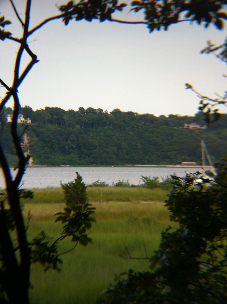 Sagamore Hill Nature TrailHiking · ~5 min drivePhoto: michaelseangallagher, CC BY-SA 2.0 (via Flickr)
 Rocky Beach TrailHiking · ~9 min drivePhoto: U. S. Fish and Wildlife Service - Northeast Region, Public Domain Mark (via Flickr)
- Gardener's Path TrailHiking · ~9 min drivePhoto: U. S. Fish and Wildlife Service - Northeast Region, Public Domain Mark (via Flickr)
 Red TrailHiking · ~10 min drivePhoto: karendotcom127, CC BY 2.0 (via Flickr)
Best time to visit Daniel P. Davison Trail
Best months: April–October. Best months have typical highs of 55–85 °F, lows of 30 °F or warmer (32 °F where the station doesn't record snow), at most one snowy day and no more than 12 wet days.
Jan
38° / 24°
Feb
40° / 25°
Mar
47° / 31°
Apr
60° / 41°
May
70° / 50°
Jun
78° / 60°
Jul
83° / 66°
Aug
81° / 65°
Sep
74° / 59°
Oct
63° / 49°
Nov
52° / 39°
Dec
43° / 31°
Typical high / low (°F) and days with rain or snow, 1991–2020. Measured at Centerport, NY, 4.5 mi away at 30 ft. This station doesn't record snowfall. Source: NOAA NCEI U.S. Climate Normals 1991–2020.
Map and trail data © OpenStreetMap contributors
