Cedar Lakes Trail
- 2.6 mi
- one way
- 238 ft
- climb
- 2,556 ft
- high point
- Point to point
- route
Cedar Lakes Trail is a 2.6-mile point-to-point hike in New York's West Canada Lake Wilderness, managed by the State Department of Conservation. The route is rated easy, with a total elevation gain of 238 feet from a low point of 2,382 feet to a high of 2,556 feet. It is a short walk, but the steepest stretch comes early, at about 0.16 miles in, where the grade reaches 12 percent. Summer is the most comfortable time to go. Typical averages from a nearby weather station at Indian Lake run to highs around 75°F in July and 73°F in August, and the trail sits higher than that station, so temperatures here run cooler. Pillsbury Mountain Trail and French Louis Trail both lie about 1.5 miles away, and Pillsbury Lake-Cedar Lakes Trail is about 2 miles off. For climbing, Snowy Mt is roughly 9 miles away.
Local outfitters
- Great Camp Sagamore13 mi away
- Cloudsplitter Outfitters31 mi away
Not on Roamze yet. Their page has how to reach them.
Best time to go
Best time to visit Cedar Lakes Trail
No month here meets our mild-weather rule. Best months have typical highs of 55–85 °F, lows of 30 °F or warmer (32 °F where the station doesn't record snow), at most one snowy day and no more than 12 wet days.
Jan
25° / 6°
17 wet
Feb
28° / 7°
14 wet
Mar
36° / 15°
14 wet
Apr
49° / 28°
14 wet
May
63° / 40°
16 wet
Jun
71° / 49°
15 wet
Jul
75° / 54°
15 wet
Aug
73° / 53°
13 wet
Sep
67° / 45°
13 wet
Oct
54° / 35°
16 wet
Nov
41° / 25°
16 wet
Dec
31° / 14°
17 wet
Typical high / low (°F) and days with rain or snow, 1991–2020. Measured at Indian Lake 2sw, NY, 15.4 mi away at 1,670 ft. The station sits about 900 ft lower than this place, so expect it a little cooler here. This station doesn't record snowfall. Source: NOAA NCEI U.S. Climate Normals 1991–2020.
Keep exploring — more trails worth the drive
 Photo: ke9tv, CC BY-SA 2.0 (via Flickr)
Lost Pond Trail
~5 min drive
2.44-mile point-to-point trail in New York with 515 ft elevation gain.
 Photo: ke9tv, CC BY-SA 2.0 (via Flickr)
Brook Trout Lake Trail #50
~10 min drive
6.15-mile out-and-back trail with 1,311 ft gain in New York
 Photo: bobistraveling, CC BY 2.0 (via Flickr)
Sucker Brook Trail
~11 min drive
14.02-mile out-and-back hike in New York with 2,322 ft elevation gain
 Photo: Jordan Meeter, CC BY 3.0 (via Wikimedia Commons)
Fawn Lake Trail
~15 min drive
7.3-mile out-and-back hike in New York with 865 ft elevation gain and loss.
 Photo: ke9tv, CC BY-SA 2.0 (via Flickr)
Northville-Placid Trail
~10 min drive
1.16-mile out-and-back trail in New York with 265 ft elevation gain
HIKE
French Louis Trail
~3 min drive
8.34-mile out-and-back trail in New York with 1,183 ft elevation gain.
HIKE
Pillsbury Lake Trail
~6 min drive
9.21-mile out-and-back trail with 1,059 ft gain in New York.
 Photo: Andy Arthur, CC BY 2.0 (via Wikimedia Commons)
Wakely Mountain Trail
~15 min drive
5.64-mile out-and-back trail in New York with 1,836 ft gain and 3,747 ft max elevation.
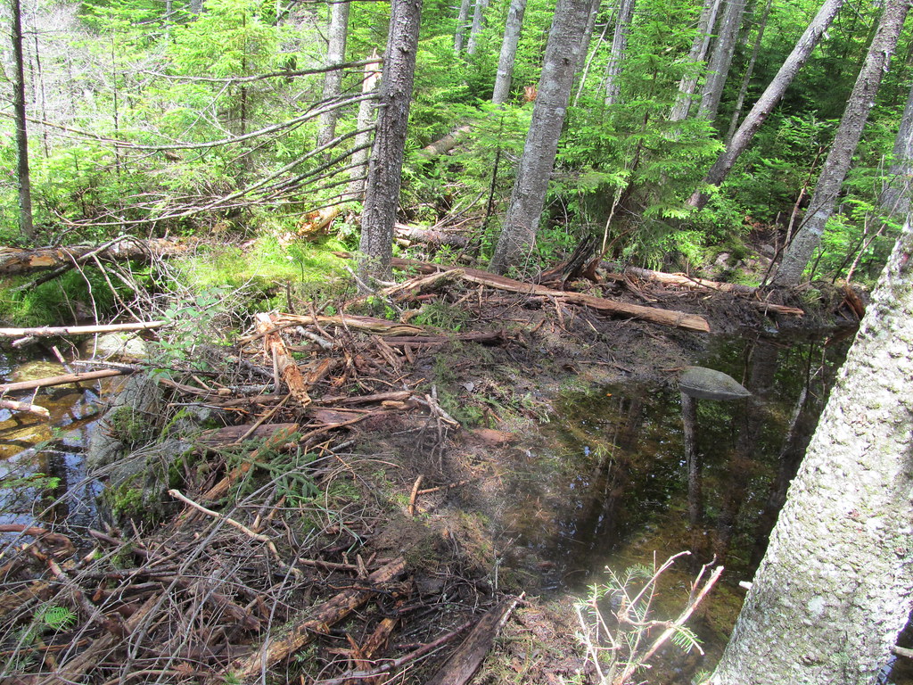 Photo: ke9tv, CC BY-SA 2.0 (via Flickr)
West Lake Trail
~11 min drive
2.02-mile out-and-back trail with 624 ft gain in New York.
HIKE
Otter Brook Trail
~8 min drive
12.52-mile out-and-back trail in New York with 1,395 ft elevation gain
Map and trail data © OpenStreetMap contributors
