Brooktrout Lake Trail
- 5.1 mi
- round trip
- 1,897 ft
- climb
- 2,637 ft
- high point
- Out and back
- route
Clear today
Weather is good · OpenWeather · checked just now
Brooktrout Lake Trail is a 5.1-mile moderate hike in the West Canada Lake Wilderness of New York, managed by the State Department of Conservation. The nearest town is Herkimer Landing, about 10 miles away. The trail is an out-and-back that climbs steadily from a starting point at about 2,422 feet to a high point of 2,637 feet. The total round-trip gain is 1,897 feet, and the steepest stretch comes at about 3.7 miles in, with a grade of 18 percent. Summer is the most comfortable time to go. Typical averages from a nearby weather station at Big Moose show July highs around 79°F and lows near 54°F, while winter brings frequent snow days and highs in the 20s. Several other trails sit close by. Brook Trout Lake Trail #50 and West Lake Trail are each about 1.6 miles away, the Northville-Placid Trail is about 2.4 miles away, and Pillsbury Lake Trail is about 4.8 miles away.
Local outfitters
- Great Camp Sagamore11 mi away
- Cloudsplitter Outfitters36 mi away
Not on Roamze yet. Their page has how to reach them.
 Brook Trout Lake Trail #50HikingPhoto: ke9tv, CC BY-SA 2.0 (via Flickr)1.6 mi
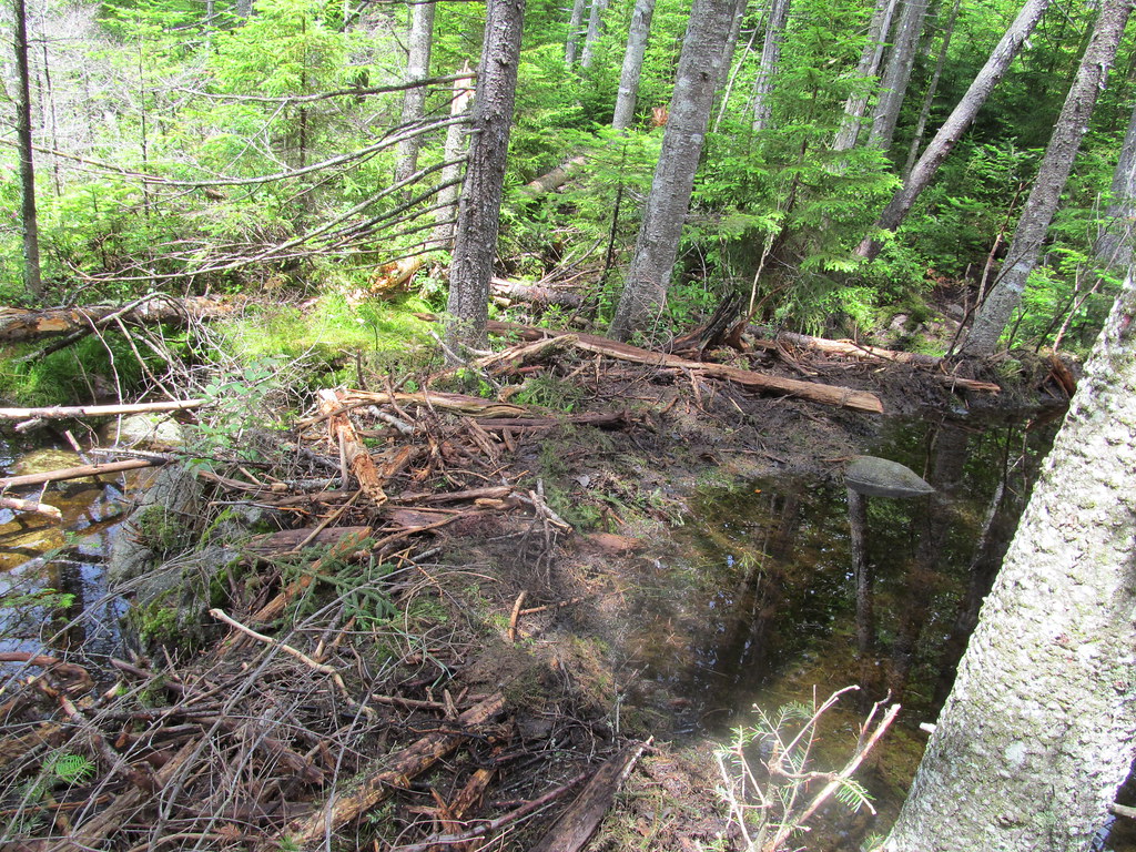 West Lake TrailHikingPhoto: ke9tv, CC BY-SA 2.0 (via Flickr)1.6 mi
 Northville-Placid TrailHikingPhoto: ke9tv, CC BY-SA 2.0 (via Flickr)2.4 mi
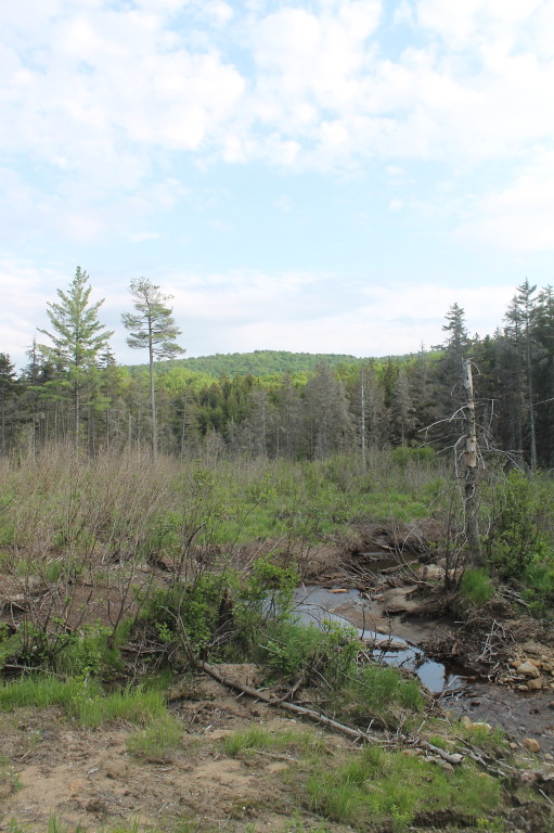 Brook Trout Lake Trail, #50 To West LakeHikingPhoto: andyarthur, CC BY 2.0 (via Flickr)3.5 mi
- Pillsbury Lake TrailHiking4.8 mi
- Whitney Lake-Cedar Lakes TrailHiking4.8 mi
- French Louie-Whitney Lake TrailHiking4.8 mi
 Lost Pond TrailHikingPhoto: ke9tv, CC BY-SA 2.0 (via Flickr)5.7 mi
Source: Roamze catalog (indexable pages within 10 miles, PostGIS distance)
- Brook Trout Lake Trail #50Hiking · ~3 min drivePhoto: ke9tv, CC BY-SA 2.0 (via Flickr)
- West Lake TrailHiking · ~3 min drivePhoto: ke9tv, CC BY-SA 2.0 (via Flickr)
 Wakely Mountain TrailHiking · ~22 min drivePhoto: Andy Arthur, CC BY 2.0 (via Wikimedia Commons)
 Sucker Brook TrailHiking · ~24 min drivePhoto: bobistraveling, CC BY 2.0 (via Flickr)
- French Louis TrailHiking · ~15 min drive
- Northville-Placid TrailHiking · ~4 min drivePhoto: ke9tv, CC BY-SA 2.0 (via Flickr)
 Black Bear Mountain TrailHiking · ~23 min drivePhoto: daveynin, CC BY 2.0 (via Flickr)
- Pillsbury Lake TrailHiking · ~8 min drive
- Brook Trout Lake Trail, #50 To West LakeHiking · ~6 min drivePhoto: andyarthur, CC BY 2.0 (via Flickr)
 Fawn Lake TrailHiking · ~23 min drivePhoto: Jordan Meeter, CC BY 3.0 (via Wikimedia Commons)
Best time to visit Brooktrout Lake Trail
No month here meets our mild-weather rule. Best months have typical highs of 55–85 °F, lows of 30 °F or warmer (32 °F where the station doesn't record snow), at most one snowy day and no more than 12 wet days.
Jan
28° / 7°
20 wet · 14 snow
Feb
31° / 6°
16 wet · 12 snow
Mar
40° / 16°
15 wet · 8 snow
Apr
54° / 29°
14 wet · 3 snow
May
68° / 41°
14 wet
Jun
75° / 50°
14 wet
Jul
79° / 54°
14 wet
Aug
78° / 53°
13 wet
Sep
71° / 46°
13 wet
Oct
58° / 35°
15 wet · 1 snow
Nov
44° / 25°
16 wet · 5 snow
Dec
33° / 14°
19 wet · 12 snow
Typical high / low (°F) and days with rain or snow, 1991–2020. Measured at Big Moose 3 Se, NY, 17.3 mi away at 1,760 ft. The station sits about 900 ft lower than this place, so expect it a little cooler here. Source: NOAA NCEI U.S. Climate Normals 1991–2020.

