Blue Trail
- 0.6 mi
- one way
- 60 ft
- climb
- 1,284 ft
- high point
- Point to point
- route
- Apr–Oct
- best months
Blue Trail is a short, easy hike in Winn Preserve in New York, a protected area managed by a non-governmental organization. The trail is 0.63 miles long, with a total elevation gain of 60 feet, and it runs from a low point of about 1,210 feet to a high of about 1,284 feet. The route is a point-to-point path rather than a loop, and the steepest stretch comes at about 0.49 miles in, with a grade of about 6 percent. The trail is best suited to a quick outing. Summer is the most comfortable time to go, with typical July highs around 81°F and lows near 59°F, based on averages from a nearby weather station. That station sits about 300 feet lower than the trail, so temperatures on the trail run a little cooler. The White Trail and Yellow Trail both start about 0.2 miles away, and the Green Trail is about 0.3 miles off. For climbers, Cave Wall is roughly 4.8 miles away.
- White TrailHiking0.2 mi
- Yellow TrailHiking0.2 mi
- Green TrailHiking0.3 mi
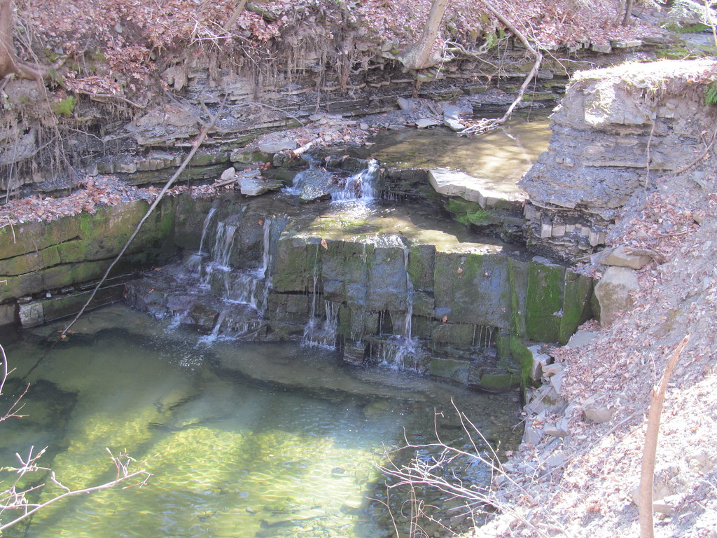 Orange TrailHikingPhoto: ke9tv, CC BY-SA 2.0 (via Flickr)2.2 mi
 Cave WallRock climbingPhoto: andyarthur, CC BY 2.0 (via Flickr)4.8 mi
- Mahican SectionRock climbingPhoto: andyarthur, CC BY 2.0 (via Flickr)4.8 mi
 Hailes Cave SouthRock climbingPhoto: andyarthur, CC BY 2.0 (via Flickr)4.9 mi
- Leaning TowerRock climbingPhoto: andyarthur, CC BY 2.0 (via Flickr)4.9 mi
Source: Roamze catalog (indexable pages within 10 miles, PostGIS distance)
Best time to visit Blue Trail
Best months: April–October. Best months have typical highs of 55–85 °F, lows of 30 °F or warmer (32 °F where the station doesn't record snow), at most one snowy day and no more than 12 wet days.
Jan
31° / 12°
Feb
34° / 13°
Mar
42° / 20°
Apr
57° / 33°
May
70° / 44°
Jun
77° / 53°
Jul
81° / 59°
Aug
80° / 56°
Sep
74° / 49°
Oct
59° / 38°
Nov
48° / 28°
Dec
36° / 19°
Typical high / low (°F) and days with rain or snow, 1991–2020. Measured at Delanson 2ne, NY, 6.2 mi away at 984 ft. This station doesn't record snowfall. Source: NOAA NCEI U.S. Climate Normals 1991–2020.
Map and trail data © OpenStreetMap contributors
