Atwell's Knoll
- 0.4 mi
- one way
- 44 ft
- climb
- 1,466 ft
- high point
- Point to point
- route
- May–Oct
- best months
Atwell's Knoll is a short, easy hike on Cazenovia Preservation Foundation Land in New York, about 0.4 miles from the town of Cazenovia. The route is a point-to-point walk of roughly 0.4 miles, with a total climb of about 44 feet from a low point of 1,401 feet to a high of 1,466 feet. The path is mostly flat, and the steepest stretch comes at about 0.24 miles in, with a grade of about 5%. Summer is the most comfortable time to go. Typical averages from a nearby weather station in Morrisville show July highs around 77°F with lows near 57°F, while winter highs stay in the 20s. Dogs and bikes are both allowed on the trail. The closest neighbors are the Gateway Trail and Sherman's Gulch Trail, each about 0.4 miles away, and the Upper Loop at about 0.8 miles. Green Lakes State Park, a climbing area, lies about 9.6 miles off.
Best time to go · May–Oct
Best time to visit Atwell's Knoll
Best months: May–October. Best months have typical highs of 55–85 °F, lows of 30 °F or warmer (32 °F where the station doesn't record snow), at most one snowy day and no more than 12 wet days.
Jan
28° / 11°
Feb
30° / 12°
Mar
38° / 20°
Apr
52° / 32°
May
64° / 44°
Jun
73° / 53°
Jul
77° / 57°
Aug
76° / 56°
Sep
69° / 49°
Oct
56° / 38°
Nov
44° / 29°
Dec
33° / 19°
Typical high / low (°F) and days with rain or snow, 1991–2020. Measured at Morrisville 6 Sw, NY, 9.7 mi away at 1,681 ft. This station doesn't record snowfall. Source: NOAA NCEI U.S. Climate Normals 1991–2020.
Keep exploring — more trails worth the drive
 Photo: Russ Nelson, CC BY-SA 2.0 (via Flickr)
Grand Allee
Next door
0.50-mile point-to-point trail in New York with 55 ft gain.
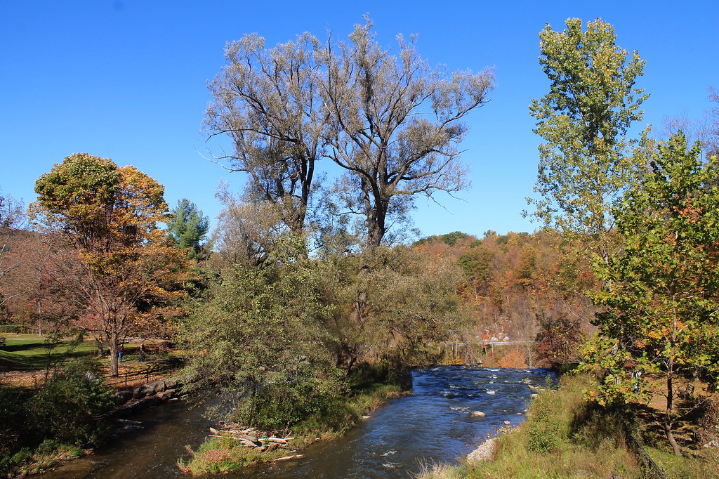 Photo: andyarthur, CC BY 2.0 (via Flickr)
Lehigh Valley Railroad (Link Trail)
~7 min drive
14.29-mile out-and-back trail in New York with 892 ft gain
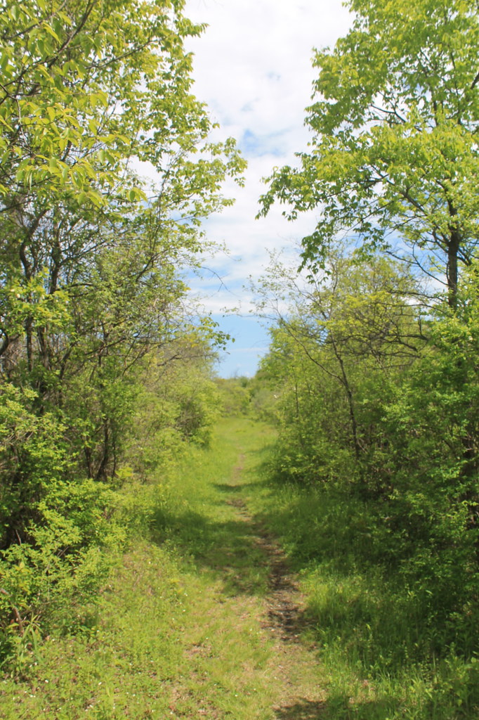 Photo: andyarthur, CC BY 2.0 (via Flickr)
Link Trail
~8 min drive
Demanding 15.8-mile out-and-back trail in New York for experienced hikers.
 Photo: javajoe6, CC BY-SA 3.0 (via Wikimedia Commons)
Flt - O2 Ny 13 To Smith Rd
~10 min drive
0.98-mile out-and-back trail in New York with 187 ft gain and 629 ft loss.
 Photo: Russ Nelson, CC BY-SA 2.0 (via Flickr)
Rod's Pond Loop
Next door
Rod's Pond Loop is a 0.58-mile point-to-point trail in New York with 63 ft of elevation gain.
HIKE
Green Trail
~18 min drive
Easy 4.14-mile out-and-back woodland hike in New York.
HIKE
Link Trail
~9 min drive
12-mile point-to-point trail through New York's scenic backcountry.
 Photo: javajoe6, CC BY-SA 3.0 (via Wikimedia Commons)
Main Trail
~13 min drive
A 6.36-mile point-to-point trail in New York.
Photo: Russ Nelson, CC BY-SA 2.0 (via Flickr)Gateway Trail
Next door
2.08-mile point-to-point trail in New York with 177 ft gain and 381 ft loss.
 Photo: javajoe6, CC BY-SA 3.0 (via Wikimedia Commons)
Flt - O2 Highland County Forest
~13 min drive
4.29-mile out-and-back trail in New York with 1,059 ft gain
Map and trail data © OpenStreetMap contributors
