Granite Peak
- 8,729 ft
- summit
- 1
- way up
Is Granite Peak open right now?
Closure in the area
There's a closure order in Gila National Forest. It doesn't name Granite Peak, so check the source for the area it covers.
Beaverhead Water Non-Potable
Agency closure covering Gila National Forest · USFS · Gila National Forest
Harmful algae detected in Lake Roberts
Agency alert covering Gila National Forest · USFS · Gila National Forest
Potentially Dangerous Animal Encounters
Agency alert covering Gila National Forest · USFS · Gila National Forest
As of · Source: USFS · Gila National Forest. Agencies don't list every closure — check before you go.
Granite Peak is a summit in the Gila Wilderness, part of the Wilderness Ranger District of the Gila National Forest in southwestern New Mexico. The nearest town is Gila Hot Springs, about 10 miles away. The closest route is Granite Peak Trail #150, under a mile away. Little Creek Trail #161 and Cienega (Upper Mogollon Cr.) lie within a few miles. Forks Campground, near Gila Hot Springs, offers a base for overnight trips.
Conditions and forecast
Daily highs and lows, wind and the chance of precipitation at the summit and route start for the next 7 days, from the Open-Meteo model.
- Summit elevation
- 8,729 ft
Elevation from USGS 3D Elevation Program terrain data (about 10 m resolution).
Map © Mapbox © OpenStreetMap contributors Questions about Granite Peak
How tall is Granite Peak?
8,729 ft (2,661 m).
How many routes go to the summit of Granite Peak?
One: Granite Peak Trail #150.
- Mogollon Baldy Peak10,771 ft · New Mexico1 route14 mi away
- Black Mountain9,289 ft · New Mexico4 routes15 mi away
- Turkeyfeather Mountain9,737 ft · New Mexico1 route16 mi away
- Black Mountain10,644 ft · New Mexico1 route19 mi away
- Middle Mesa7,509 ft · New Mexico1 route20 mi away
- Signal Peak9,000 ft · New Mexico1 route22 mi away
- Granite Peak Trail #150Hiking0.9 mi
- Little Creek Trail #161Hiking1.9 mi
- Cienega (Upper Mogollon Cr.)Hiking2.4 mi
- Little Creek CutoffHiking2.6 mi
- Ring Canyon TrailHiking3.1 mi
 West Fork Gila RiverCanoeingPhoto: Chris M Morris, CC BY 2.0 (via Wikimedia Commons)4.8 mi
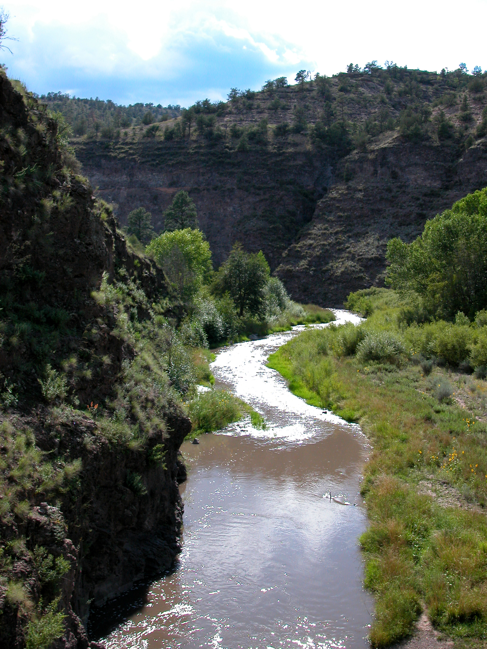 Middle Fork Gila RiverCanoeingPhoto: Joe Burgess, Public domain (via Wikimedia Commons)9.3 mi
- Forks CampgroundCamping9.8 mi
Source: Roamze catalog (indexable pages within 10 miles, PostGIS distance)
 Reeds PeakSummit · ~52 min drivePhoto: Patrick Alexander from Las Cruces, NM, CC0 (via Wikimedia Commons)
- Mogollon Baldy PeakSummit · ~24 min drive
- Aeroplane MesaSummit · ~24 min drive
- Black MountainSummit · ~26 min drive
- Turkeyfeather MountainSummit · ~27 min drive
- Black MountainSummit · ~32 min drive
- Scott PeakSummit · ~33 min drive
- Windy PointSummit · ~35 min drive
- Signal PeakSummit · ~37 min drive
- Grouse MountainSummit · ~38 min drive
Also worth it near here

