Santa Fe Trail
- 6.9 mi
- round trip
- 542 ft
- climb
- 6,402 ft
- high point
- Out and back
- route
- May–Jun, Aug–Oct
- best months
The Santa Fe Trail is a 13.8-mile out-and-back hike in northern New Mexico, about 4.5 miles from the small community of Koehler. The route rises steadily from a starting point of about 6,292 feet to a high point of 6,402 feet, with a total elevation gain of 542 feet over the full trip. The climb is steady, and the steepest stretch comes around mile 5.9, where the grade reaches about 6 percent. The trail is rated hard, and the round trip takes about five hours. Spring and fall are the most comfortable times to go. Typical averages from a nearby weather station at Raton show May highs around 74°F and October highs around 68°F, while July and August average highs in the mid-80s with the most wet days of the year. The trail's elevation is close to the station's, so temperatures at the high point run only slightly cooler.
 Climax LoopHiking · ~26 min drivePhoto: DorianSummers, CC BY-SA 3.0 (via Wikimedia Commons)
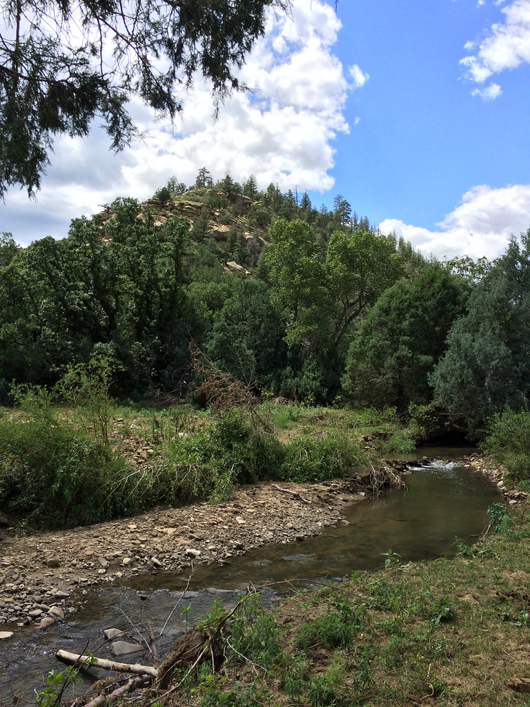 Ponil Turnaround - Ponil TrailHiking · ~46 min drivePhoto: sprague, CC BY 2.0 (via Flickr)
- Santa Fe TrailHiking · Next door
- Santa Fe TrailHiking · ~14 min drive
- Santa Fe TrailHiking · ~20 min drive
- Trail Canyon to Dean CowHiking · ~45 min drive
- Lake 14 TrailHiking · ~14 min drive
- Trail DHiking · ~39 min drive
- Santa Fe TrailHiking · ~46 min drive
- Santa Fe TrailHiking · ~15 min drive
Also worth it near here
Best time to visit Santa Fe Trail
Best months: May–June and August–October. Best months have typical highs of 55–85 °F, lows of 30 °F or warmer (32 °F where the station doesn't record snow), at most one snowy day and no more than 12 wet days.
Jan
47° / 14°
5 wet
Feb
50° / 18°
5 wet
Mar
58° / 23°
6 wet
Apr
65° / 31°
6 wet
May
74° / 40°
7 wet
Jun
84° / 49°
8 wet
Jul
87° / 54°
11 wet
Aug
85° / 53°
11 wet
Sep
78° / 45°
8 wet
Oct
68° / 34°
6 wet
Nov
55° / 22°
5 wet
Dec
46° / 14°
5 wet
Typical high / low (°F) and days with rain or snow, 1991–2020. Measured at Raton Muni Crews Ap, NM, 4.1 mi away at 6,349 ft. This station doesn't record snowfall. Source: NOAA NCEI U.S. Climate Normals 1991–2020.


Map and trail data © OpenStreetMap contributors
