Pumphouse Ridge V Trail
- 0.9 mi
- round trip
- 133 ft
- climb
- 8,881 ft
- high point
- Out and back
- route
- May–Jun, Sep–Oct
- best months
Is Pumphouse Ridge V Trail open right now?
Alert in the area
The Forest Service lists 6 alerts for Lincoln National Forest.
Order# 03-08-26-002: Temporary Road Closure
Agency alert covering Lincoln National Forest · Order 03-08-26-002 · USFS · Lincoln National Forest
Current Fire Restrictions and Related Prohibitions
Agency alert covering Lincoln National Forest · USFS · Lincoln National Forest
Order# 03-08-02-26-001: Bluff Springs Temporary Closure on Sacramento Ranger District
Agency alert covering Sacramento Ranger District · Order 03-08-02-26-001 · USFS · Sacramento Ranger District
Order# 03-08-02-25-001: Sacramento Ranger District Area/ Dispersed Camping and Motor Vehicle Use
Agency alert covering Sacramento Ranger District · Order 03-08-02-25-001 · USFS · Sacramento Ranger District
InciWeb - for current incidents
Agency alert covering Lincoln National Forest · USFS · Lincoln National Forest
As of · Source: USFS · Lincoln National Forest. Agencies don't list every closure — check before you go.
Pumphouse Ridge V Trail is an easy out-and-back hike of about 1.9 miles on the Sacramento Ranger District of Lincoln National Forest in southern New Mexico. The Forest Service manages the land, and the trail is a short, low-elevation route, with a total climb of about 130 feet from a low point of 8,730 feet to a high of 8,881 feet. Late spring and early fall are the most comfortable times to go. Typical averages from the nearby Cloudcroft weather station, which sits at a similar elevation, show May highs around 66°F and September highs around 67°F. July and August bring the most wet days, about 16 each month, while winter highs sit in the low 40s. The trail sits within a cluster of Pumphouse Ridge routes. Pumphouse Ridge 4 Trail (5661H) is just 0.2 miles away, and PUMPHOUSE RIDGE III, Pumphouse Ridge 3 Trail (5661F) and Pumphouse Ridge 2 Trail (5661D) are each about a mile off. Aspen campground, roughly 4 miles away, is the nearest place to camp.
- Pumphouse Ridge 4 Trail (5661H)Hiking0.2 mi
- PUMPHOUSE RIDGE IIIHiking1 mi
- Pumphouse Ridge 3 Trail (5661F)Hiking1 mi
- Pumphouse Ridge 2 Trail (5661D)Hiking1 mi
- AspenCamping4.2 mi
- Black Bear GcCamping4.2 mi
- Upper FirCamping4.7 mi
- Fir Lower GcCamping4.8 mi
Source: Roamze catalog (indexable pages within 10 miles, PostGIS distance)
 SleepygrassHiking · ~6 min drivePhoto: Alexander Hatley, CC BY 2.0 (via Flickr)
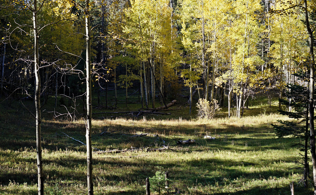 Rim Trail (105)Hiking · ~8 min drivePhoto: uıɐɾ ʞ ʇɐɯɐs, CC BY-SA 2.0 (via Flickr)
 OshaHiking · ~9 min drivePhoto: Alexander Hatley, CC BY 2.0 (via Flickr)
 PinesHiking · ~8 min drivePhoto: Alexander Hatley, CC BY 2.0 (via Flickr)
 SwitchbackHiking · ~10 min drivePhoto: Kaesop, CC BY-SA 4.0 (via Wikimedia Commons)
- PUMPHOUSE RIDGE IIIHiking · ~2 min drive
- Village Spur Trail (5001A)Hiking · ~9 min drivePhoto: Alexander Hatley, CC BY 2.0 (via Flickr)
- ChippewayHiking · ~5 min drive
- Pumphouse Ridge 3 Trail (5661F)Hiking · ~2 min drive
- 5688 to 10Hiking · ~9 min drivePhoto: Alexander Hatley, CC BY 2.0 (via Flickr)
Best time to visit Pumphouse Ridge V Trail
Best months: May–June and September–October. Best months have typical highs of 55–85 °F, lows of 30 °F or warmer (32 °F where the station doesn't record snow), at most one snowy day and no more than 12 wet days.
Jan
42° / 19°
6 wet
Feb
45° / 22°
6 wet
Mar
51° / 26°
6 wet
Apr
58° / 31°
4 wet
May
66° / 38°
5 wet
Jun
74° / 45°
9 wet
Jul
72° / 48°
16 wet
Aug
71° / 47°
16 wet
Sep
67° / 42°
10 wet
Oct
60° / 34°
6 wet
Nov
51° / 26°
5 wet
Dec
43° / 19°
6 wet
Typical high / low (°F) and days with rain or snow, 1991–2020. Measured at Cloudcroft, NM, 4.3 mi away at 8,679 ft. This station doesn't record snowfall. Source: NOAA NCEI U.S. Climate Normals 1991–2020.
Map and trail data © OpenStreetMap contributors
