North Campground path
- 0.6 mi
- distance
- 55 ft
- climb
- 4,238 ft
- high point
- Lollipop
- route
- Mar–May, Sep–Nov
- best months
North Campground path is a short, easy hike in Conchas Lake State Park in New Mexico, managed by State Park and Recreation. The route is about 0.6 miles long, with a total elevation gain of 55 feet, and it starts at roughly 4,238 feet. The path is a gentle walk rather than a climb. It reaches a high point of about 4,238 feet and a low of about 4,200 feet, with the steepest stretch at about 0.47 miles in, where the grade reaches about 5%. The route is short enough to fit into a quick stop at the park. Spring and fall are the most comfortable times to go. Typical averages from the nearby Conchas Dam weather station show October highs around 74°F with lows near 46°F, and April highs around 72°F with lows near 45°F. Summer highs there typically reach the low 90s. The Bell Point Campground Trail lies just 0.1 mile away, and the Central Campground path is about 1.9 miles off. The South Loading Ramp Walkpath and South Campground Walkpath are both within about 3.5 miles.
Local outfitters
- Ramblin Rose RV Park44 mi away
Not on Roamze yet. Their page has how to reach them.
- Bell Point Campground TrailHiking0.1 mi
- Central Campground pathHiking1.9 mi
- South Loading Ramp WalkpathHiking3.2 mi
- South Campground WalkpathHiking3.5 mi
Source: Roamze catalog (indexable pages within 10 miles, PostGIS distance)
 Santa Fe TrailHiking · ~1h 24m drivePhoto: markbyzewski, CC BY 2.0 (via Flickr)
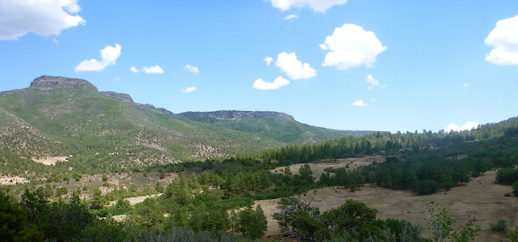 Santa Fe TrailHiking · ~1h 24m drivePhoto: T100Timlen, Public Domain Dedication (CC0) (via Flickr)
- Bell Point Campground TrailHiking · Next door
- Central Campground pathHiking · ~3 min drive
- South Loading Ramp WalkpathHiking · ~6 min drive
- South Campground WalkpathHiking · ~6 min drive
- Sunset TrailHiking · ~50 min drive
- Moon Glow TrailHiking · ~52 min drive
- Santa Fe TrailHiking · ~1h 24m drive
- Santa Fe TrailHiking · ~1h 24m drive
Best time to visit North Campground path
Best months: March–May and September–November. Best months have typical highs of 55–85 °F, lows of 30 °F or warmer (32 °F where the station doesn't record snow), at most one snowy day and no more than 12 wet days.
Jan
53° / 25°
3 wet
Feb
57° / 29°
3 wet
Mar
65° / 36°
3 wet
Apr
72° / 45°
4 wet
May
81° / 54°
5 wet
Jun
92° / 64°
6 wet
Jul
94° / 68°
8 wet
Aug
92° / 66°
9 wet
Sep
85° / 59°
6 wet
Oct
74° / 46°
4 wet
Nov
62° / 35°
3 wet
Dec
52° / 27°
3 wet
Typical high / low (°F) and days with rain or snow, 1991–2020. Measured at Conchas Dam, NM, 1.4 mi away at 4,244 ft. This station doesn't record snowfall. Source: NOAA NCEI U.S. Climate Normals 1991–2020.

Map and trail data © OpenStreetMap contributors
