Lookout Mountain
- 1.6 mi
- round trip
- 371 ft
- climb
- 11,525 ft
- high point
- Out and back
- route
Is Lookout Mountain open right now?
Alert in the area
The Forest Service lists 5 alerts for Smokey Bear Ranger District.
Order# 03-08-01-26-003 Cedar Creek Closure
Agency alert covering Smokey Bear Ranger District · Order 03-08-01-26-003 · USFS · Smokey Bear Ranger District
Order# 03-08-26-002: Temporary Road Closure
Agency alert covering Lincoln National Forest · Order 03-08-26-002 · USFS · Lincoln National Forest
Current Fire Restrictions and Related Prohibitions
Agency alert covering Lincoln National Forest · USFS · Lincoln National Forest
InciWeb - for current incidents
Agency alert covering Lincoln National Forest · USFS · Lincoln National Forest
Snow Play Closure
Agency alert covering Smokey Bear Ranger District · Order 03-08-01-24-007 · USFS · Smokey Bear Ranger District
As of · Source: USFS · Smokey Bear Ranger District. Agencies don't list every closure — check before you go.
Lookout Mountain is a short hike in the White Mountain Wilderness, part of the Smokey Bear Ranger District of New Mexico's Lincoln National Forest. The trail is rated easy and covers 1.6 miles as an out-and-back. The route starts high, at about 11,135 feet, and tops out near 11,525 feet. It gains about 370 feet one way, so the climb stays modest for the elevation. The tread is natural surface, and the trail is open to bikes and horses as well as hikers. Game Trail lies about 0.8 miles away, and the Crest Trail and Bluefront Trail are each roughly a mile and a half off. Climbers can find the Ruidoso Area climbing spot about 1.5 miles away.
Conditions and forecast on Lookout Mountain
Daily highs and lows, wind and the chance of precipitation at the summit and route start for the next 7 days, from the Open-Meteo model.
- Game TrailHiking0.8 mi
- Crest TrailHiking1.4 mi
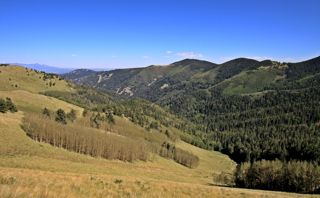 Bluefront TrailHikingPhoto: uıɐɾ ʞ ʇɐɯɐs, CC BY-SA 2.0 (via Flickr)1.5 mi
- Ruidoso AreaRock climbing1.5 mi
- ScenicHiking1.7 mi
- No Way Out BoulderRock climbing5.3 mi
- The West FacesRock climbing5.3 mi
- Monjeau PeakRock climbing5.5 mi
Source: Roamze catalog (indexable pages within 10 miles, PostGIS distance)
- Bluefront TrailHiking · ~2 min drivePhoto: uıɐɾ ʞ ʇɐɯɐs, CC BY-SA 2.0 (via Flickr)
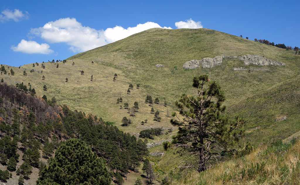 MaverickHiking · ~4 min drivePhoto: uıɐɾ ʞ ʇɐɯɐs, CC BY-SA 2.0 (via Flickr)
 Dry CanyonHiking · ~5 min drivePhoto: uıɐɾ ʞ ʇɐɯɐs, CC BY-SA 2.0 (via Flickr)
- Crest TrailHiking · ~2 min drive
- Barber RidgeHiking · ~6 min drivePhoto: uıɐɾ ʞ ʇɐɯɐs, CC BY-SA 2.0 (via Flickr)
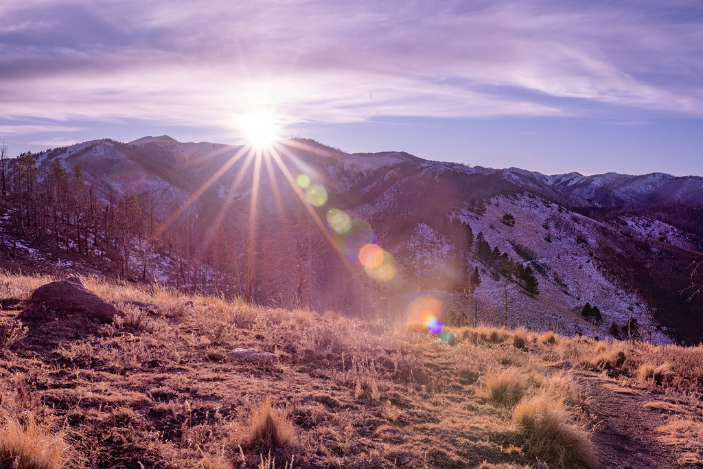 North Eagle CreekHiking · ~8 min drivePhoto: joncutrer, CC BY 2.0 (via Flickr)
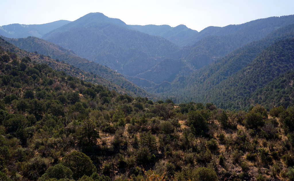 Goat CanyonHiking · ~7 min drivePhoto: uıɐɾ ʞ ʇɐɯɐs, CC BY-SA 2.0 (via Flickr)
- Three RiversHiking · ~6 min drivePhoto: uıɐɾ ʞ ʇɐɯɐs, CC BY-SA 2.0 (via Flickr)
- Game TrailHiking · ~1 min drive
 Telephone CanyonHiking · ~8 min drivePhoto: CK Kelly, CC BY 4.0 (via Wikimedia Commons)

Route details
- Distance
- 1.6 mi round trip
- Climbing
- About 371 ft
- Summit
- 11,572 ft
- Difficulty
- Easy
Other routes up Lookout Mountain
Questions about this route
How long is the Lookout Mountain on Lookout Mountain?
About 1.6 mi round trip.
How much elevation gain is on the Lookout Mountain?
About 371 ft of climbing round trip.
How hard is the Lookout Mountain?
It is rated easy.
How many routes go up Lookout Mountain?
2: Lookout Mountain and Game Trail.
