Hubbell Cyn
- 8.8 mi
- round trip
- 690 ft
- climb
- 9,385 ft
- high point
- Out and back
- route
- May–Jun, Sep–Oct
- best months
Is Hubbell Cyn open right now?
Alert in the area
The Forest Service lists 6 alerts for Lincoln National Forest.
Order# 03-08-26-002: Temporary Road Closure
Agency alert covering Lincoln National Forest · Order 03-08-26-002 · USFS · Lincoln National Forest
Current Fire Restrictions and Related Prohibitions
Agency alert covering Lincoln National Forest · USFS · Lincoln National Forest
Order# 03-08-02-26-001: Bluff Springs Temporary Closure on Sacramento Ranger District
Agency alert covering Sacramento Ranger District · Order 03-08-02-26-001 · USFS · Sacramento Ranger District
Order# 03-08-02-25-001: Sacramento Ranger District Area/ Dispersed Camping and Motor Vehicle Use
Agency alert covering Sacramento Ranger District · Order 03-08-02-25-001 · USFS · Sacramento Ranger District
InciWeb - for current incidents
Agency alert covering Lincoln National Forest · USFS · Lincoln National Forest
As of · Source: USFS · Lincoln National Forest. Agencies don't list every closure — check before you go.
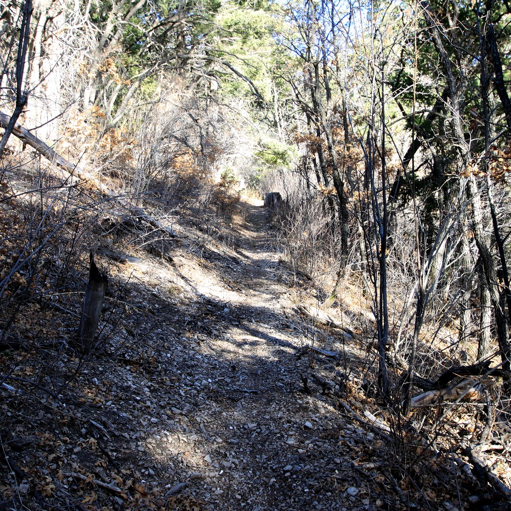
Hubbell Cyn is an out-and-back hike of about 8.8 miles in the Sacramento Ranger District of Lincoln National Forest in southern New Mexico, managed by the Forest Service. The trail rises from a low point of about 8,736 feet to a high of about 9,385 feet, with a total elevation gain of 690 feet. The route is rated hard, and the trail surface is natural. Bikes and horses are both allowed. For comfortable weather, aim for late spring or early fall. Typical averages from the nearby Cloudcroft weather station, which sits about 700 feet lower, show May highs around 66°F and September highs around 67°F, while July and August bring the most wet days, about 16 each month. The Wills Canyon Trail (5008) starts about half a mile away, and the Upper Wills Canyon Alternate Trail (9278A) is about 1.7 miles off. For an overnight base, Slide and Aspen campgrounds are each about 10 miles away.
- Wills Canyon Trail (5008)Hiking0.5 mi
- Upper Wills Canyon Alternate Trail (9278A)Hiking1.7 mi
- Wills CanyonHiking2 mi
- Upper Wills CynHiking2 mi
- Corral CynHiking2.3 mi
- SlideCamping9.9 mi
- AspenCamping9.9 mi
- Black Bear GcCamping9.9 mi
Source: Roamze catalog (indexable pages within 10 miles, PostGIS distance)
 Rim TrailHiking · ~6 min drivePhoto: uıɐɾ ʞ ʇɐɯɐs, CC BY-SA 2.0 (via Flickr)
- Road CanyonHiking · ~7 min drivePhoto: uıɐɾ ʞ ʇɐɯɐs, CC BY-SA 2.0 (via Flickr)
 Rim TrailHiking · ~7 min drivePhoto: uıɐɾ ʞ ʇɐɯɐs, CC BY-SA 2.0 (via Flickr)
- Upper Wills CynHiking · ~3 min drive
- Apache Point Observatory RoadHiking · ~6 min drivePhoto: uıɐɾ ʞ ʇɐɯɐs, CC BY-SA 2.0 (via Flickr)
- Taylor CynHiking · ~4 min drive
- Willie WhiteHiking · ~5 min drive
- SunspotHiking · ~7 min drivePhoto: uıɐɾ ʞ ʇɐɯɐs, CC BY-SA 2.0 (via Flickr)
- Sacramento N.Hiking · ~4 min drive
- Benson CynHiking · ~6 min drive
Best time to visit Hubbell Cyn
Best months: May–June and September–October. Best months have typical highs of 55–85 °F, lows of 30 °F or warmer (32 °F where the station doesn't record snow), at most one snowy day and no more than 12 wet days.
Jan
42° / 19°
6 wet
Feb
45° / 22°
6 wet
Mar
51° / 26°
6 wet
Apr
58° / 31°
4 wet
May
66° / 38°
5 wet
Jun
74° / 45°
9 wet
Jul
72° / 48°
16 wet
Aug
71° / 47°
16 wet
Sep
67° / 42°
10 wet
Oct
60° / 34°
6 wet
Nov
51° / 26°
5 wet
Dec
43° / 19°
6 wet
Typical high / low (°F) and days with rain or snow, 1991–2020. Measured at Cloudcroft, NM, 10.9 mi away at 8,679 ft. The station sits about 700 ft lower than this place, so expect it a little cooler here. This station doesn't record snowfall. Source: NOAA NCEI U.S. Climate Normals 1991–2020.
