Gobbler Knob
- 5.4 mi
- round trip
- 453 ft
- climb
- 7,807 ft
- high point
- Out and back
- route
Gobbler Knob is a moderate out-and-back hike in the Sacramento Ranger District of Lincoln National Forest in New Mexico, about 5.4 miles long with a one-way elevation gain of 453 feet. The trail reaches a high point of 7,807 feet, starting from a low point of about 7,411 feet, and the Forest Service manages the surrounding land. The trail is natural-surfaced and allows both horses and bikes. It stays open year-round, so you can plan a trip anytime. Late spring and early fall are the most comfortable seasons. Typical averages from a nearby weather station run to highs around 73°F in May and 74°F in September, while July and August bring the most wet days, about 10 each month. That station sits roughly 1,000 feet lower than the trail, so temperatures on the knob run cooler. Nearby options include Dog Canyon Trail and Moonshine Trail (90V), both about 2 miles away, and the Rim Trail at about 2.7 miles. Apache Point Observatory Road is about 3.2 miles off.
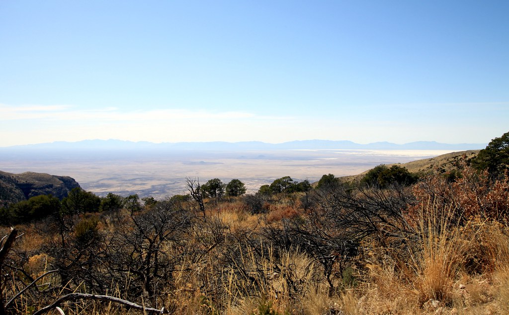 Dog Canyon TrailHikingPhoto: uıɐɾ ʞ ʇɐɯɐs, CC BY-SA 2.0 (via Flickr)2.2 mi
- Moonshine Trail (90V)Hiking2.3 mi
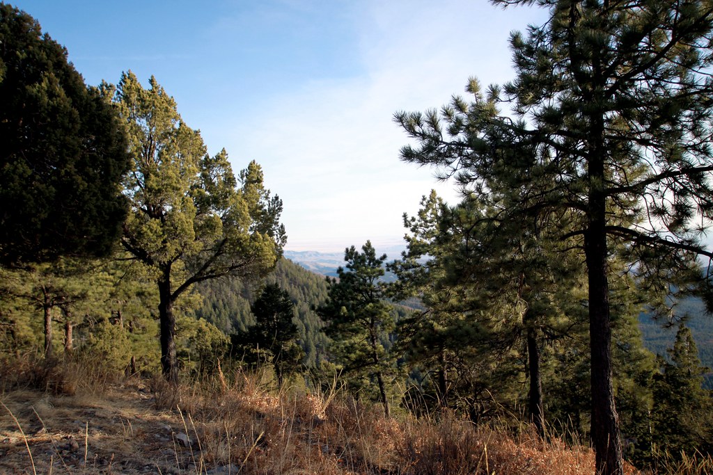 Road Cyn AltHikingPhoto: uıɐɾ ʞ ʇɐɯɐs, CC BY-SA 2.0 (via Flickr)2.4 mi
 Rim TrailHikingPhoto: uıɐɾ ʞ ʇɐɯɐs, CC BY-SA 2.0 (via Flickr)2.7 mi
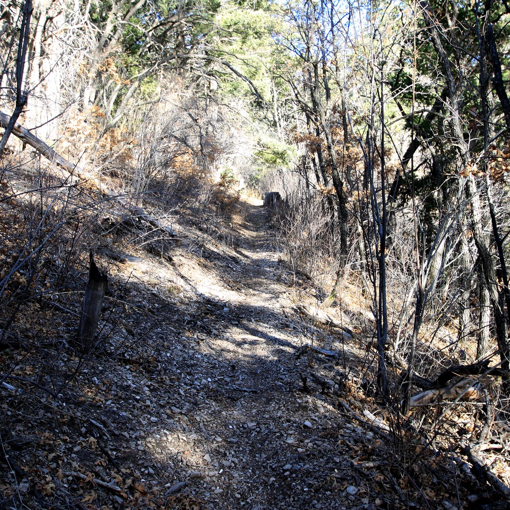 Road CanyonHikingPhoto: uıɐɾ ʞ ʇɐɯɐs, CC BY-SA 2.0 (via Flickr)2.9 mi
- Apache Point Observatory RoadHikingPhoto: uıɐɾ ʞ ʇɐɯɐs, CC BY-SA 2.0 (via Flickr)3.2 mi
- Thousand Mile Canyon Trail (9216)Hiking3.7 mi
- SunspotHikingPhoto: uıɐɾ ʞ ʇɐɯɐs, CC BY-SA 2.0 (via Flickr)3.7 mi
Source: Roamze catalog (indexable pages within 10 miles, PostGIS distance)
- Dog Canyon TrailHiking · ~4 min drivePhoto: uıɐɾ ʞ ʇɐɯɐs, CC BY-SA 2.0 (via Flickr)
- Road Cyn AltHiking · ~4 min drivePhoto: uıɐɾ ʞ ʇɐɯɐs, CC BY-SA 2.0 (via Flickr)
- Rim TrailHiking · ~5 min drivePhoto: uıɐɾ ʞ ʇɐɯɐs, CC BY-SA 2.0 (via Flickr)
- Road CanyonHiking · ~5 min drivePhoto: uıɐɾ ʞ ʇɐɯɐs, CC BY-SA 2.0 (via Flickr)
- Upper Wills CynHiking · ~7 min drive
- Apache Point Observatory RoadHiking · ~5 min drivePhoto: uıɐɾ ʞ ʇɐɯɐs, CC BY-SA 2.0 (via Flickr)
- Moonshine Trail (90V)Hiking · ~4 min drive
- Apple Tree CynHiking · ~10 min drive
- Rim TrailHiking · ~5 min drivePhoto: uıɐɾ ʞ ʇɐɯɐs, CC BY-SA 2.0 (via Flickr)
- Thousand Mile Canyon Trail (9216)Hiking · ~6 min drive

Route details
- Distance
- 5.4 mi round trip
- Climbing
- About 453 ft
- Summit
- 7,804 ft
- Difficulty
- Moderate
Season
Season: Year-round.
Questions about this route
How long is the Gobbler Knob on Gobbler Knob?
About 5.4 mi round trip.
How much elevation gain is on the Gobbler Knob?
About 453 ft of climbing round trip.
How hard is the Gobbler Knob?
It is rated moderate.
When is the best time for the Gobbler Knob?
Year-round.
Conditions and forecast on Gobbler Knob
Daily highs and lows, wind and the chance of precipitation at the summit and route start for the next 7 days, from the Open-Meteo model.
