Gila River Trail #724
- 29.5 mi
- distance
- 1,101 ft
- climb
- 5,479 ft
- high point
- Lollipop
- route
- Apr–May, Sep–Oct
- best months
Is Gila River Trail #724 open right now?
Closure in the area
There's a closure order in Gila National Forest. It doesn't name Gila River Trail #724, so check the source for the area it covers.
Beaverhead Water Non-Potable
Agency closure covering Gila National Forest · USFS · Gila National Forest
Harmful algae detected in Lake Roberts
Agency alert covering Gila National Forest · USFS · Gila National Forest
Potentially Dangerous Animal Encounters
Agency alert covering Gila National Forest · USFS · Gila National Forest
As of · Source: USFS · Gila National Forest. Agencies don't list every closure — check before you go.
Gila River Trail #724 is a 29.5-mile route in the Gila Wilderness, part of the Wilderness Ranger District of Gila National Forest in New Mexico. The Forest Service manages the land, and the trail runs from a low point of about 4,750 feet to a high of about 5,480 feet, with a total elevation gain of 1,101 feet. It is a hard hike, and the trip is estimated to take about 10.5 hours. Spring Canyon Trail #247 starts just 0.1 mile away, and Granny Mountain Trail #160 and Sheep Corral Trail #231 are within about 3 miles. Lake Roberts, roughly 9 miles off, offers fishing.
Local outfitters
- Silver City RV Park19 mi away
- Burro Mountain Homestead RV Park31 mi away
Not on Roamze yet. Their page has how to reach them.
- Spring Canyon Trail #247Hiking0.1 mi
- Granny Mountain Trail #160Hiking1.7 mi
- Sheep Corral Trail #231Hiking2.8 mi
- Snow CreekHiking3.1 mi
- Goose Lake (238)Hiking3.6 mi
- Snow Creek Trail #233Hiking3.7 mi
- Lake Roberts Boat LaunchLake fishing8.7 mi
- Lake RobertsLake fishing8.9 mi
Source: Roamze catalog (indexable pages within 10 miles, PostGIS distance)
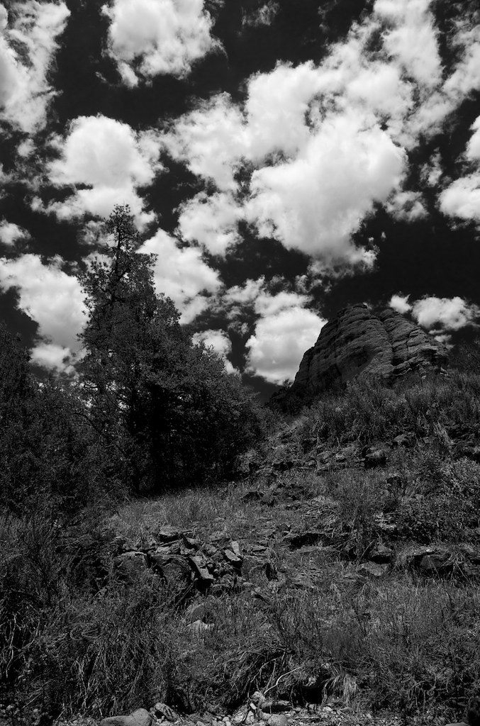 Alum Camp TrailHiking · ~17 min drivePhoto: maximalideal, CC BY-SA 2.0 (via Flickr)
- Granny Mountain Trail #160Hiking · ~3 min drive
- Snow Creek Trail #233Hiking · ~6 min drive
- Tadpole Ridge Trail #232Hiking · ~10 min drive
- Cdt - Gila River AlternateHiking · ~18 min drivePhoto: maximalideal, CC BY-SA 2.0 (via Flickr)
- GOOSE LAKEHiking · ~7 min drive
- Brushy Mountain Trail #403Hiking · ~12 min drive
- Snow CreekHiking · ~5 min drive
- Miller Springs Trail #159Hiking · ~13 min drive
- Military Trail #709Hiking · ~15 min drive
Best time to visit Gila River Trail #724
Best months: April–May and September–October. Best months have typical highs of 55–85 °F, lows of 30 °F or warmer (32 °F where the station doesn't record snow), at most one snowy day and no more than 12 wet days.
Jan
57° / 17°
5 wet · 1 snow
Feb
60° / 22°
5 wet
Mar
66° / 25°
4 wet
Apr
73° / 30°
2 wet
May
81° / 36°
3 wet
Jun
90° / 44°
5 wet
Jul
89° / 53°
12 wet
Aug
87° / 53°
13 wet
Sep
83° / 45°
8 wet
Oct
75° / 33°
5 wet
Nov
65° / 24°
4 wet
Dec
56° / 18°
5 wet · 1 snow
Typical high / low (°F) and days with rain or snow, 1991–2020. Measured at Gila Hot Springs, NM, 11.7 mi away at 5,636 ft. Source: NOAA NCEI U.S. Climate Normals 1991–2020.
Map and trail data © OpenStreetMap contributors
